 |
 |
|
|
|
|
Maps
|
||
 |
1877-2005 | |
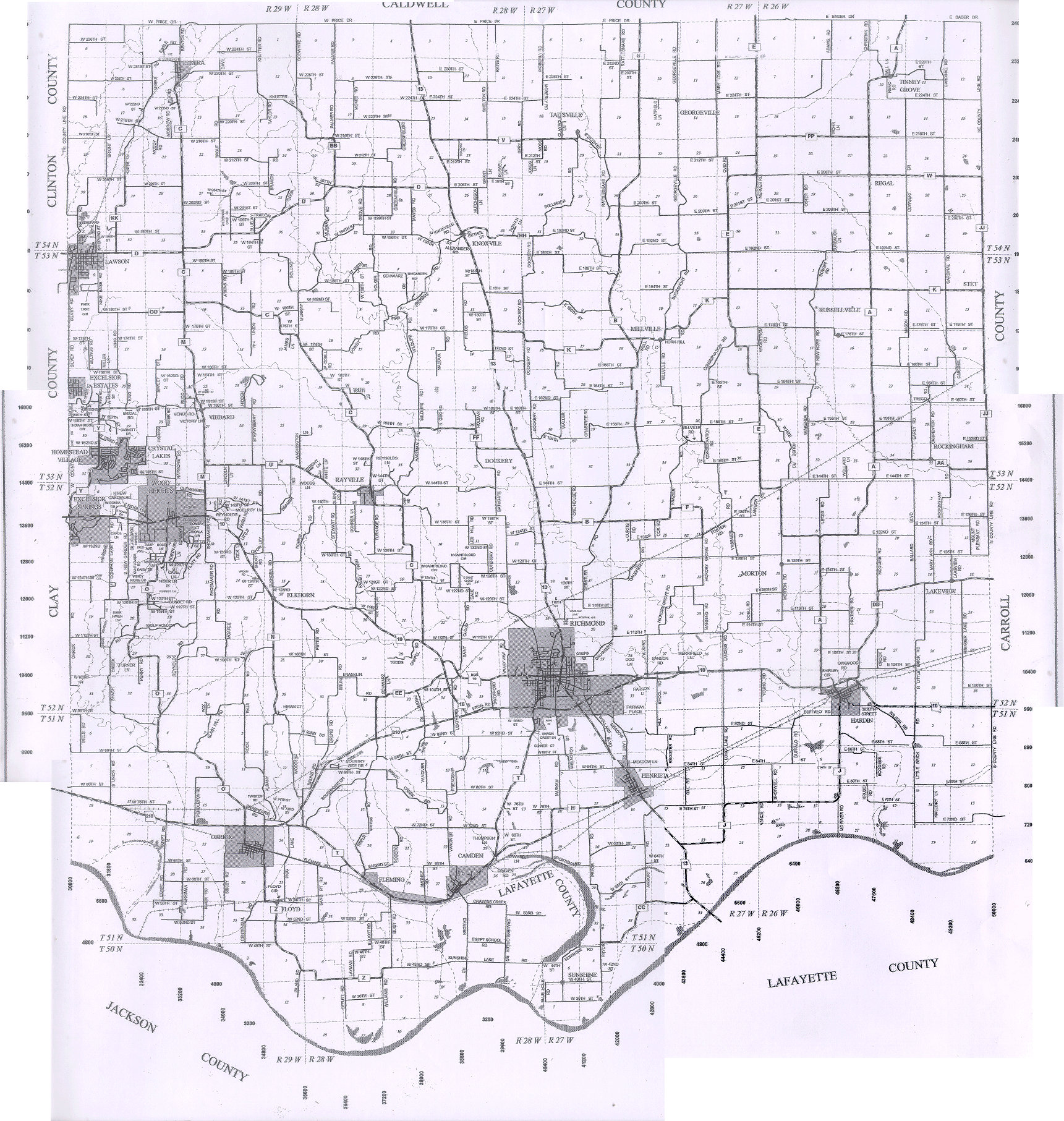 |
current | |
 |
current | |
 |
current | |
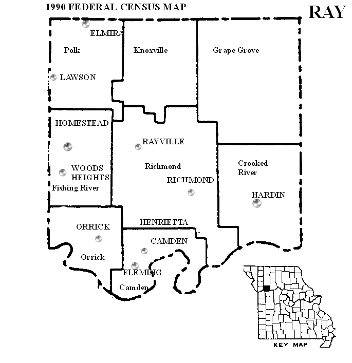 |
1990 | |
 |
1997 | |
 |
1959 | Ray County Atlas & Ownership Index |
 |
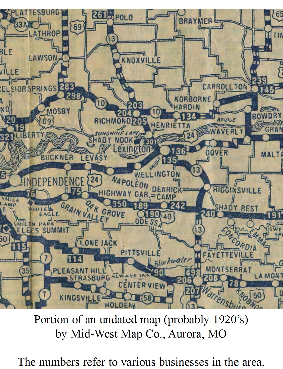
1930 | |
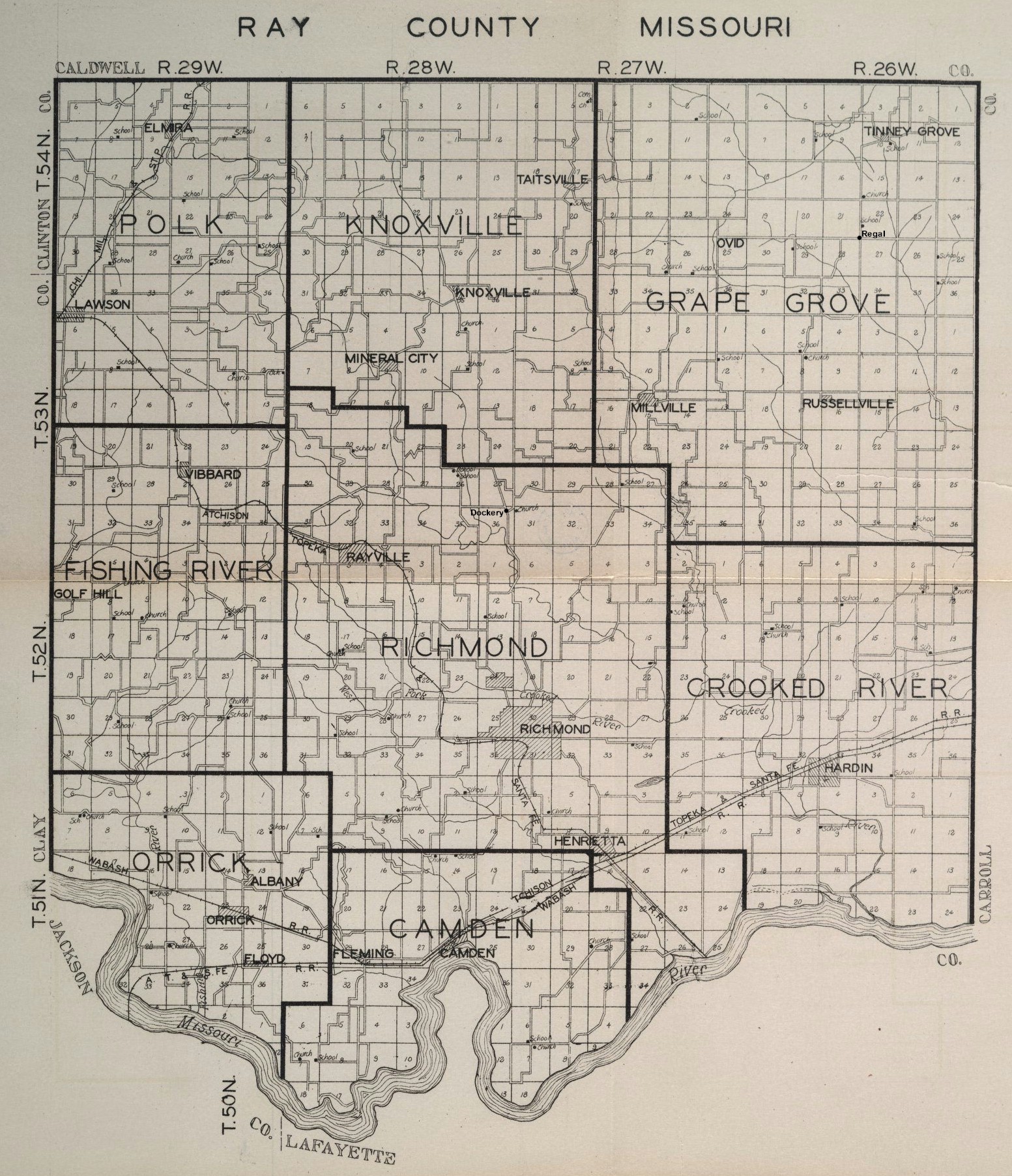 |
1930 | Ray County Township Map |
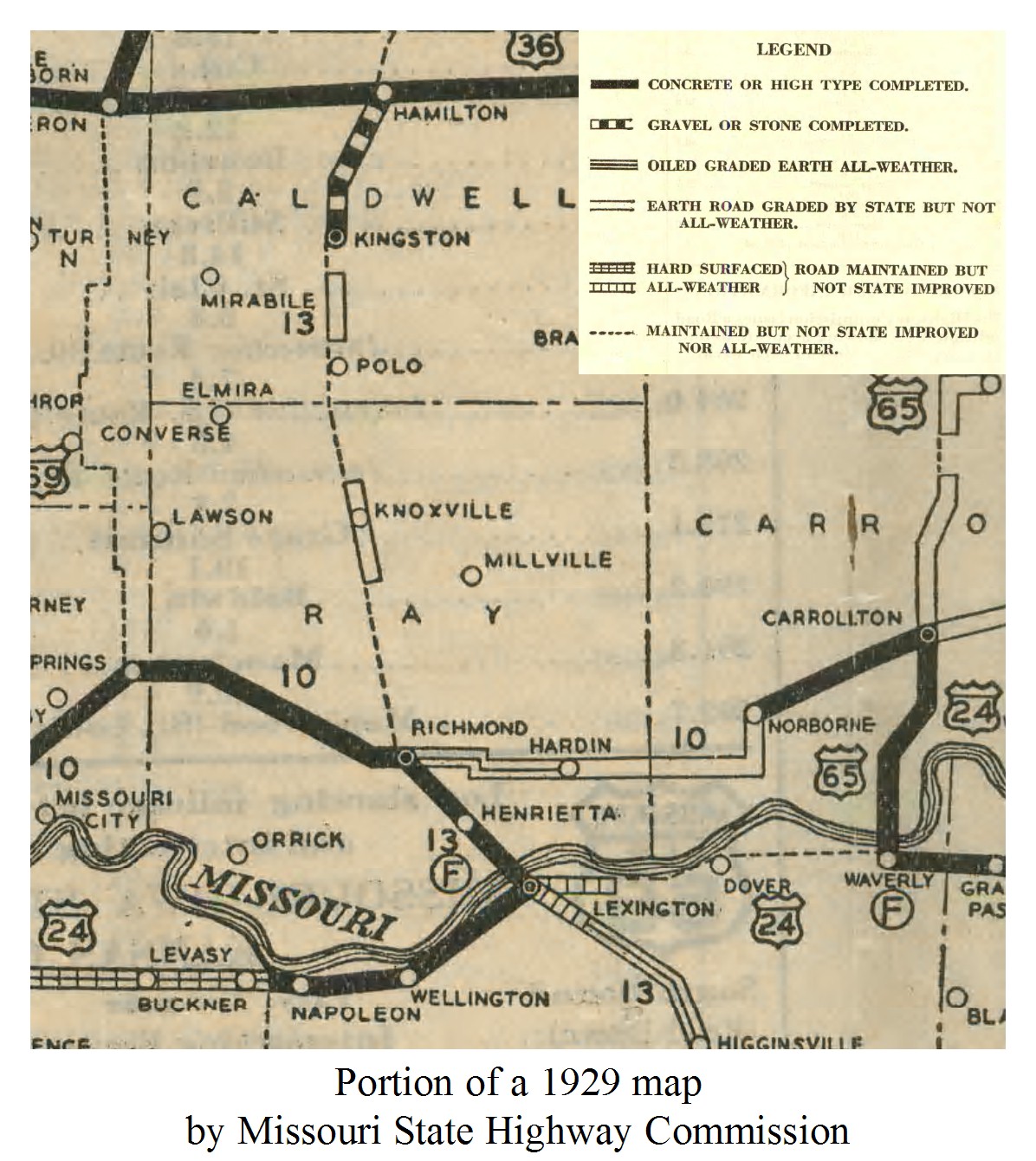 |
1929 | Ray County Map |
 |
1920 | Ray County Map |
 |
1914 | Missouri Counties Map |
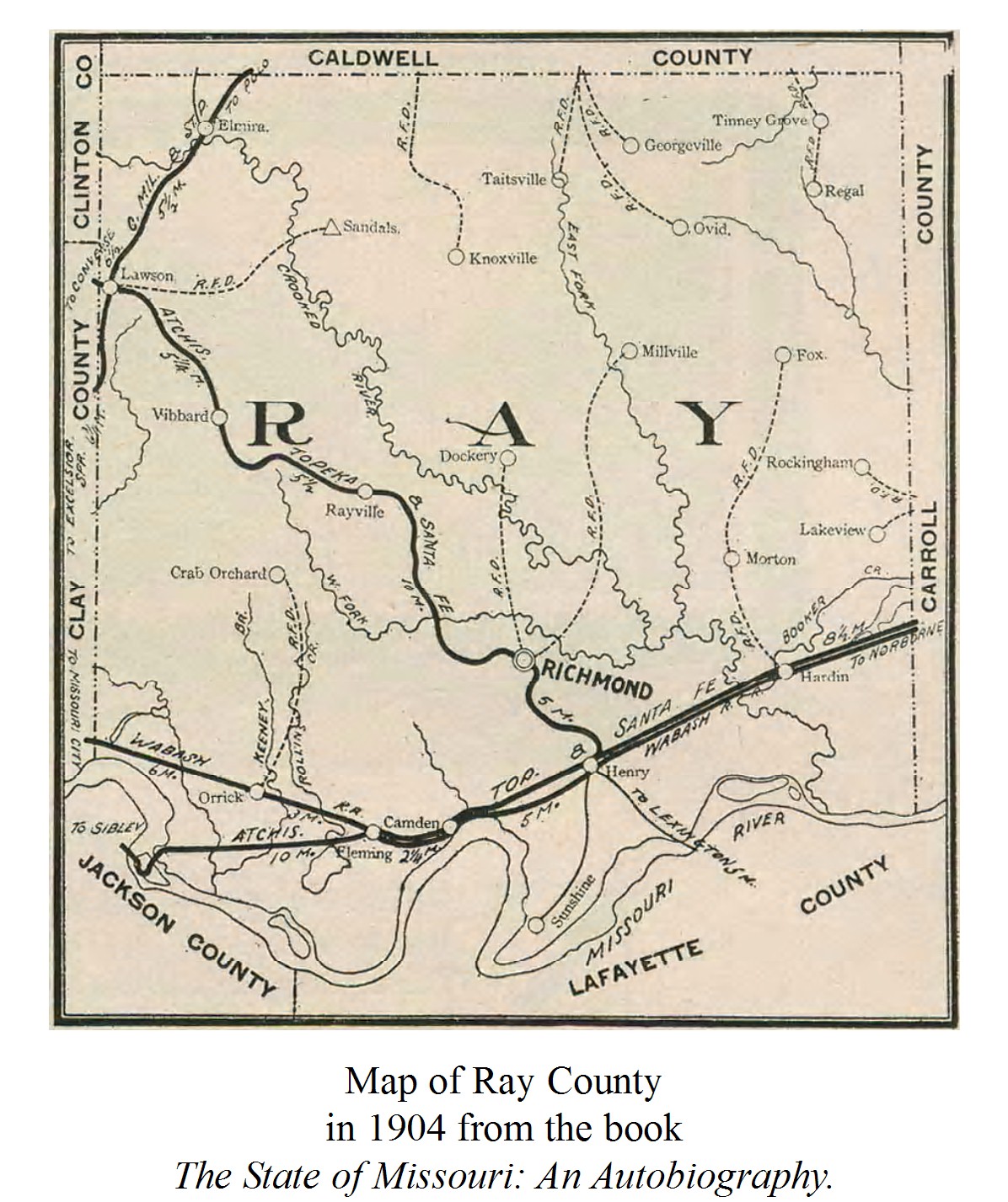 |
1904 | Ray County Map |
 |
1902 | Ray County Map |
 |
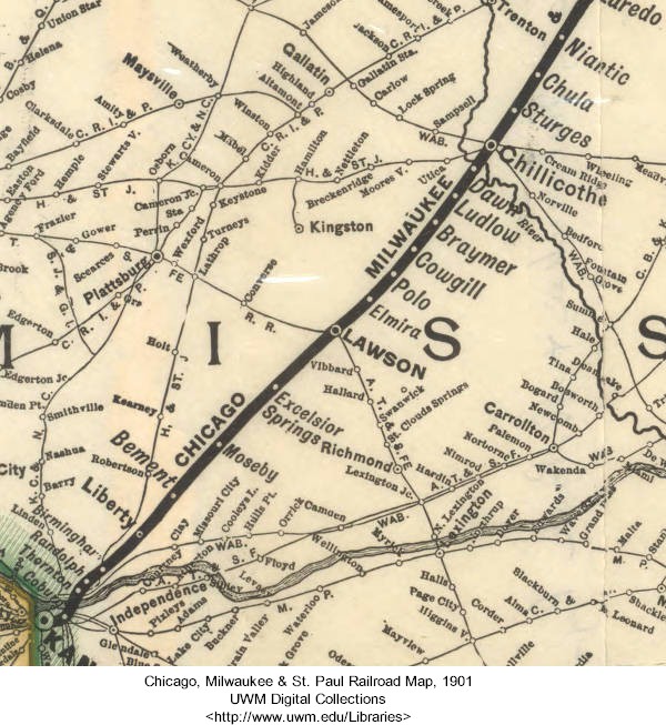
1901 | Chicago, Milwaukee & St. Paul Railroad Map |
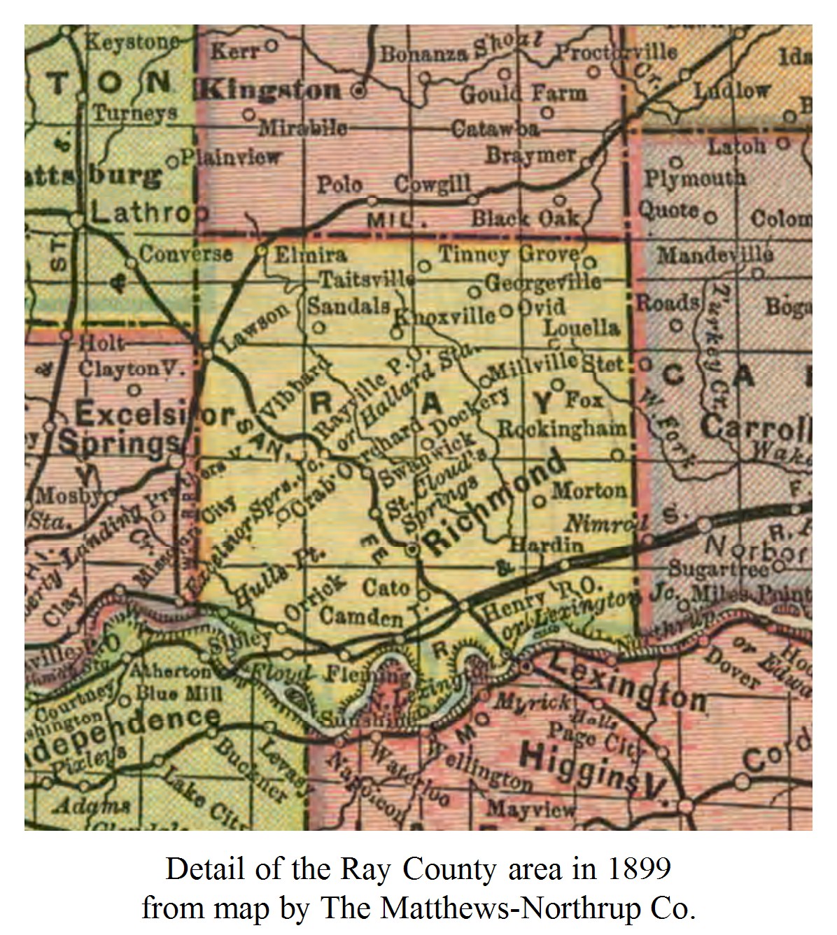 |
1899 | Ray County Map |
 |
1896 | Ray County Map |
 |
1894 | |
 |
1895 | |
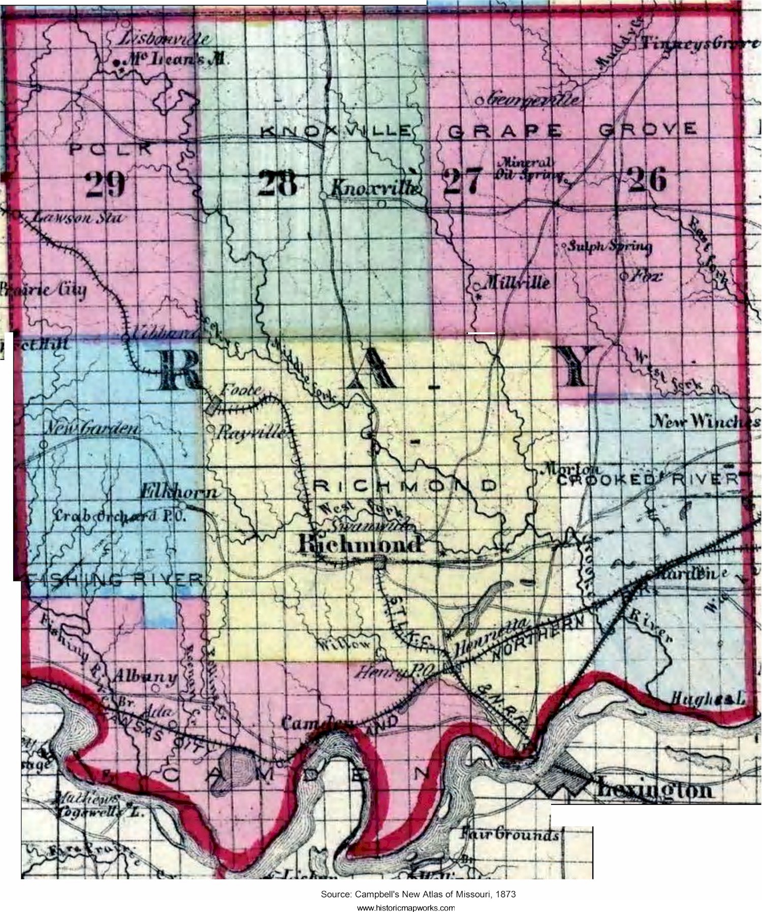 |
1873 | Campbell's New Atlas of Missouri (Ray County) |
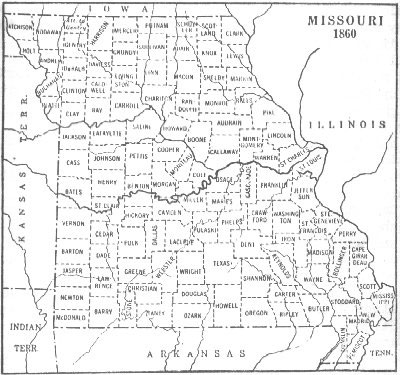 |
1860 | Missouri County Map |
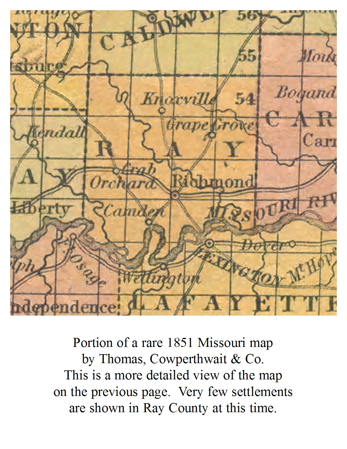 |
1851 | Ray County Map |
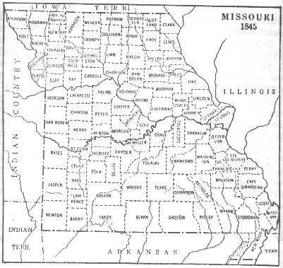 |
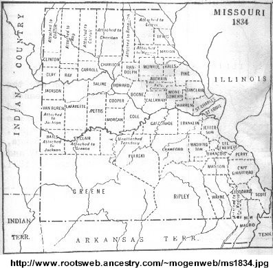
1845 | Missouri County Map |
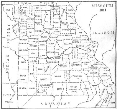 |
1841 | Missouri County Map |
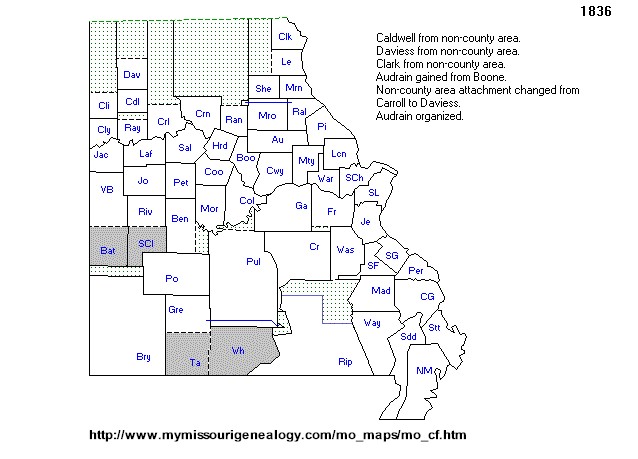 |
1836 | Missouri County Formation Map |
 |
1834 | |
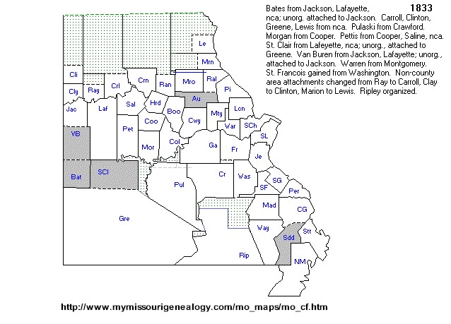 |
1833 | Missouri County Formation Map |
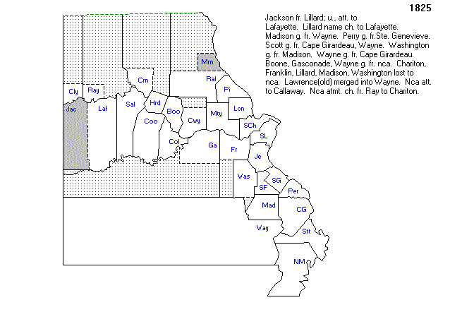 |
1825 | Missouri County Formation Map |
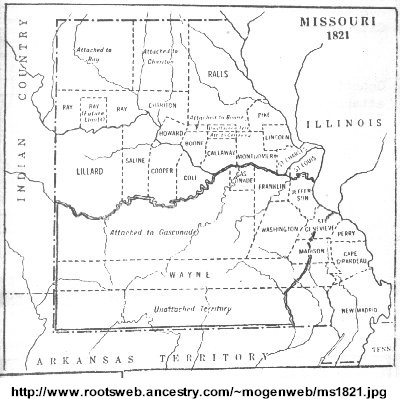 |
1821 | Missouri County Map |
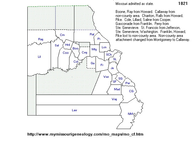 |
1821 | Missouri County Formation Map |
 |
current | |
| MoDot Historic State Maps | ||
| MoDot County Maps | ||
| Sanborn Maps - Missouri Collection | ||
| . | . | |
| Missouri Atlas on Ancestry.com | ||
| . | . | Topozone - Topo Maps & Aerial Photos |
| . | . | |
| . | . | |
| . | . | |
| . | . | |
| . | . |
Ray County Home Page | MoGenWeb | USGenWeb | WorldGenWeb | E-Mail County Coordinator
To add additional information relating to Ray County, Missouri Genealogy, E-Mail the county coordinator.
Last Updated