|
 |
|
|
|
|
#911
County Farm Cemetery Unknown Township |
||
Ray County Cemeteries - Web Page
|
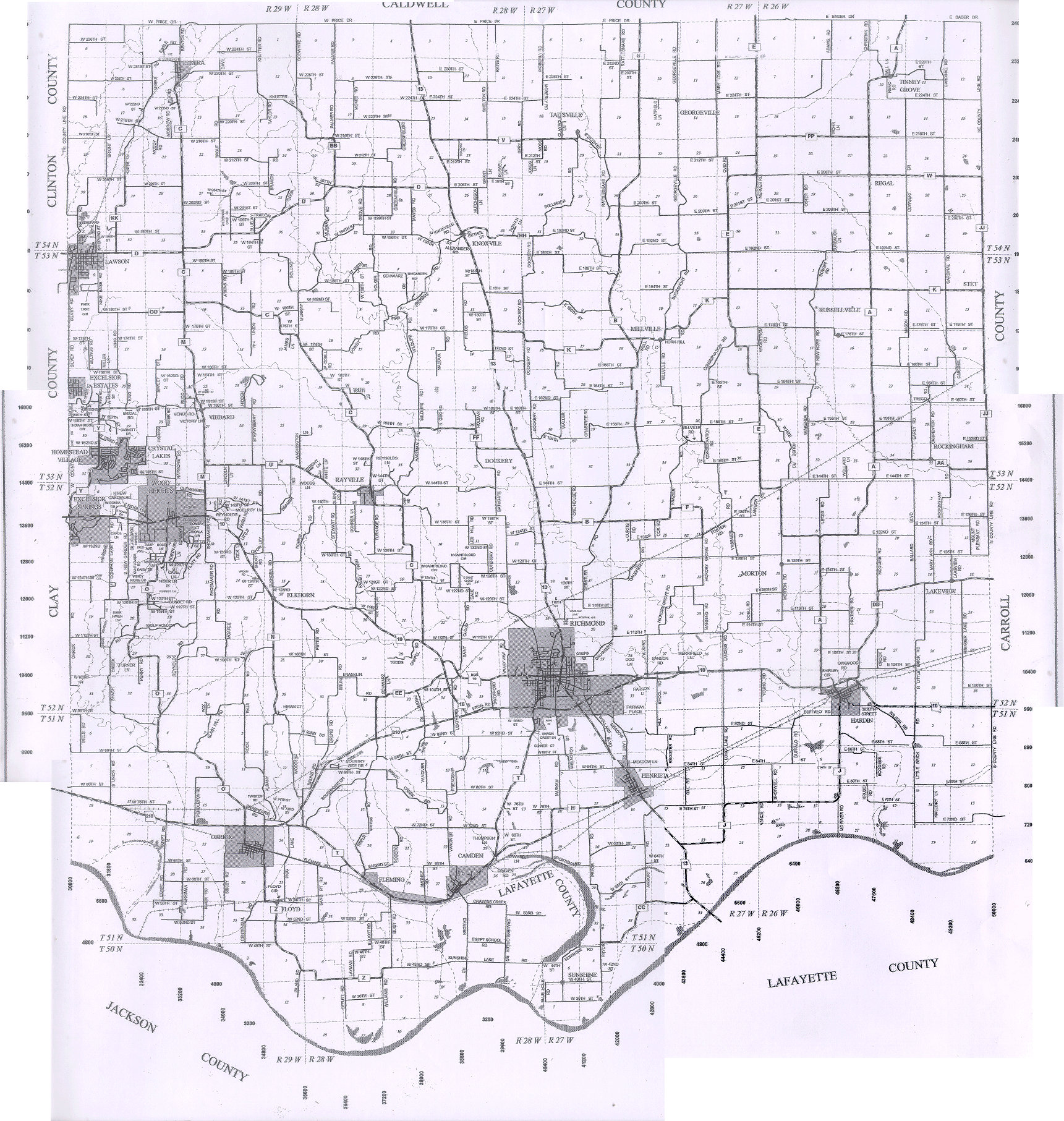
#911 not on UnknownTownship Map |
| County Farm | . | . | . | listed in Thurman Funeral Home Records book
on the 1877 Plat map, a County farm is shown in T52R27S04 Ray County also owned 40 acres of land at the southwest corner of T52R27S14 in 1877 The "old" County Farm is in T52 R27 S4. Not sure exactly where the cemetery would have been IF there was cemetery was in Section 4. Since the county paid for everything they probably did not pay for a tombstone. The county purchased the land in 1855 and the building burned in 1882. We're not sure what the "paupers" did from 1882 until 1910 when the new county farm (The Museum) was built (Ray County Cemetery - aka Potter's Field)
The old poor farm might have had a fire in 1882 but it didn’t burn down and was the county poor farm until the move in date at the new poor farm on May 20, 1910. The old poor farm and land was auctioned off in mid 1910. There was a Potters Field at the first location, I am getting more info on where everything was. Rod |
. |
Transcription:
Ray County Home Page | MoGenWeb | USGenWeb | WorldGenWeb | E-Mail County Coordinator
To add additional information relating to Ray County, Missouri Genealogy, E-Mail the county coordinator.
since November 11, 2006
Last Updated