|
 |
|
|
|
|
#820
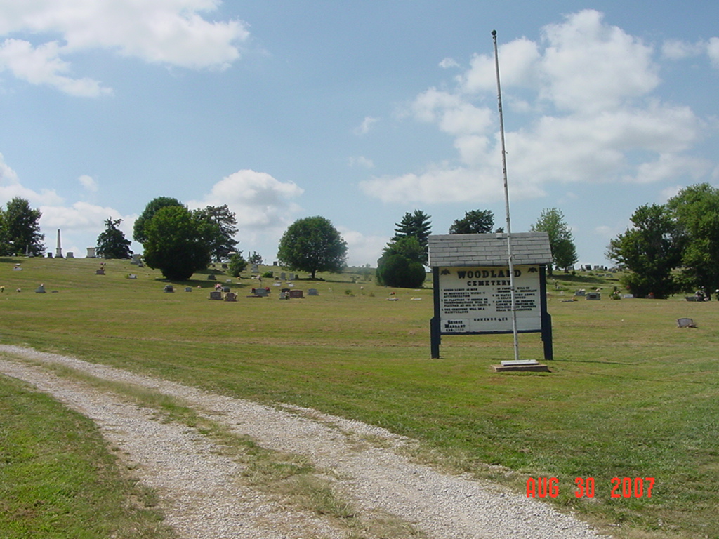
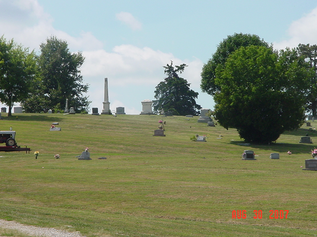
Woodland Cemetery Richmond Township |
||
Ray County Cemeteries - Web Page
|
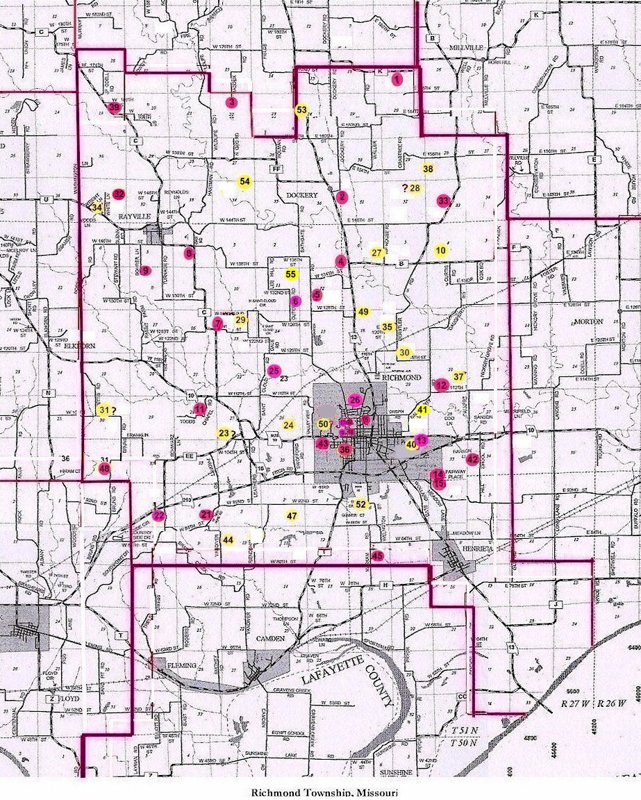
#20 on RichmondTownship Map |
|||
| Woodland Cemetery | in Richmond | Latitude: 39°16'51.00"N Longitude: |
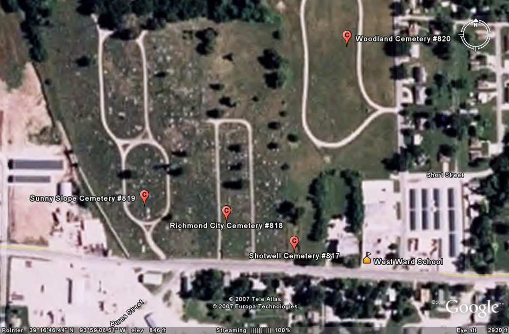
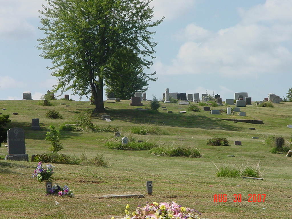
Four cemeteries are immediately adjacent to each other north of Highway 10 in Richmond, Missouri. Sunny Slope Cemetery is located on the west, Richmond City Cemetery next to it on the east, Shotwell Cemetery next to it on the east, and then Woodland Cemetery, the furthest east. This newspaper article discusses the proximity of the four adjoining cemeteries.
Wilson Avenue entrance to Woodland Cemetery is behind old Shotwell School (also known as West Elementary School and which is now an apartment building) This cemetery is privately owned, being established by Allen Hughes and his mother Mrs. Newton Hughes in 1949. It consists of ten acres and originally was the pasture of Jabez Shotwell dating back to 1835. Source: Ray County History 1973, p. 233. |
. | Ray REF 929.3 RAY |
|
Cemeteries boundaries can be confusing to history seekers visiting Richmond
Richmond Daily News February 26, 2009 |
|||||

photo submitted by Jennifer Zunker |
 Wilson Avenue entrance view looking from east to west Woodland Cemetery in foreground Richmond City Cemetery in background |
 Wilson Avenue entrance view looking from east to west Woodland Cemetery in foreground Richmond City Cemetery in background |
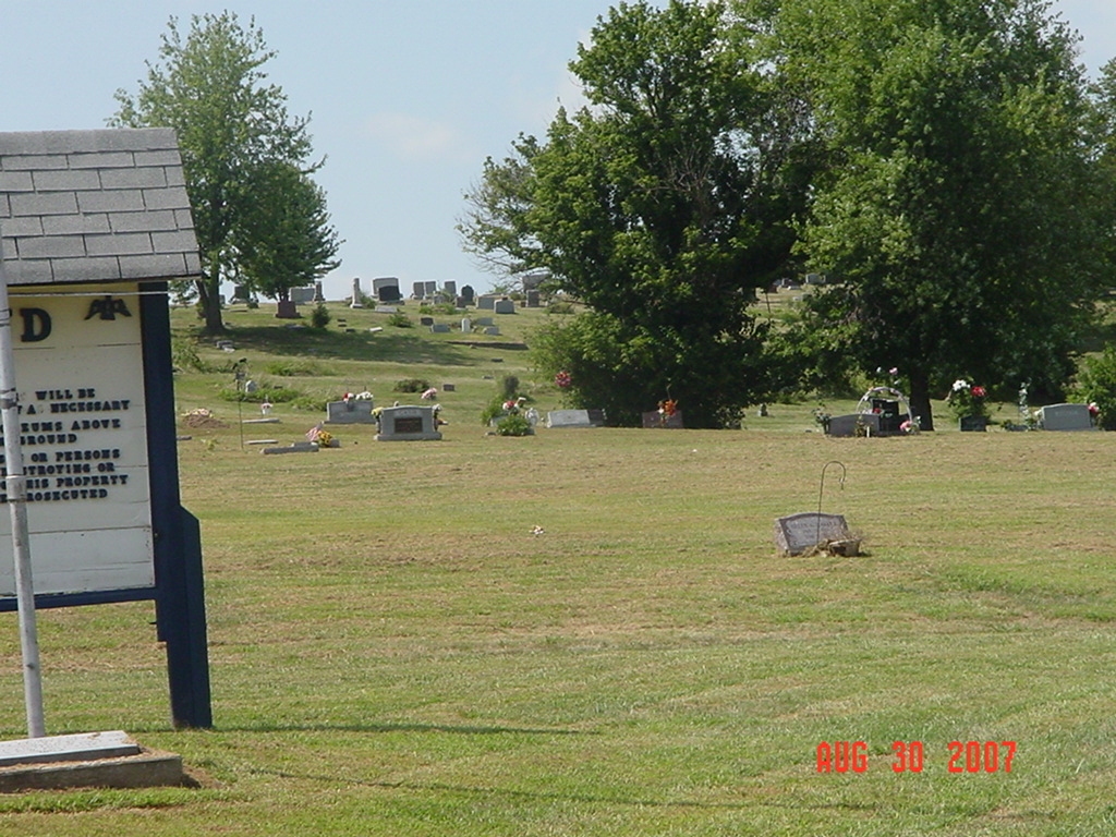 Wilson Avenue entrance view looking from east to west Woodland Cemetery in foreground Richmond City Cemetery in background |
 Wilson Avenue entrance view looking from east to west Woodland Cemetery in foreground Richmond City Cemetery in background |
Transcription:
Ray County Home Page | MoGenWeb | USGenWeb | WorldGenWeb | E-Mail County Coordinator
To add additional information relating to Ray County, Missouri Genealogy, E-Mail the county coordinator.
since November 11, 2006
Last Updated