 |
 |
|
|
|
|
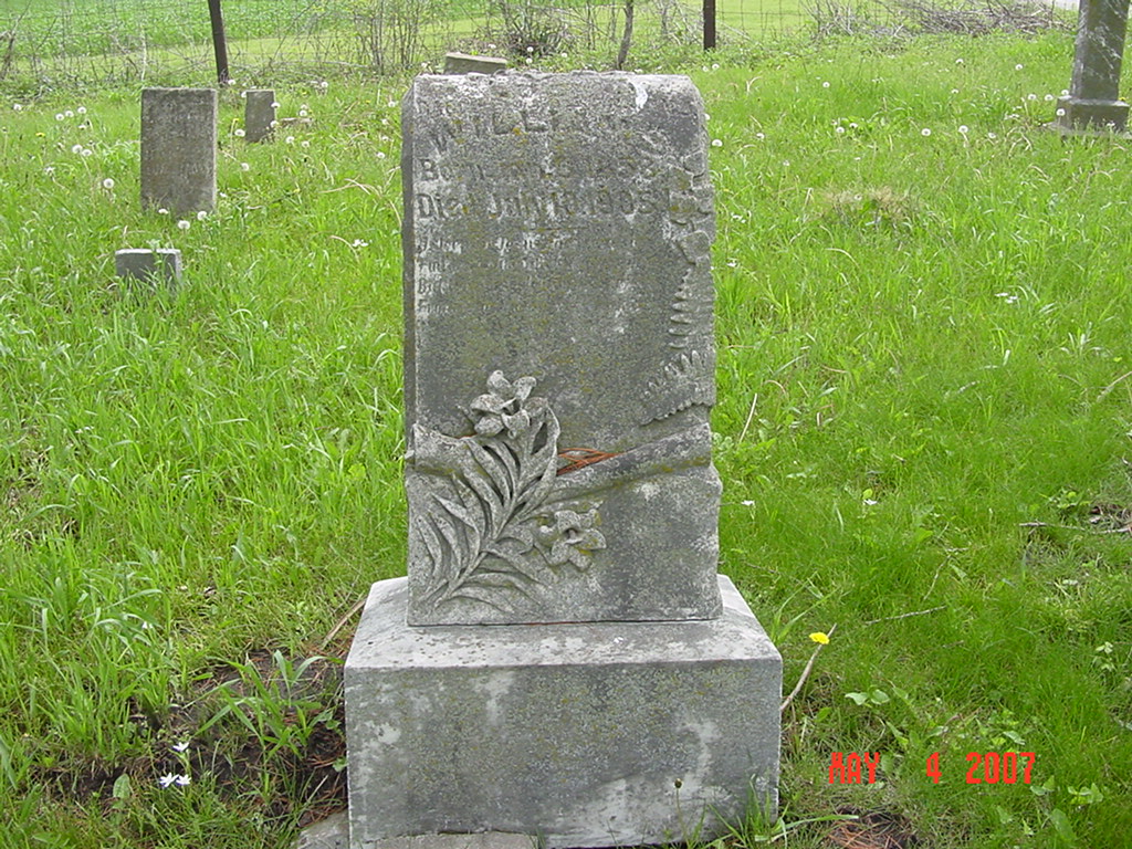
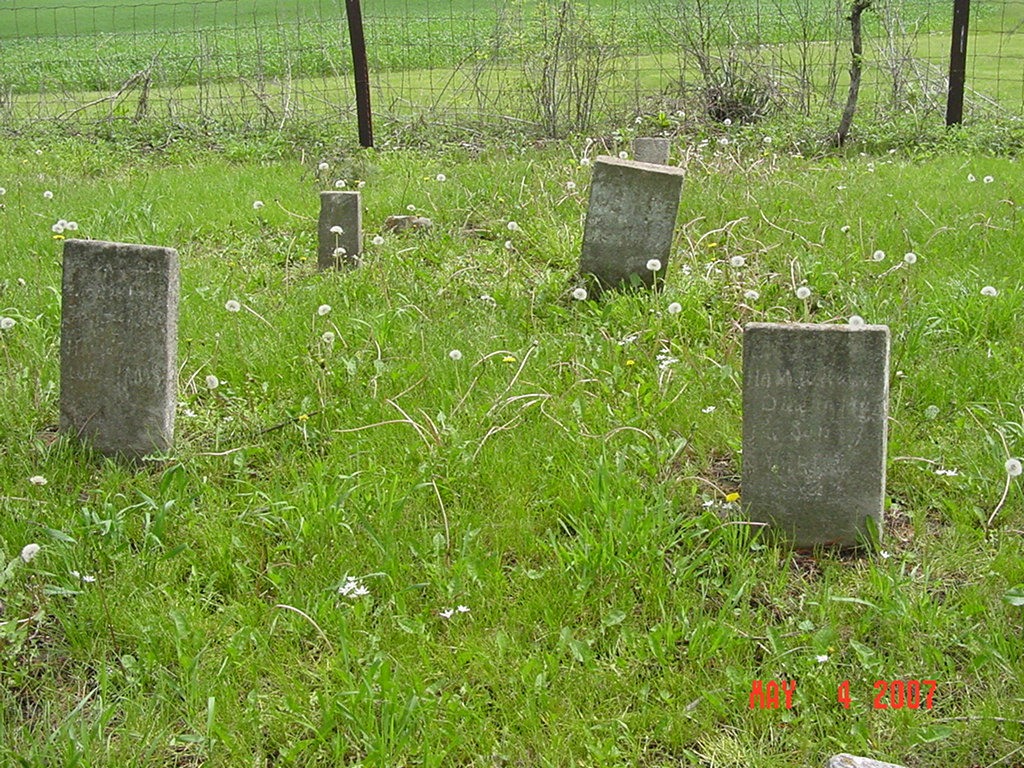
#807
Major Williams Cemetery Richmond Township |
||
Ray County Cemeteries - Web Page
|
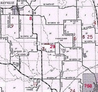
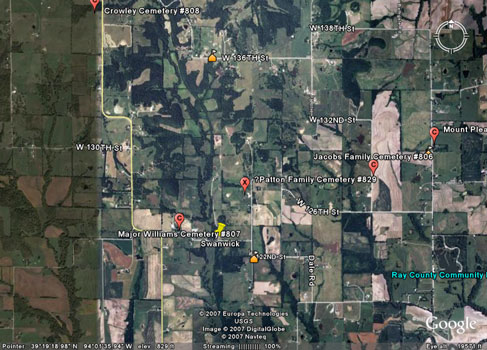
#7 on RichmondTownship Map |
|||
| Major Williams Cemetery
(same as Williams Cemetery) |
#7 on RichmondTownship Map
Rayville |
Latitude: 39°18'55.00"N Longitude: |
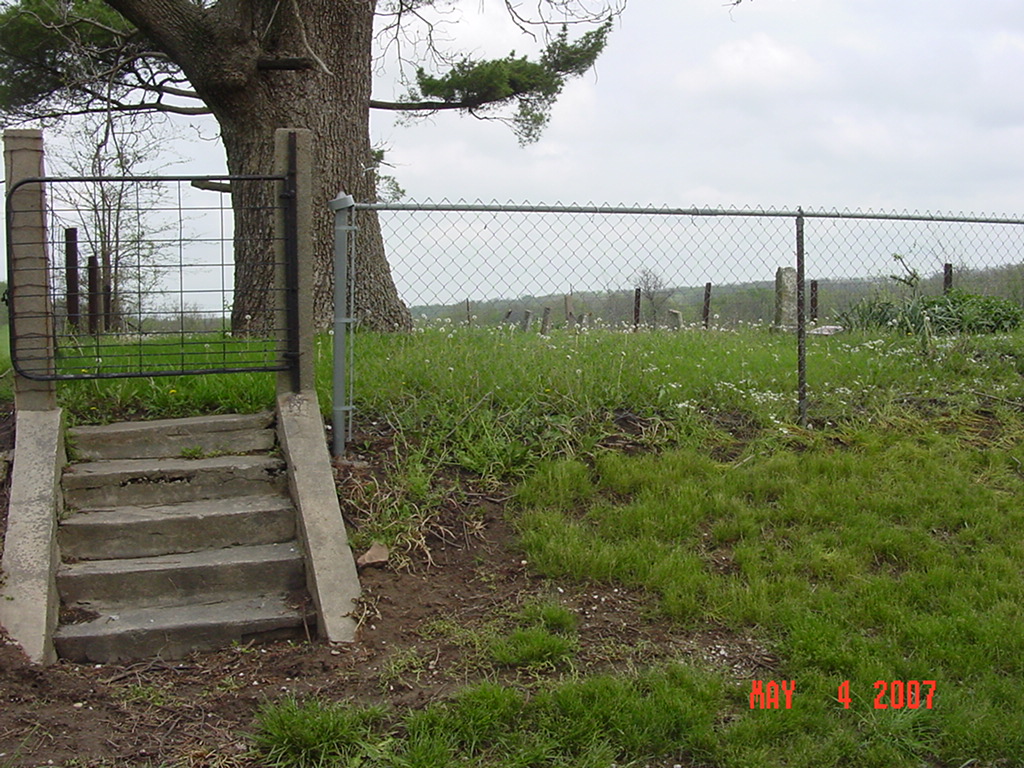
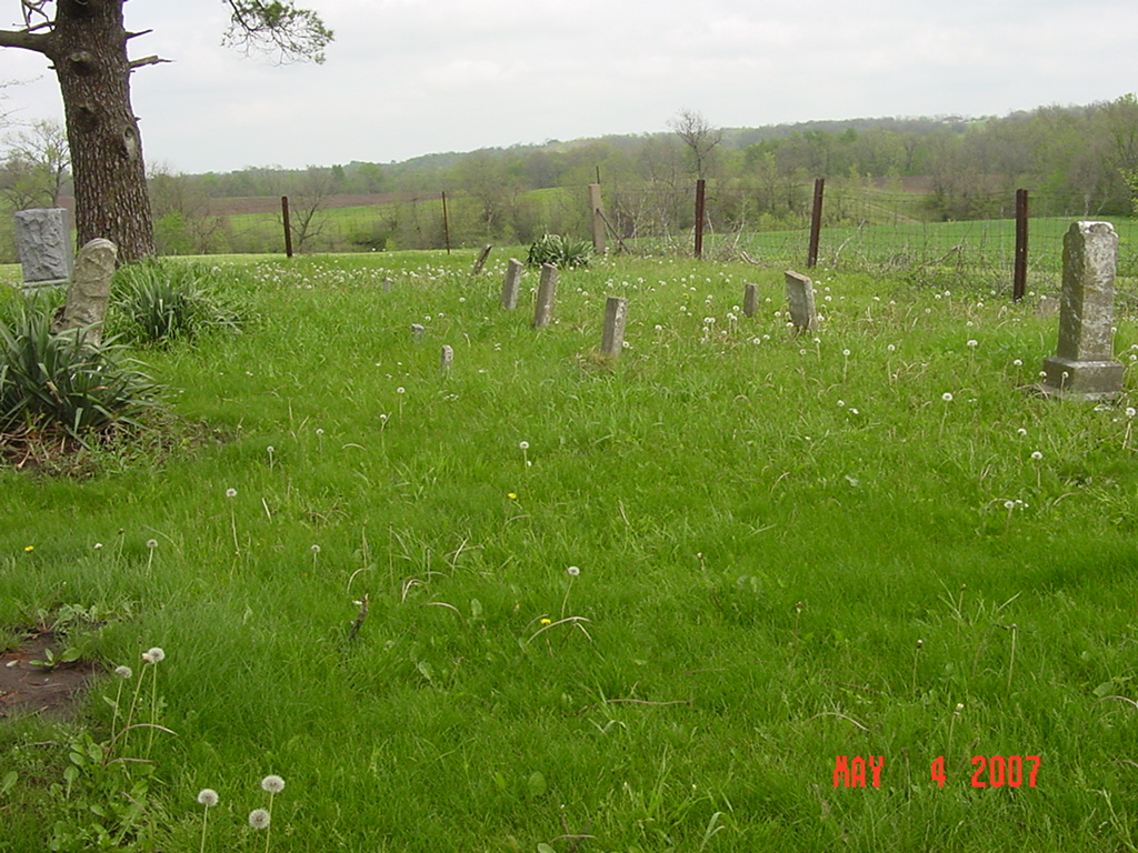
This cemetery is located northwest of Richmond. From 10 Hwy turn north onto C Highway. Drive approximately 1-1/2 miles north on C. As C Hwy turns west, make a right turn onto 124th Street. Drive about 2/10 miles on this gravel road. Cemetery is on the left (north) side of the road. At the site of Swanwick. (For all you local folks that know the area, the Swinging Shed is located just to the east of the cemetery.)
Location 7 on the map, p. 230 of the 1973 History |
Ray REF 929.3 RAY |
|
 |
 |
 |
 |
 |
 |
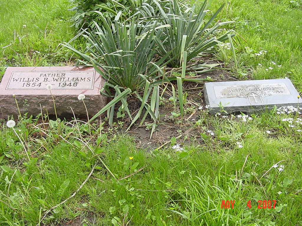
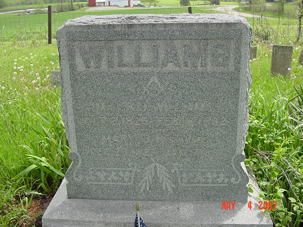
Transcription:
Ray County Home Page | MoGenWeb | USGenWeb | WorldGenWeb | E-Mail County Coordinator
To add additional information relating to Ray County, Missouri Genealogy, E-Mail the county coordinator.
since November 11, 2006
Last Updated