|
 |
|
|
|
|
#809
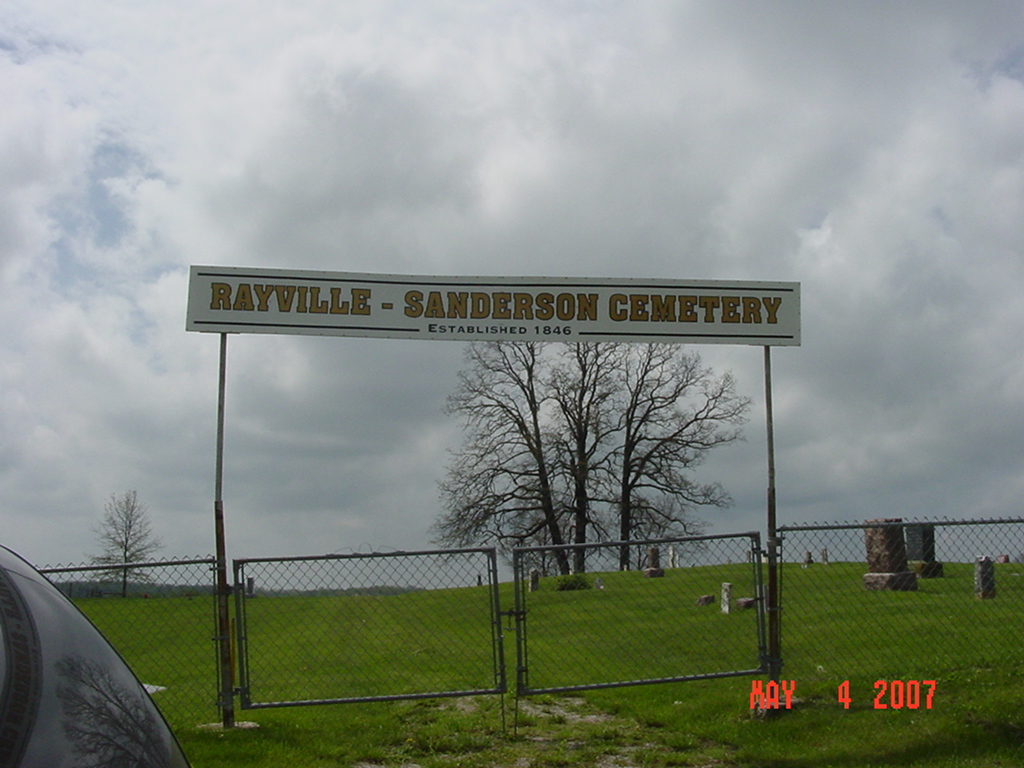
Rayville - Sanderson Cemetery Richmond Township |
||
Ray County Cemeteries - Web Page
|
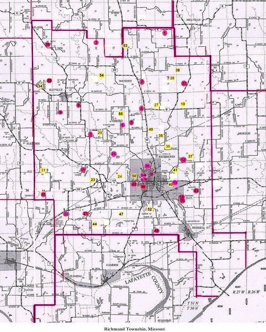
#9 on RichmondTownship Map |
 |
||
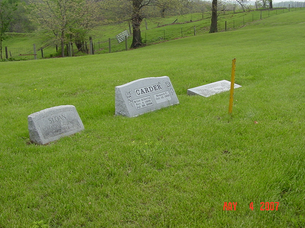
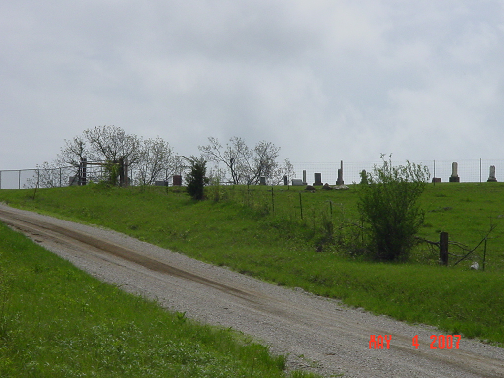
| Rayville-Sanderson Cemetery |
#9 on RichmondTownship Map |
Latitude: 39°19'60.00"N Longitude: |
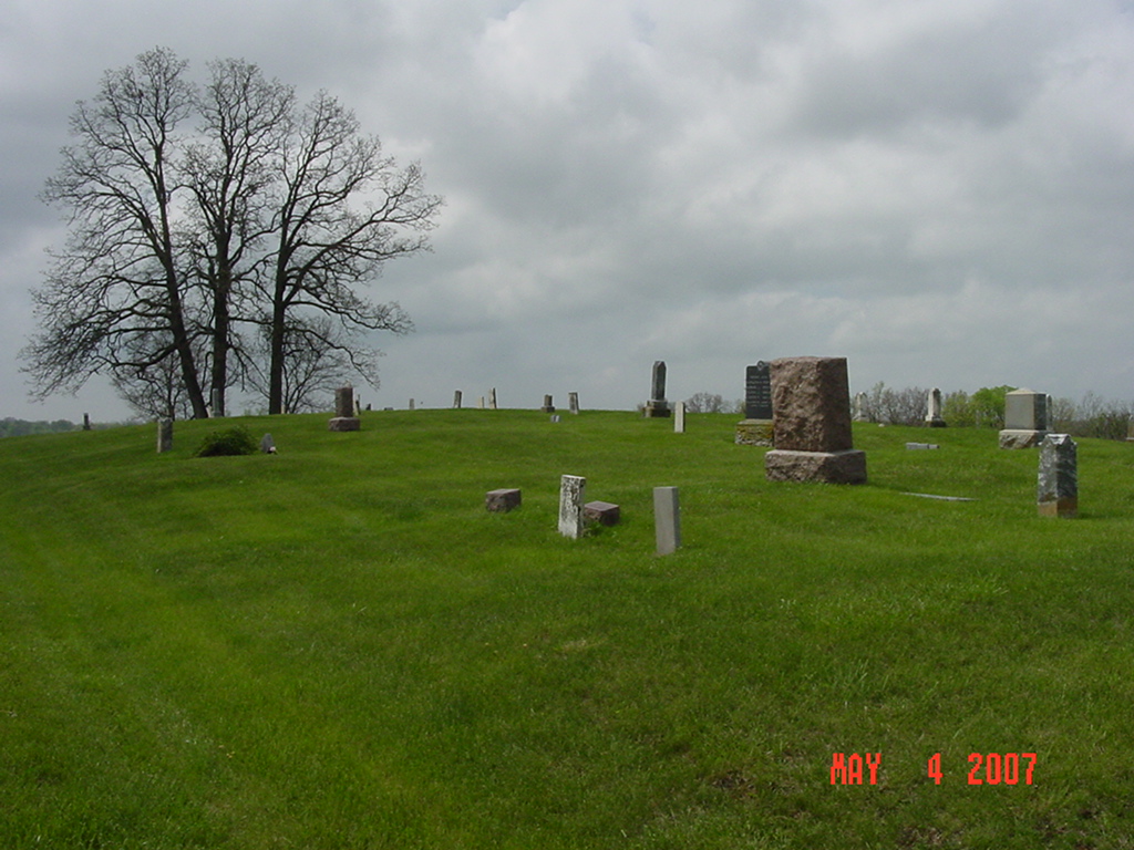
Established in 1846. Well maintained cemetery.
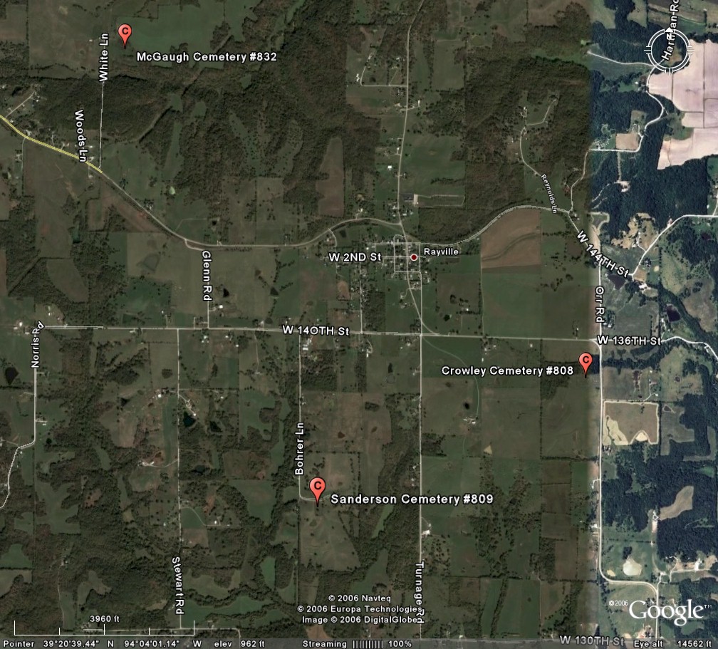
southwest of Rayville From C Hwy at Rayville, turn west on 140th Street, turn south on Bohrer Lane, travel about 7/10 mile and Bohrer Lane turns east. Cemetery is on the right (south) side of the road on top of the hill. |
. | Ray REF 929.3 RAY |

photo submitted by Jennifer Zunker |
 |
 |
 |
 |
 |
Transcription:
Ray County Home Page | MoGenWeb | USGenWeb | WorldGenWeb | E-Mail County Coordinator
To add additional information relating to Ray County, Missouri Genealogy, E-Mail the county coordinator.
since November 11, 2006
Last Updated