|
 |
|
|
|
|
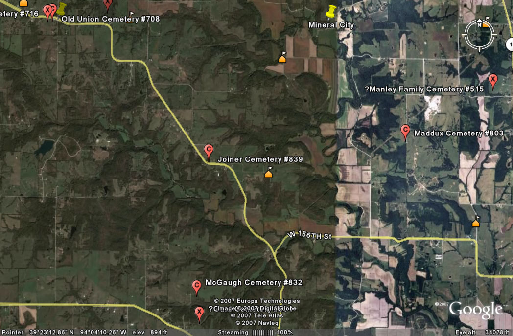
#839
Joiner Cemetery Richmond Township |
||
Ray County Cemeteries - Web Page
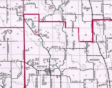
#39 on Richmond Township Map |
|
|
||
| Joiner Family Cemetery | Latitude: 39°23'17.58"N Longitude: |
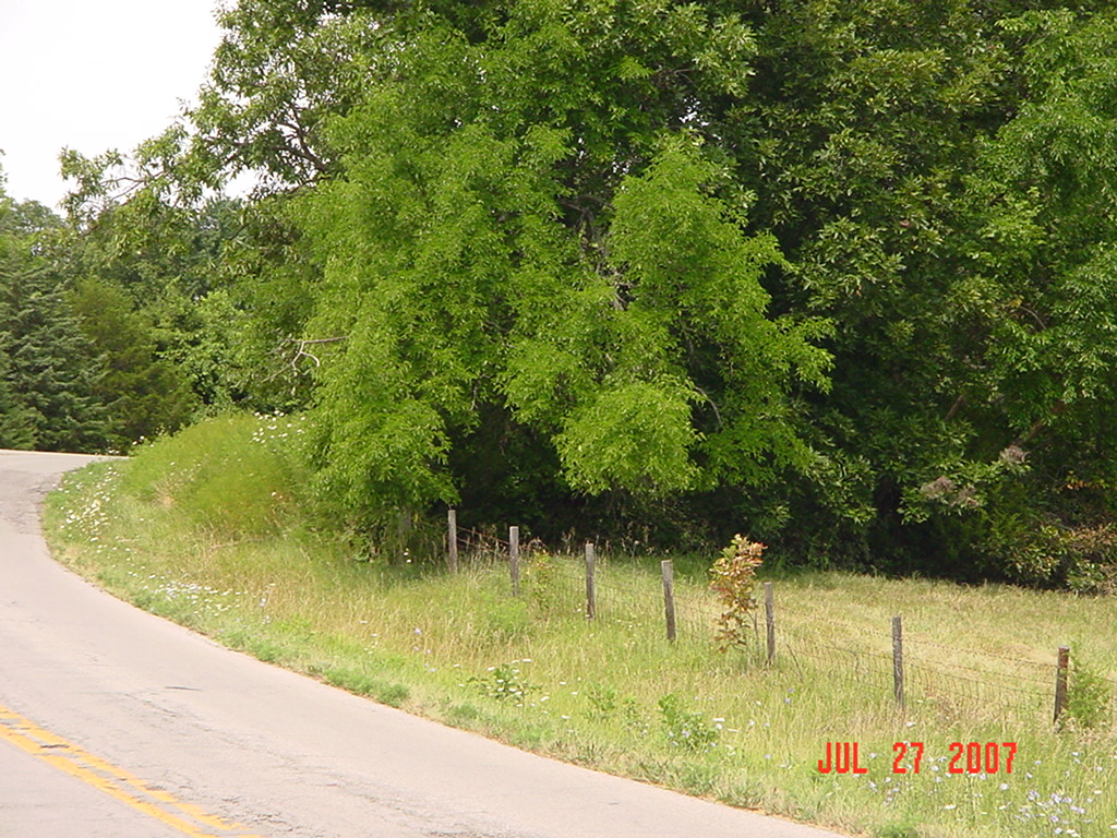
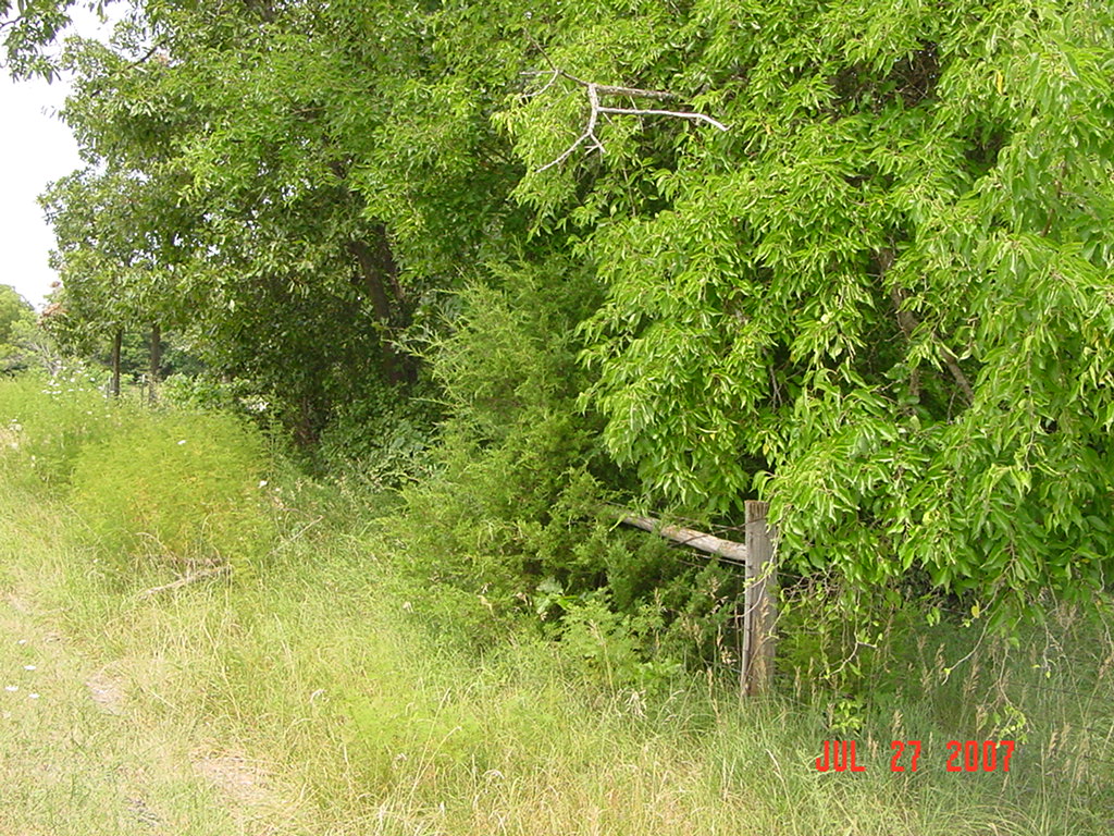
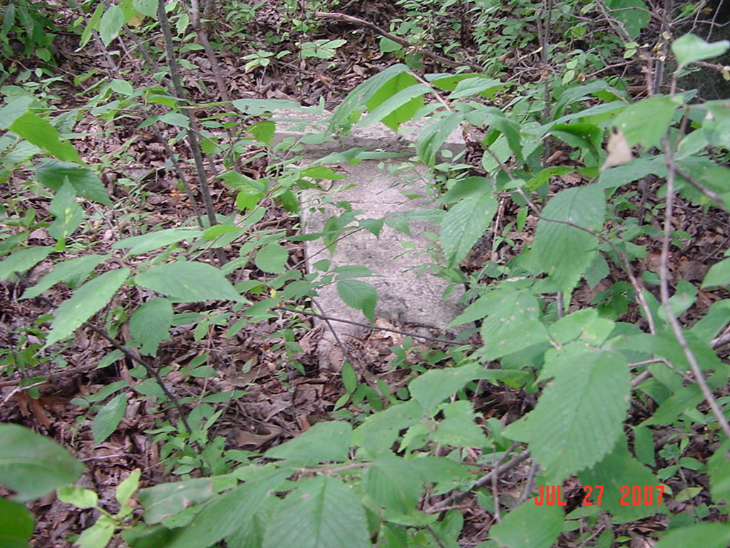
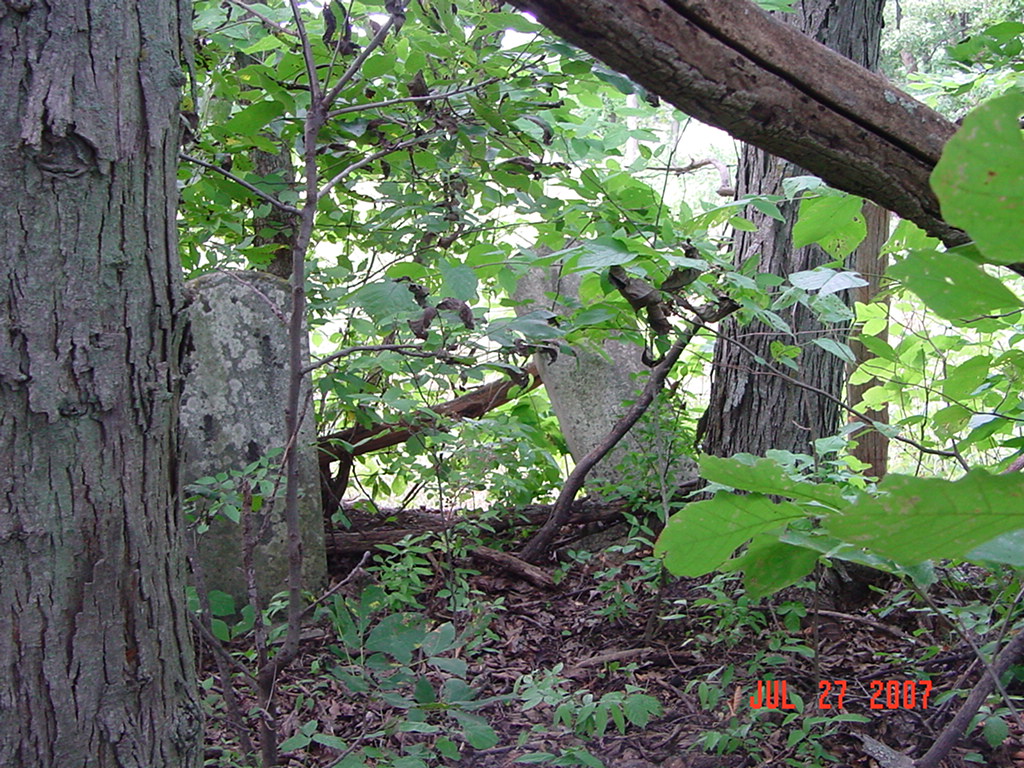
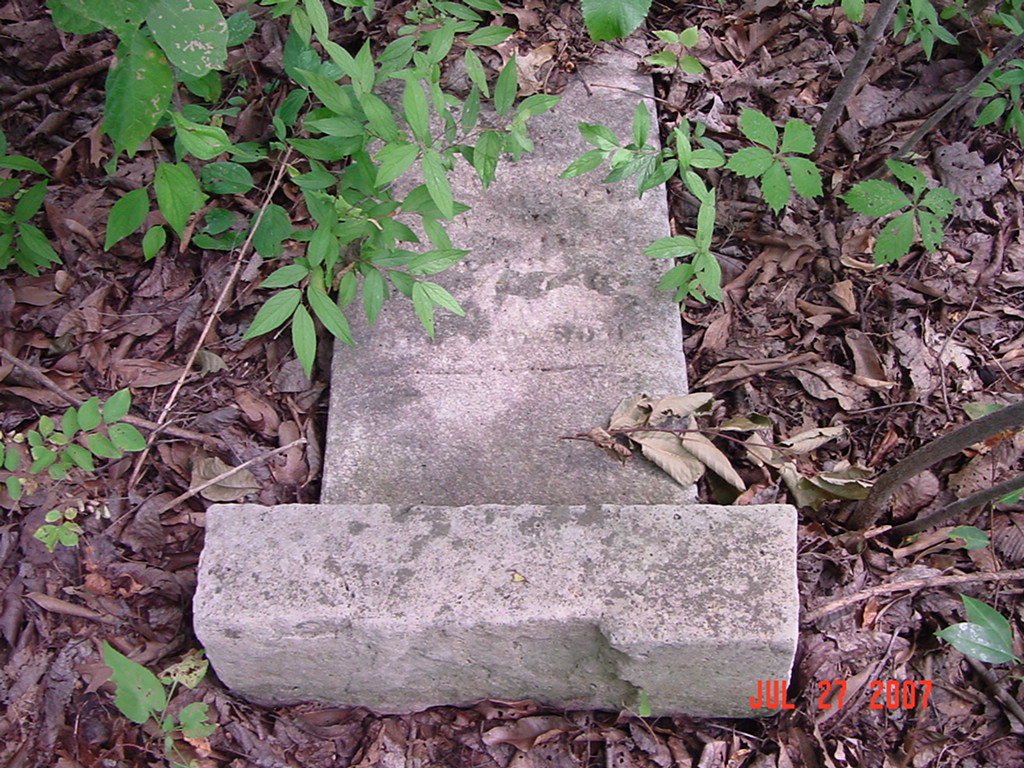
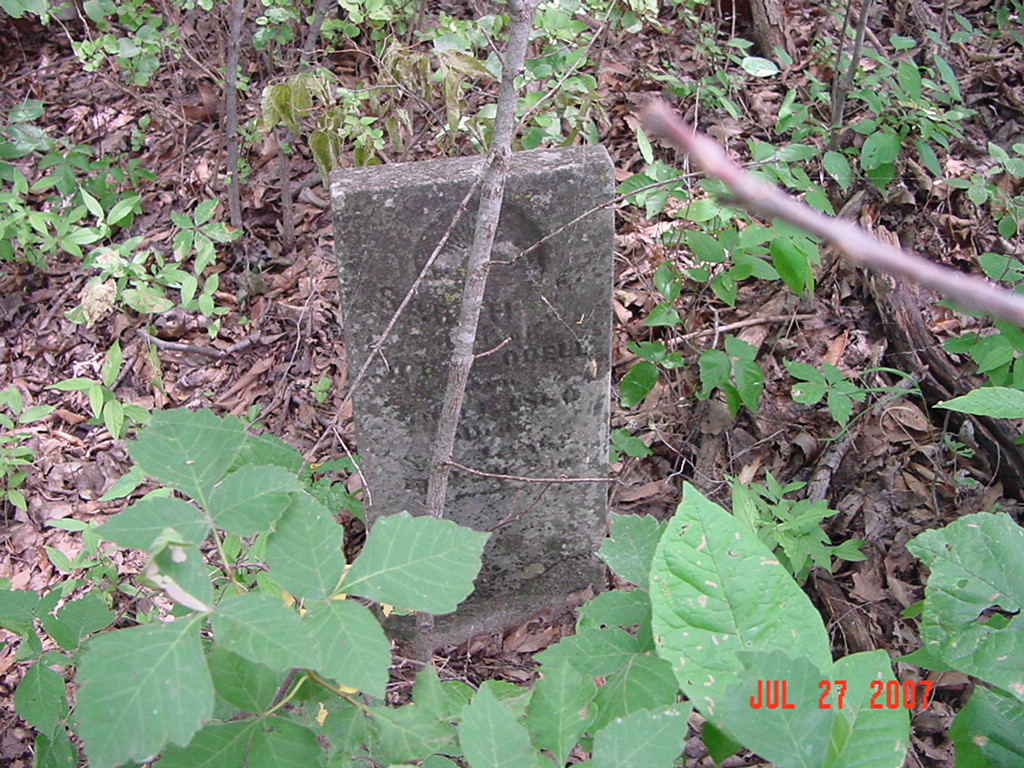
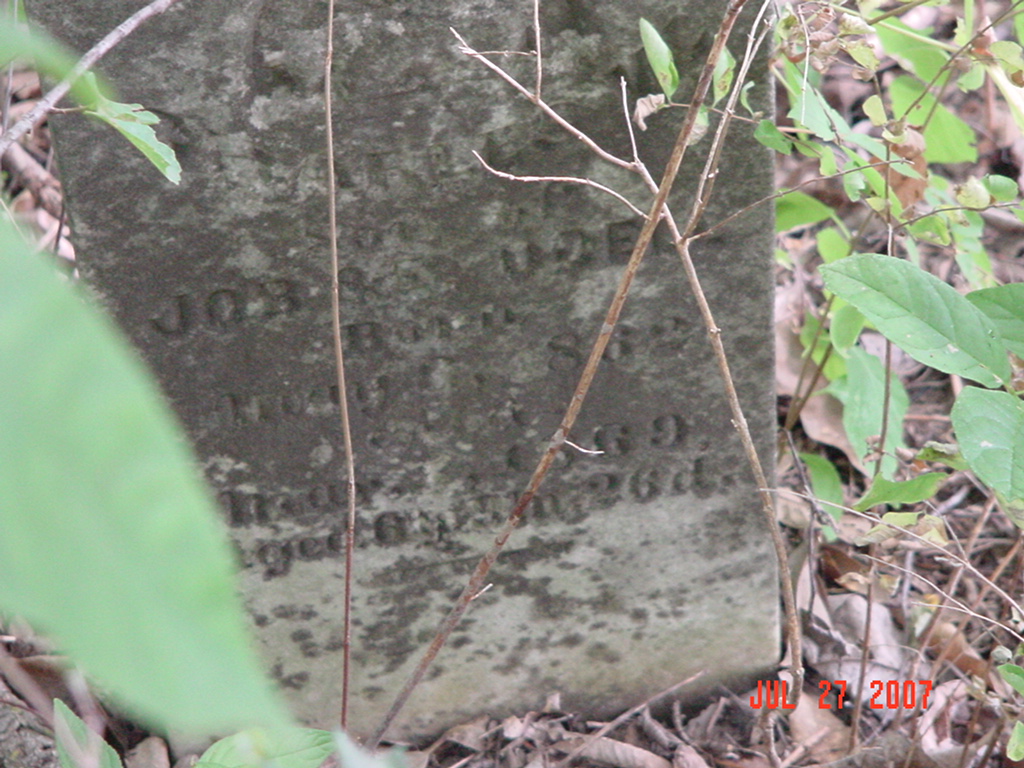
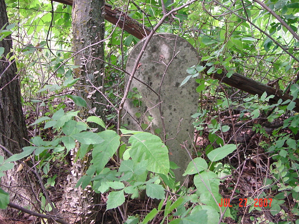
Located at the bend of the road, on the north side of C Hwy where the road goes east and west, between W. 164th and W. 166th Street. The stones are overgrown with vegetation and are in a grove of trees so it's difficult to see from the road.
The rough address: 16445 Highway C, Rayville, MO 64084 This is actually in Richmond Twp DAR Index: located 3 miles northwest of Rayville on Route C, 1/4 mile west of West 164th Street on the north side at the bend in the road Knoxville Township: Township 53, Range 28, Section 7/18 (do not think this is correct for Joiner Cemetery, should be Section 19) #18 on Knoxville Township Map (moved to #39 on Richmond Twp map) #9 on Polk Township Map (moved to #39 on Richmond Twp map) in Polk Township according to the 1973 Ray County History 2005 Ray County Plat book, p. 26, section 19, cemetery shown with no name (this should be Joiner Cemetery) |
. | . | Ray REF 929.3 RAY |
 |
 |
 |
 |
 |
 |
 |
 |
 |
 |
 |
 |
Transcription:
Ray County Home Page | MoGenWeb | USGenWeb | WorldGenWeb | E-Mail County Coordinator
To add additional information relating to Ray County, Missouri Genealogy, E-Mail the county coordinator.
since November 11, 2006
Last Updated