|
 |
|
|
|
|
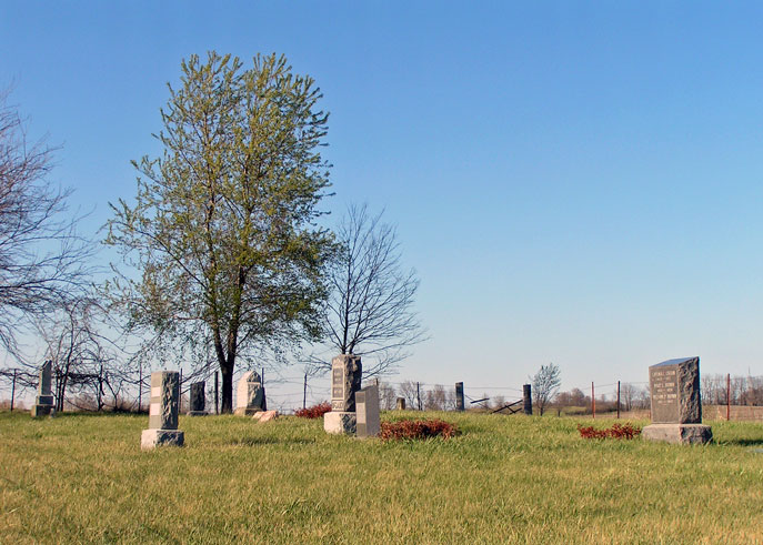
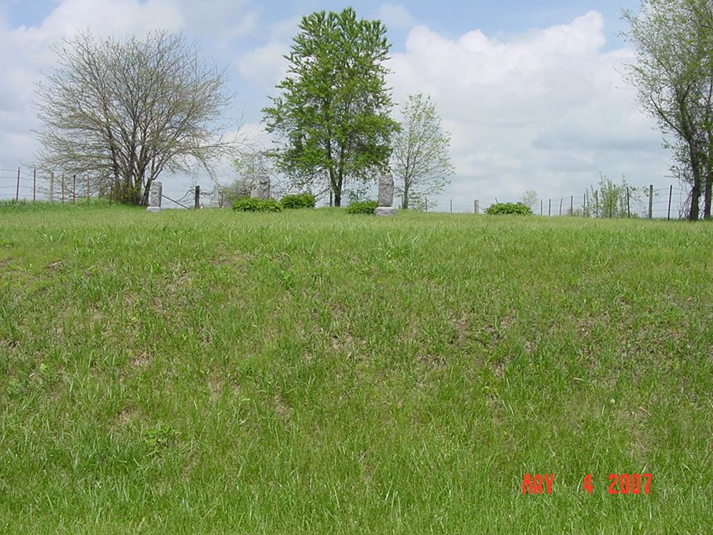
#812
Hill Cemetery Richmond Township |
||
Ray County Cemeteries - Web Page
|
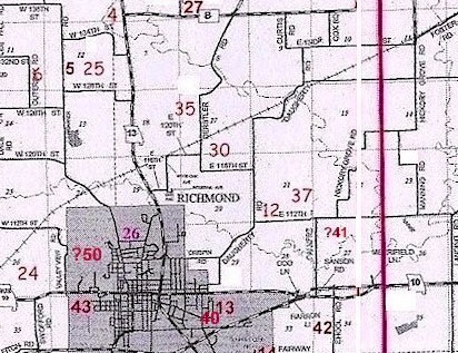
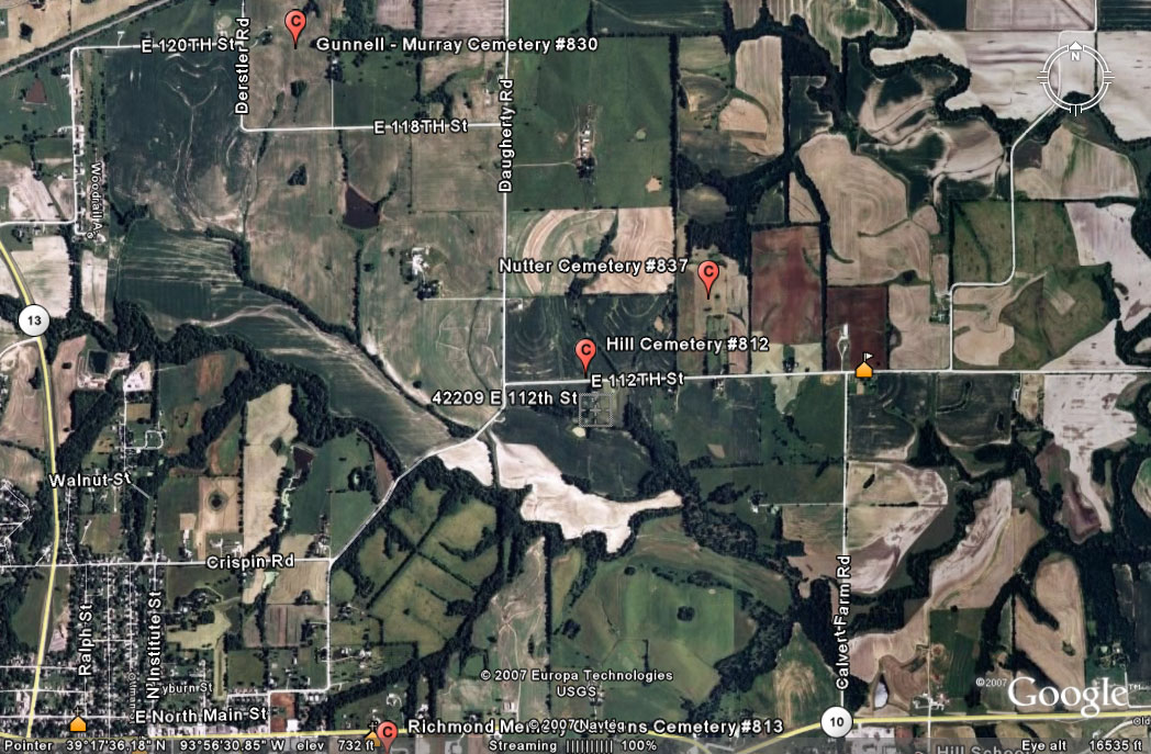
#12 on RichmondTownship Map |
 |
||
| Hill Cemetery |
#12 on RichmondTownship Map |
Latitude: 39°17'36.00"N
Longitude: T52R27S21 |
From 13 Highway north or Richmond, turn east onto Crispin Street. Crispin Street become Crispin Road. Turn left (northeast) onto Daughtery Road. Drive about 3/4 miles. Turn right (east) onto E. 112th Street. Drive about 1/4 mile. Cemetery is on the left (north) side of the road just northeast of a house that sits on the south side of the road. Cemetery is well maintained. [Ancestry.com says that Hill Cemetery is next to Watkins Cemetery; that is NOT true, that was the description for the previous cemetery that they had listed.] |
compiled by Elizabeth Prather Ellsberry, Juliette L. Smith and Mrs. Carlton Richardson
v. 4. Hill, Hudgeons, Mason, Murray-Anderson, Old City, Richmond, Watkins cemeteries |
FHL 977.819 V3e v. 3-4
Ray REF 929.3 RAY |
|
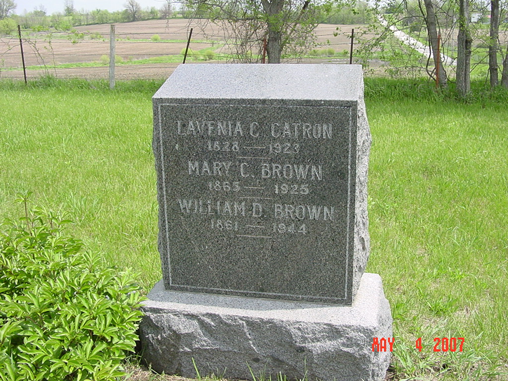
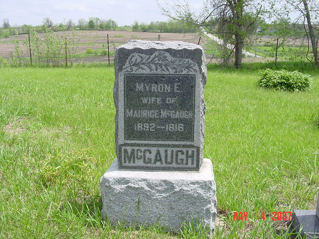
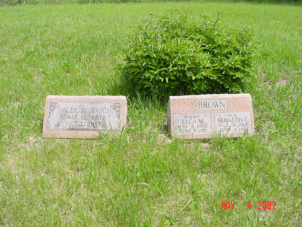
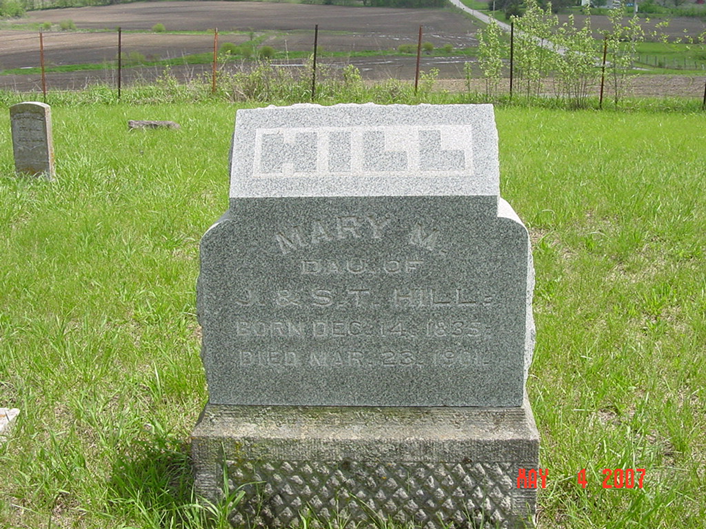
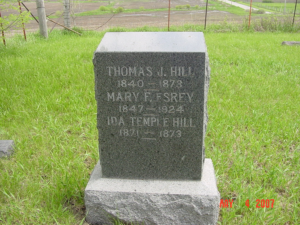
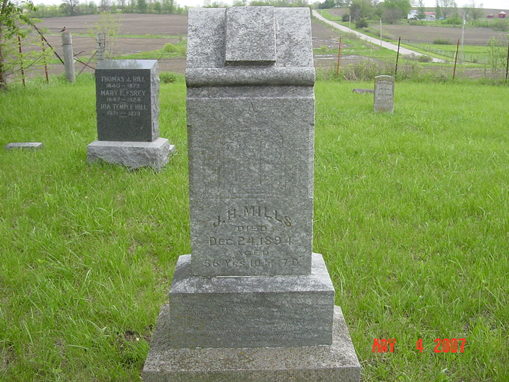
photo submitted by Jennifer Zunker |
 |
 |
 |
 |
 |
 |
 |
 |
Transcription:
Ray County Home Page | MoGenWeb | USGenWeb | WorldGenWeb | E-Mail County Coordinator
To add additional information relating to Ray County, Missouri Genealogy, E-Mail the county coordinator.
since November 11, 2006
Last Updated