|
 |
|
|
|
|
#710
Absolem McDonald Family Cemetery Polk Township |
||
Ray County Cemeteries - Web Page
|
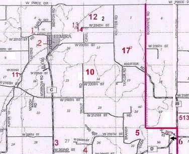
#10 on Polk Township Map |
 |
||
| Absolem McDonald Family Cemetery |
#10 on Polk Township Map |
Latitude: 39°29'35.45"N Longitude: |
Big Black Cemetery Binder at Ray County Library: Located on Eric Lewis Farm- Go 3 miles East from Lawson, MO. on D Highway to C, turn left on C and go 3 miles north , turn East or right and go 1 mile, turn left or North and go past turn off road to top of hill by old barn- park and walk East to next hill- cemetery is fenced- In 1877, this property was owned by A. McDonald.
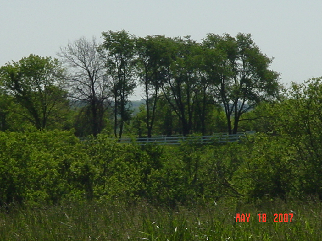
From Lawson, go 3 miles east on D Highway. Turn north (left) on C Highway. Go 3 miles north. Turn east (right) on W. 216th Street. Go 1 mile. Turn north (left) on Trout Road. Go past 220th Street. Cemetery if located east of Trout Road and is barely visible from the road. Gate is locked. Park and walk east to next hill. Cemetery has a white vinyl fence around it. Ray County Library (big black cemetery binder): cemetery aka Dixon Cemetery [think this is an error; Dixon was aka for Randolph McDonald Cemetery] |
transcription online
Genealogy Trails Transcription online FHL microfiche # 6093823 |
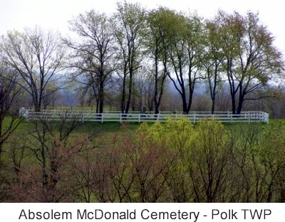
photo submitted by Jennifer Zunker |
 |
Transcription:
Ray County Home Page | MoGenWeb | USGenWeb | WorldGenWeb | E-Mail County Coordinator
To add additional information relating to Ray County, Missouri Genealogy, E-Mail the county coordinator.
since November 11, 2006
Last Updated