|
 |
|
|
|
|
#704
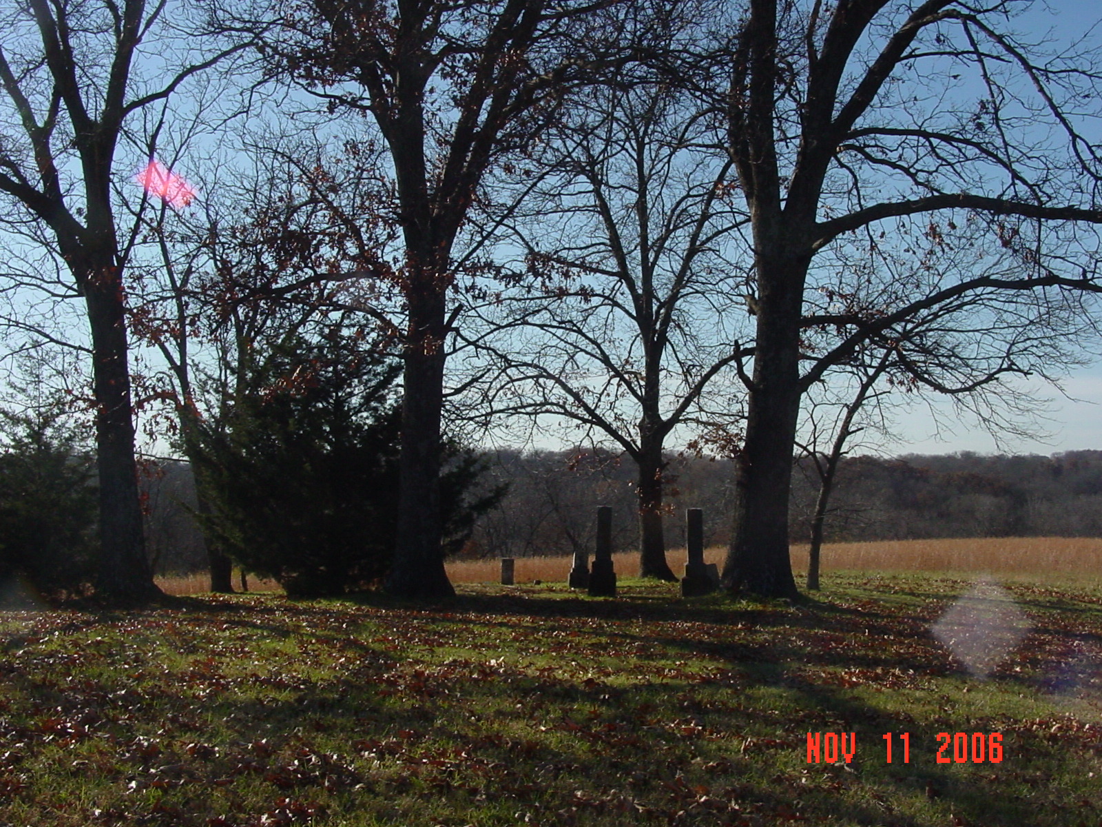
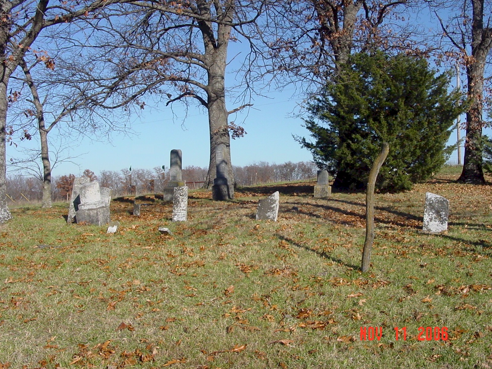
Hyder Cemetery Polk Township |
||
Ray County Cemeteries - Web Page
|
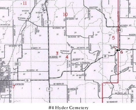
#4 on Polk Township Map |
 |
||
| Hyder Cemetery |
#4 on Polk Township Map |
Latitude: 39°27'20.69"N
Longitude: 94° 7'51.74"W |
From "D" highway turn north on Wilderness Camp Road. Travel north for about a mile. Cemetery is on the west side of the road. It is a small well maintained cemetery.. | Ray REF 929.3 RAY | Genealogy Trails Transcription online |
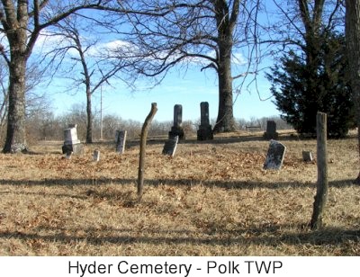
photo submitted by Jennifer Zunker |
||
 |
 |
 |
Transcription:
Ray County Home Page | MoGenWeb | USGenWeb | WorldGenWeb | E-Mail County Coordinator
To add additional information relating to Ray County, Missouri Genealogy, E-Mail the county coordinator.
since November 11, 2006
Last Updated