|
 |
|
|
|
|
#601
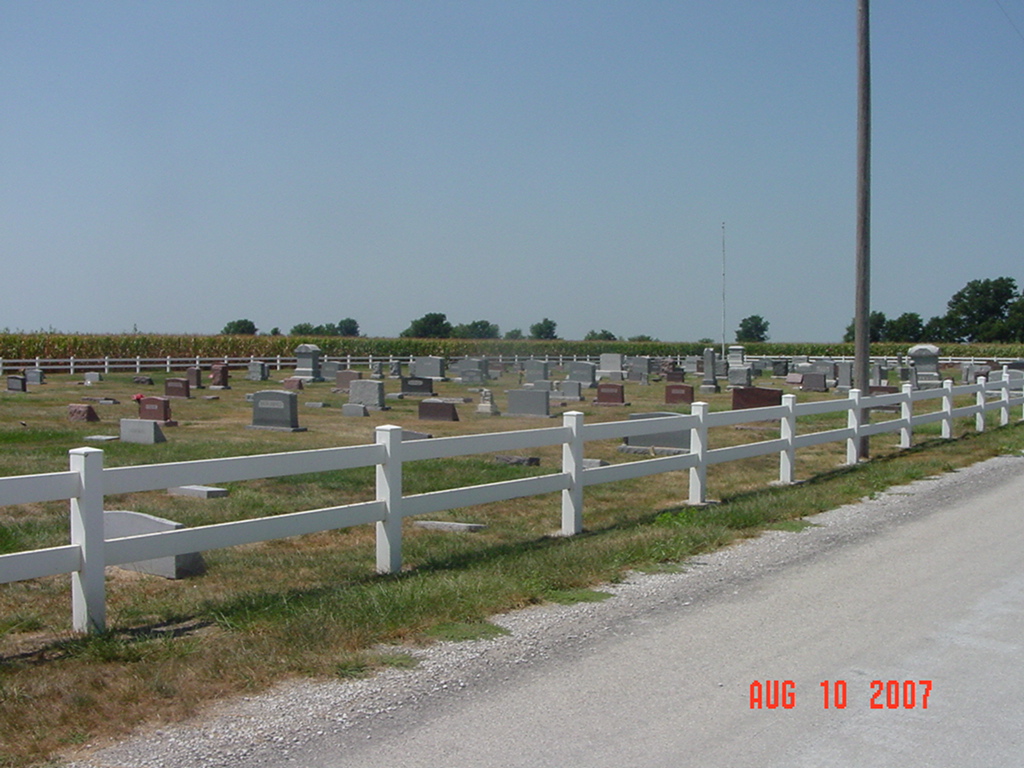
Union Baptist Cemetery Orrick Township |
||
Ray County Cemeteries - Web Page
|
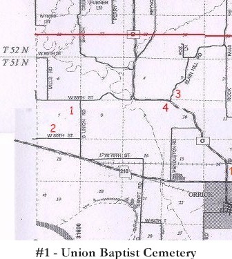
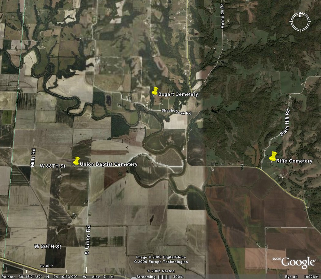
#1 on Orrick Township Map |
 |
||
| Union Baptist Cemetery |
#1 on Orrick Township Map |
Latitude: 39°15'0.00"N Longitude: T51R29S07 |
four miles north of Orrick on "O" Hwy, turn left at iron bridge. Go west to Union Road | Riffe & Union Baptist cemeteries; Joyce Anderson Swearingin; Also on title page: Riffe and Union Baptist cemeteries are both located north of Orrick; 48 leaves. | FHL 977.819 V3r
Ray REF 929.3 RAY |
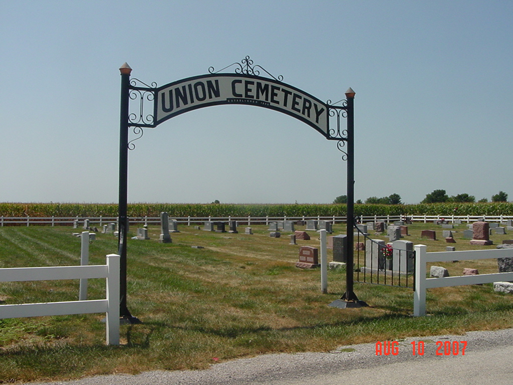 |
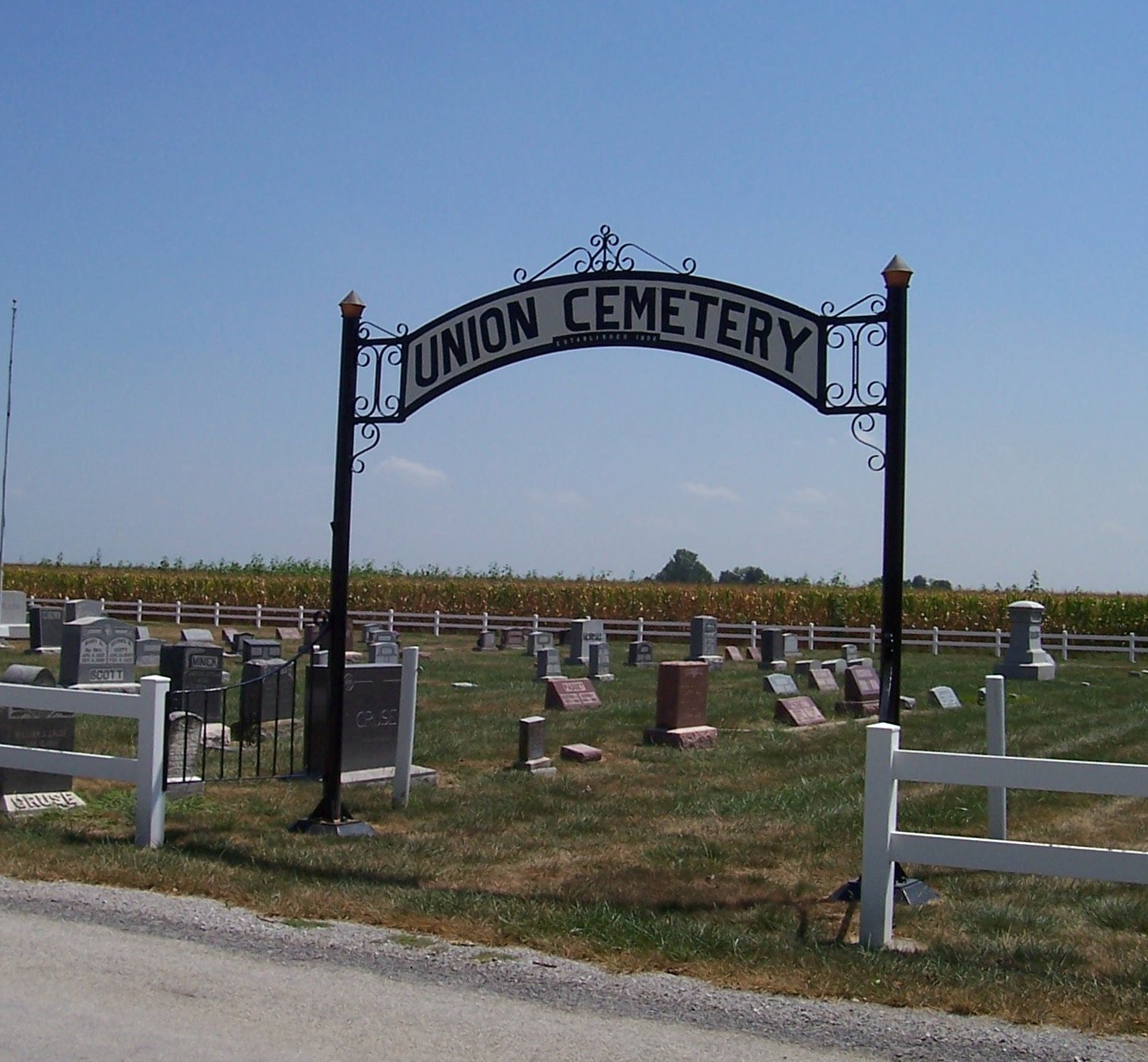
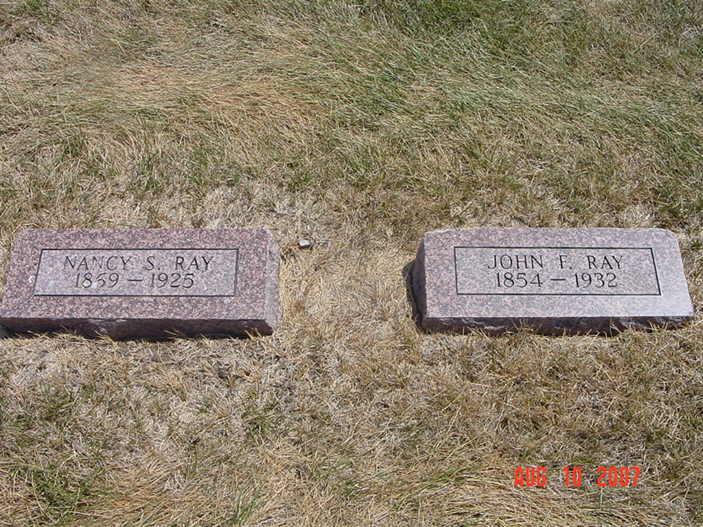
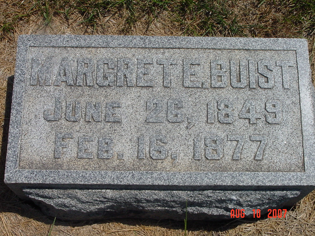
photo contributed by Ron Reid |
 |
 |
 |
 |
 |
 |
 |
 |
 |
 |
 |
 |
 |
 |
. |
 |
 |
 |
 |
 |
|
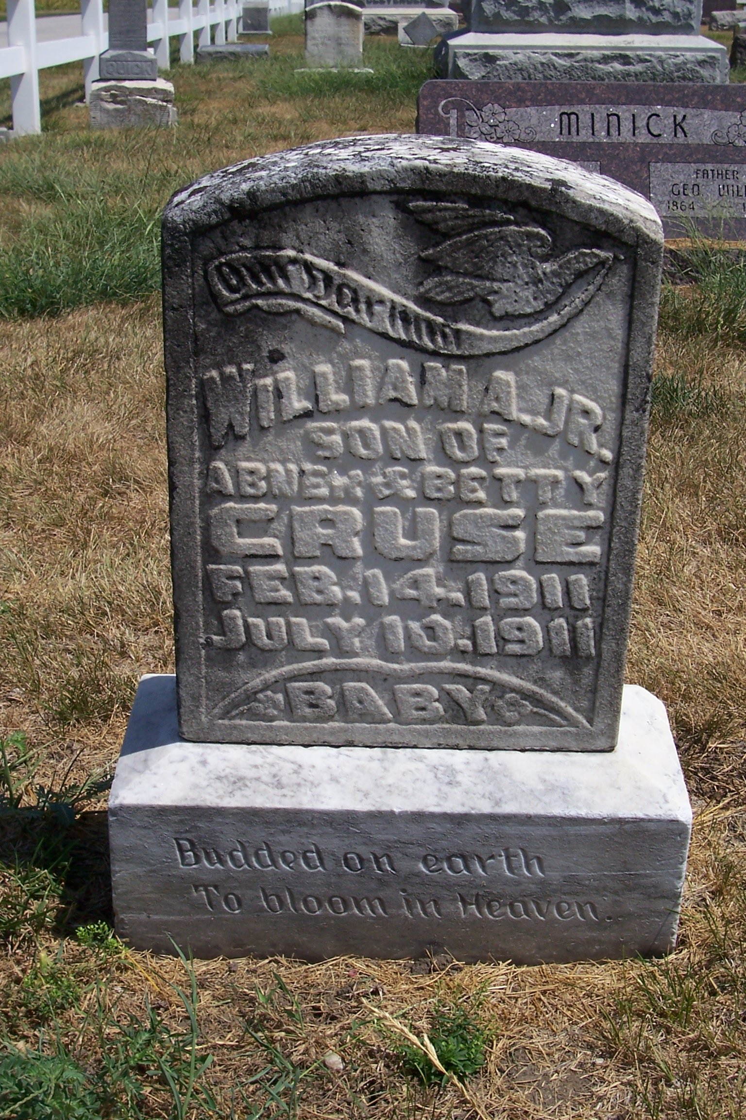
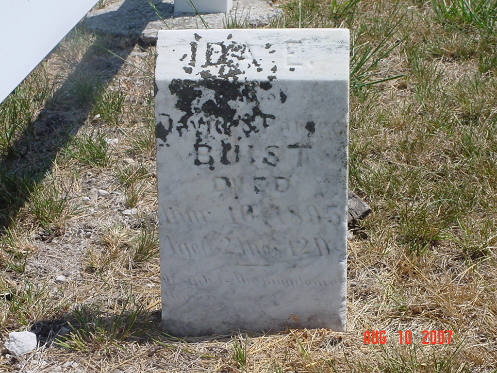
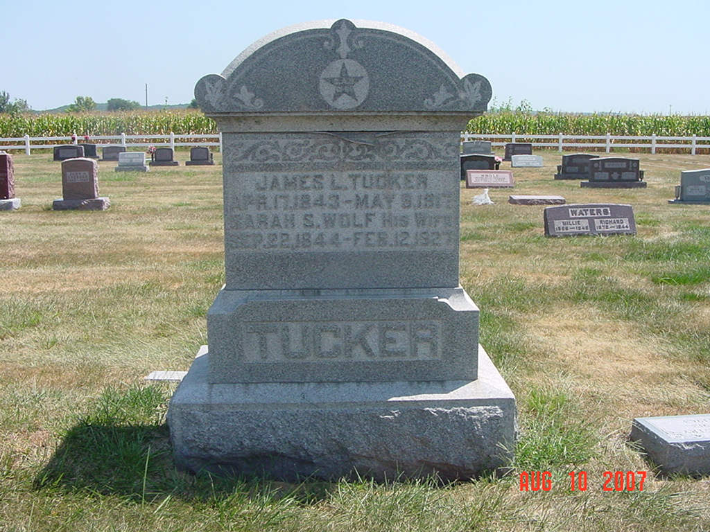
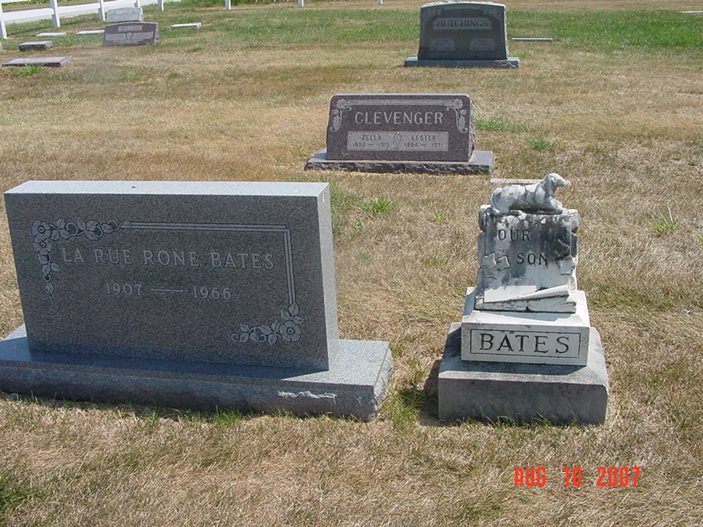
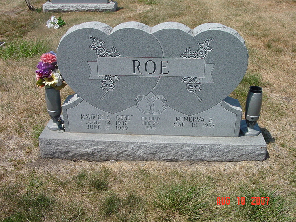
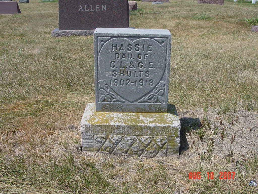
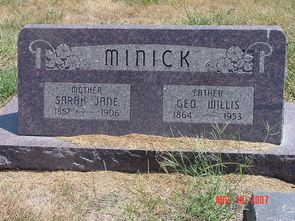
photo contributed by Ron Reid |
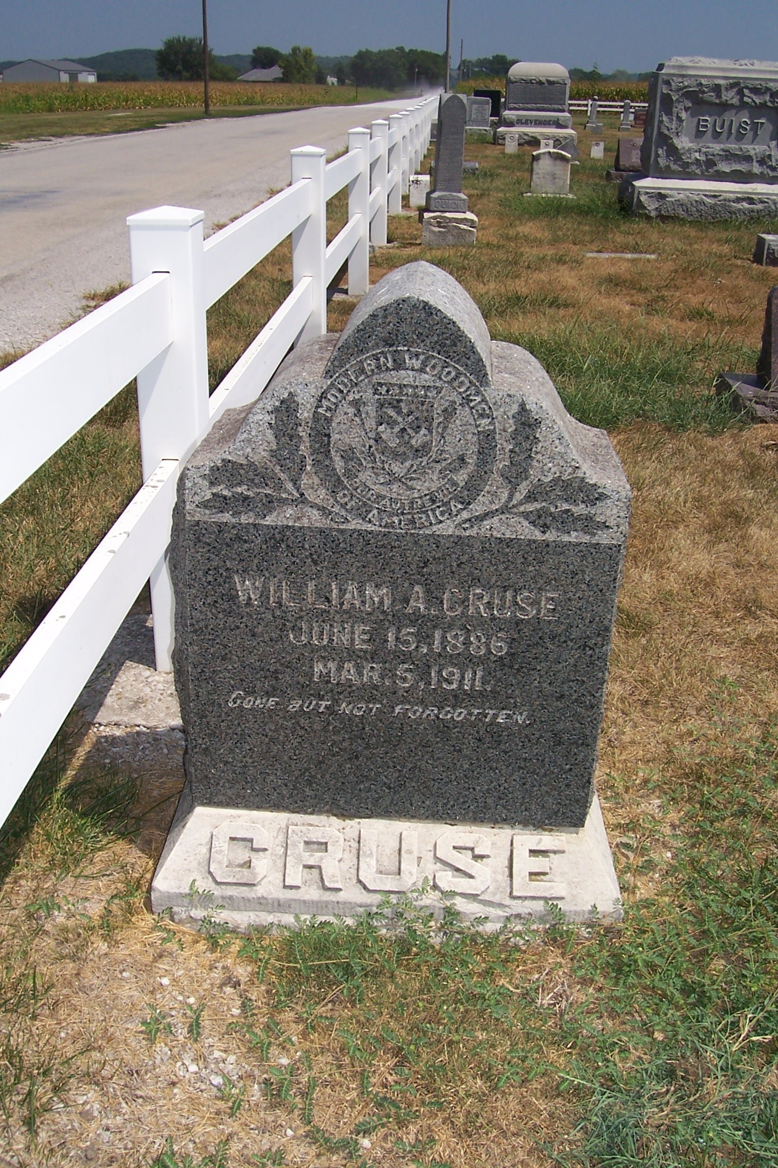
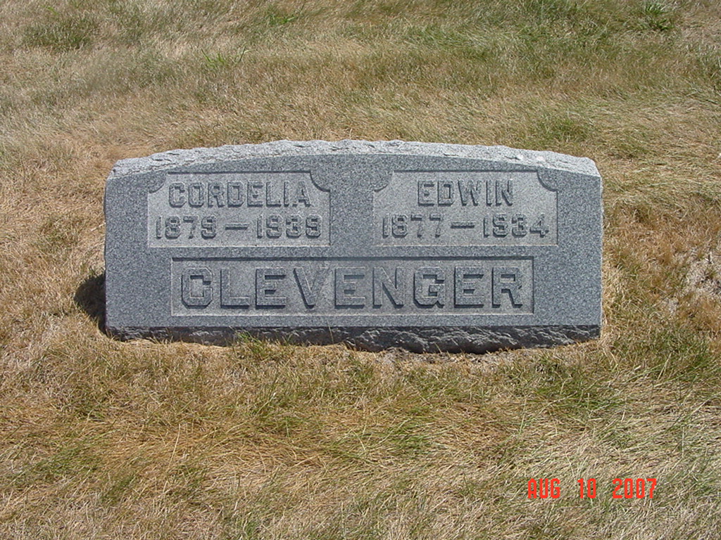
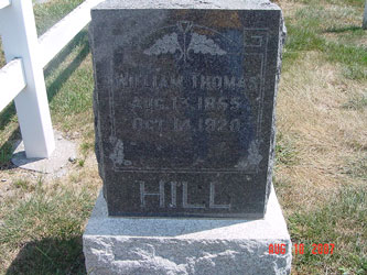
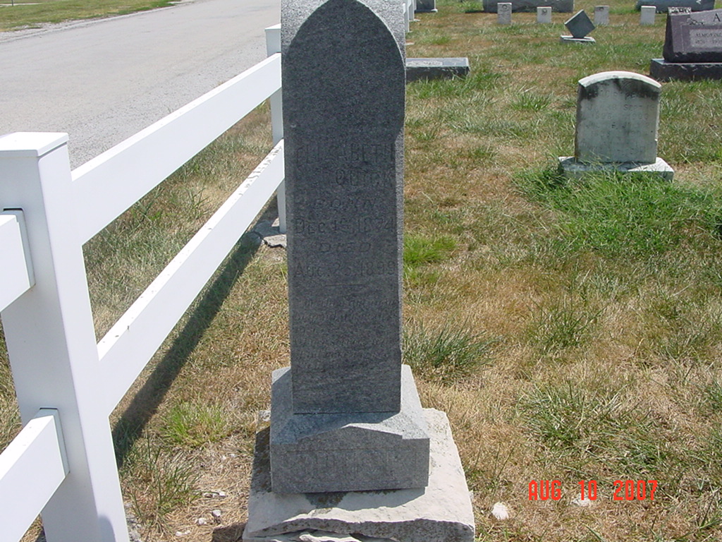
photo contributed by Ron Reid |
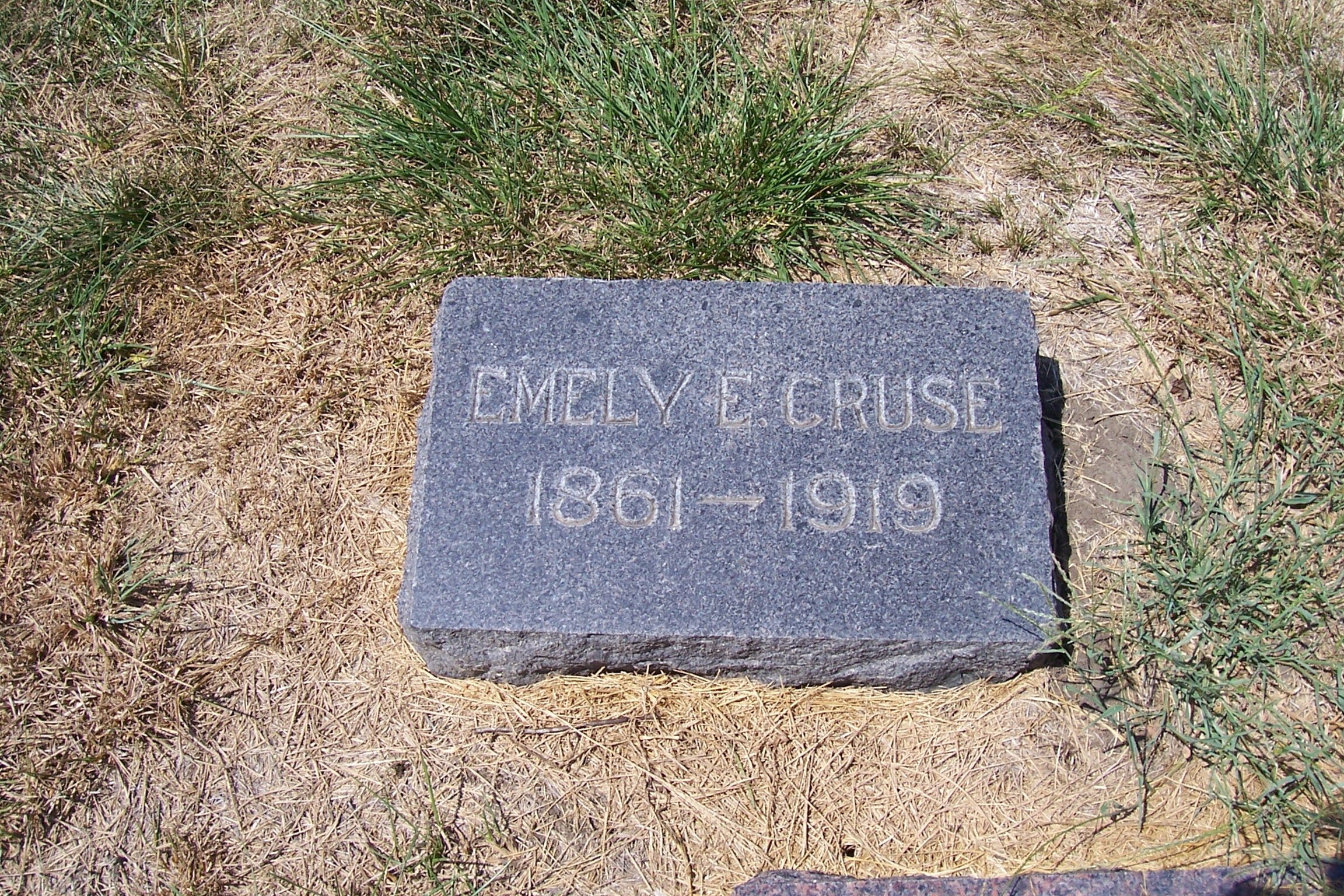
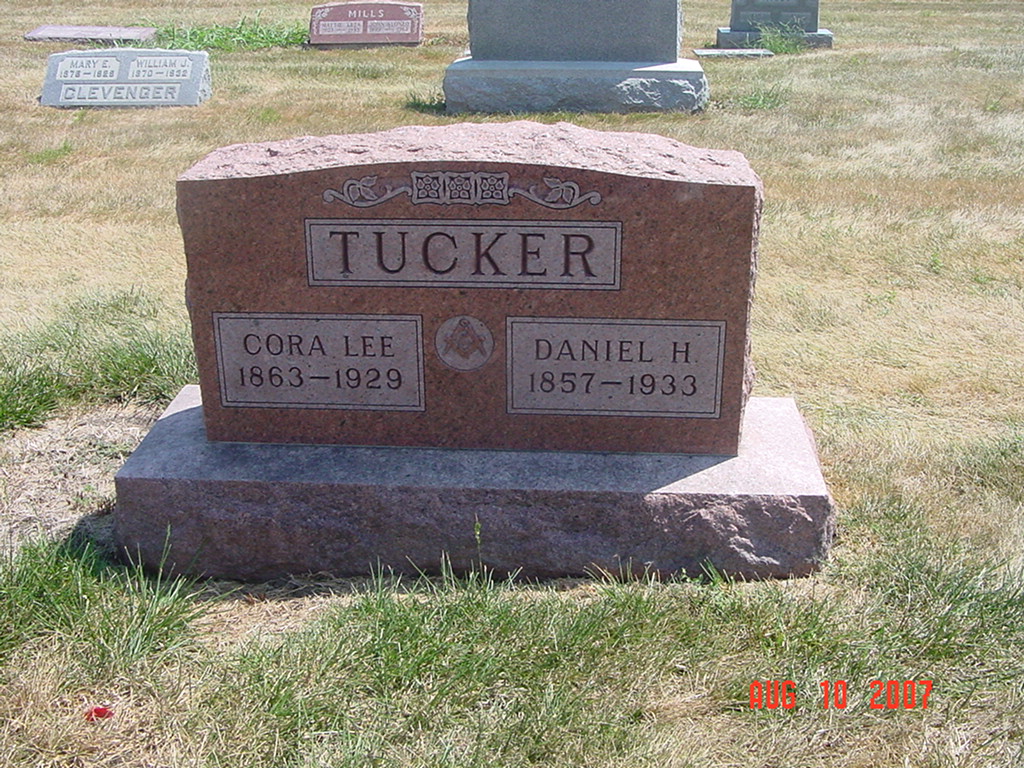
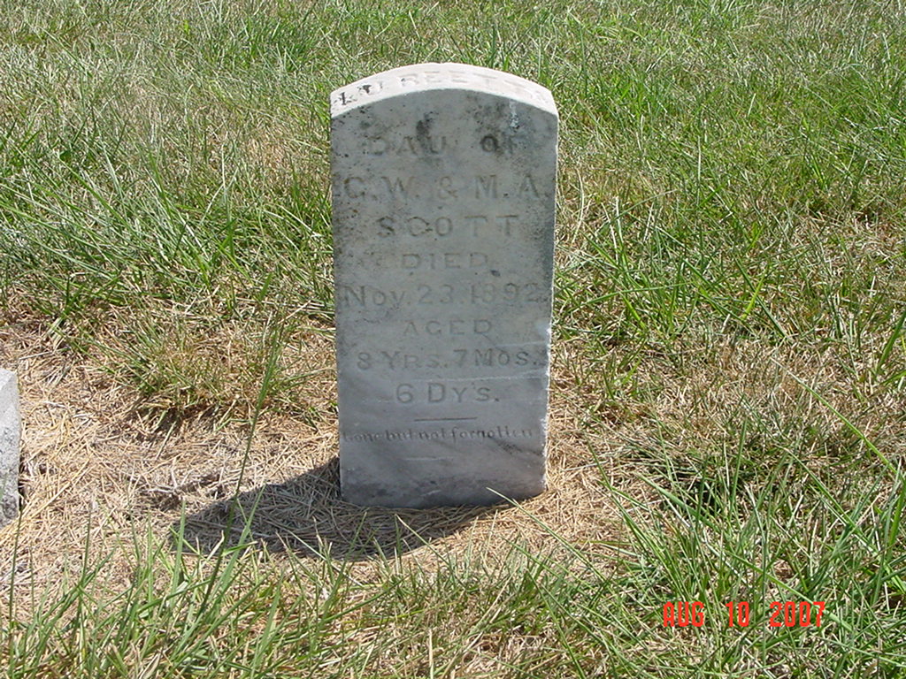
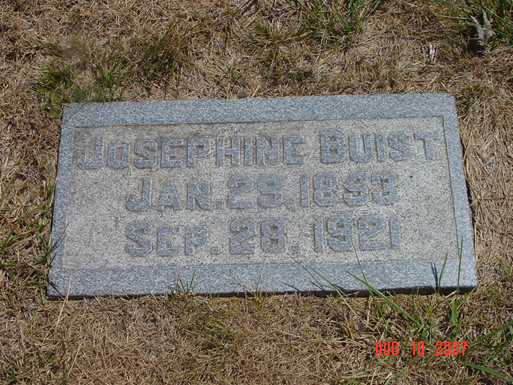
photo contributed by Ron Reid |
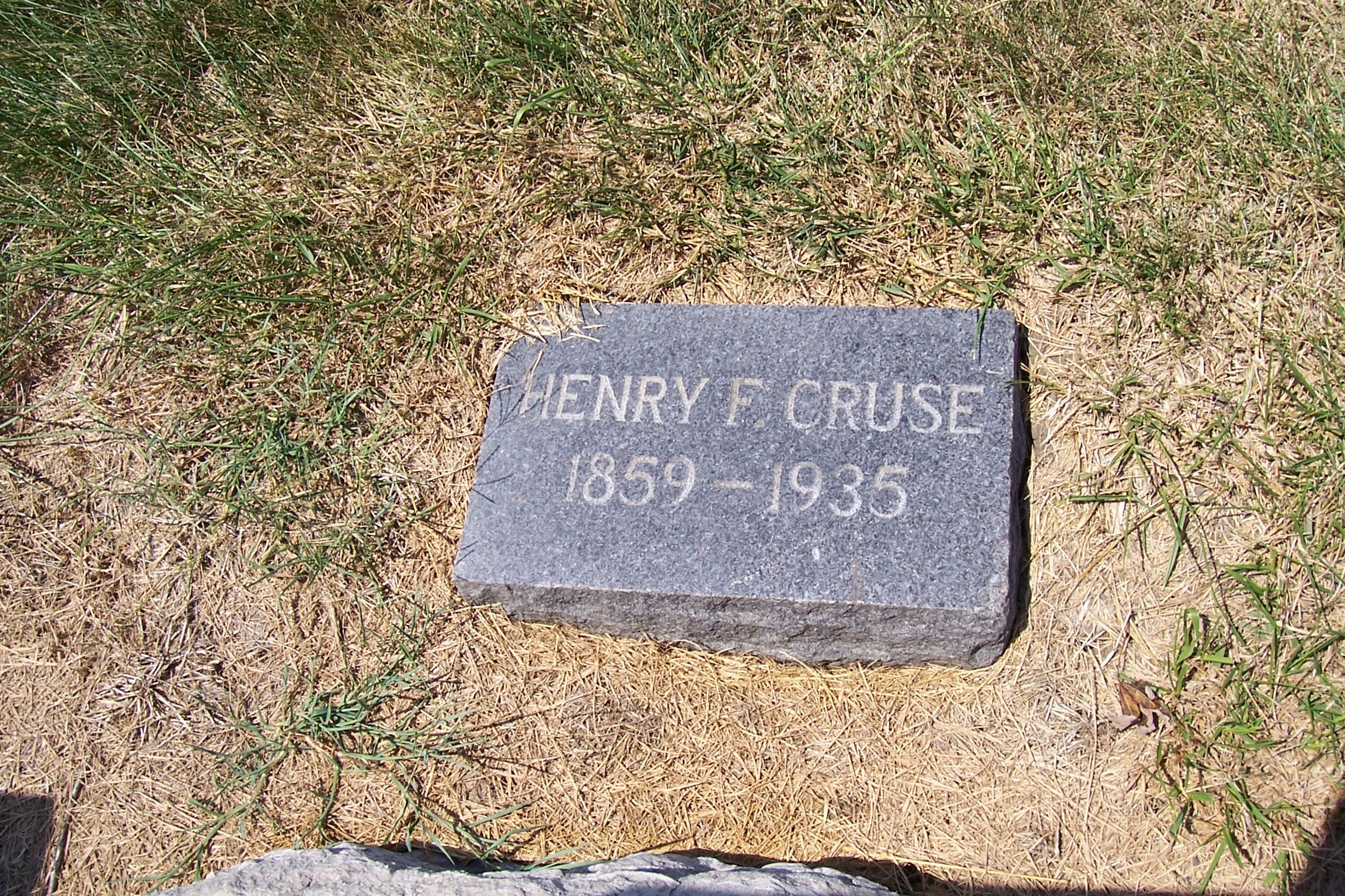
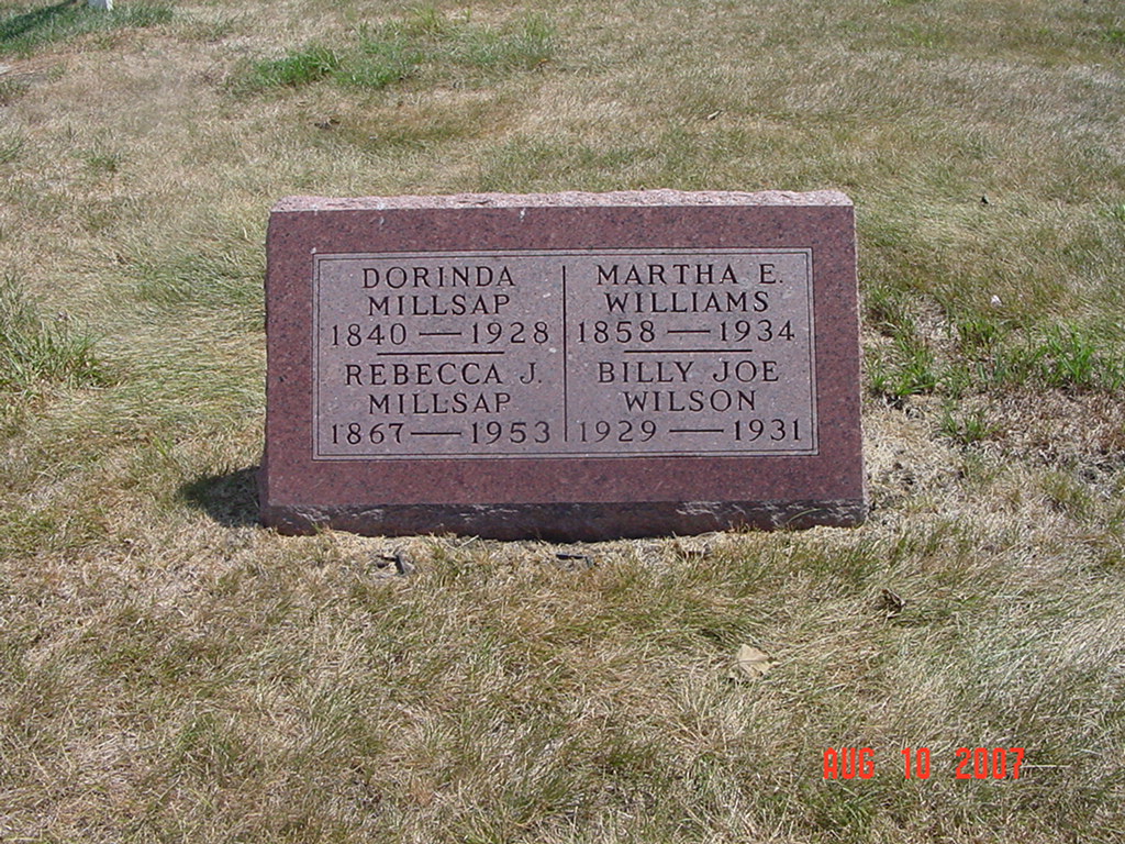
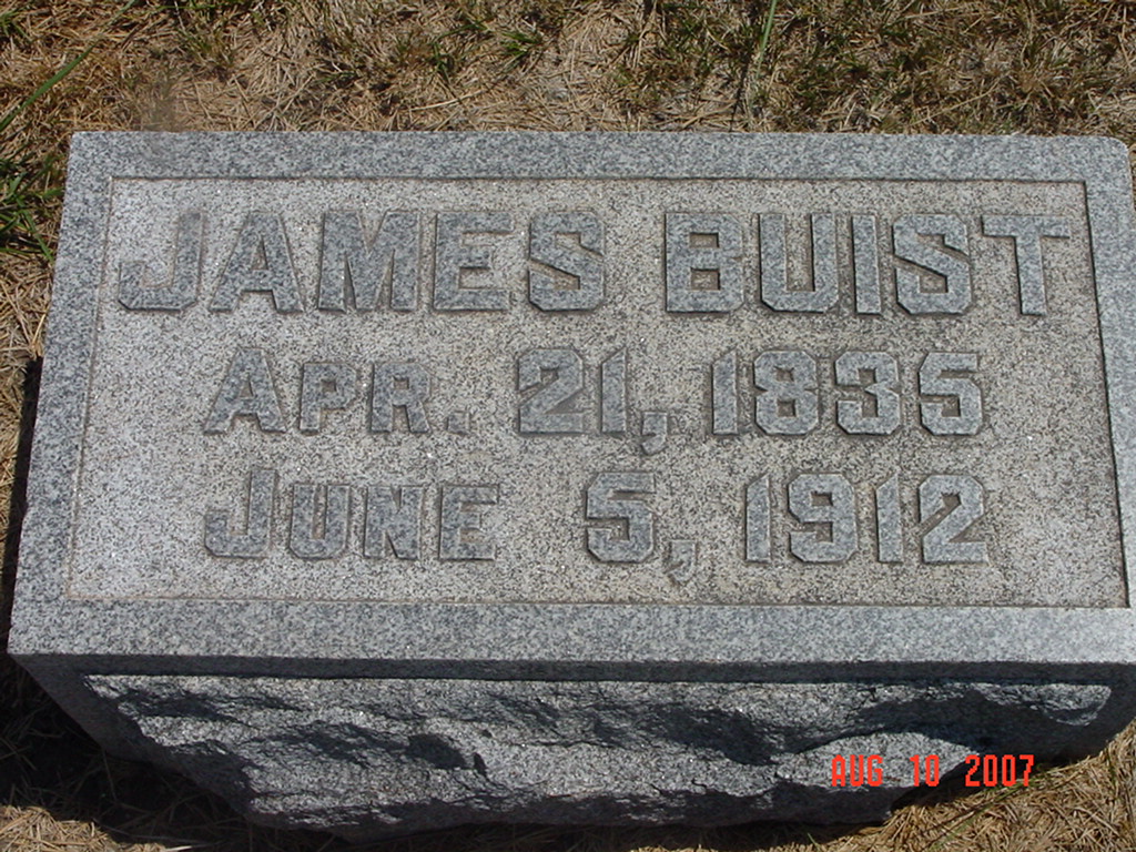
photo contributed by Ron Reid |
|
photo contributed by Ron Reid |
Transcription:
Ray County Home Page | MoGenWeb | USGenWeb | WorldGenWeb | E-Mail County Coordinator
To add additional information relating to Ray County, Missouri Genealogy, E-Mail the county coordinator.
since November 11, 2006
Last Updated