|
 |
|
|
|
|
#603
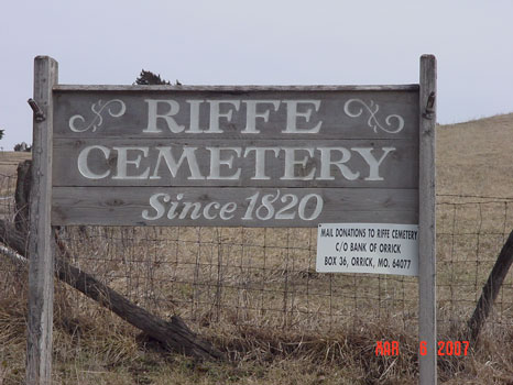
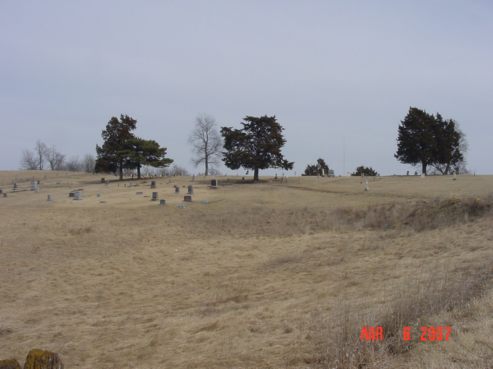
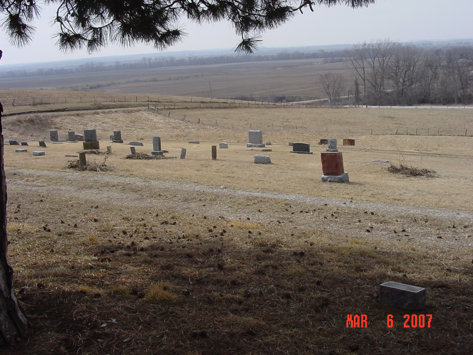
Riffe Cemetery Orrick Township |
||
Ray County Cemeteries - Web Page
|
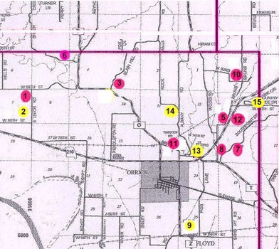
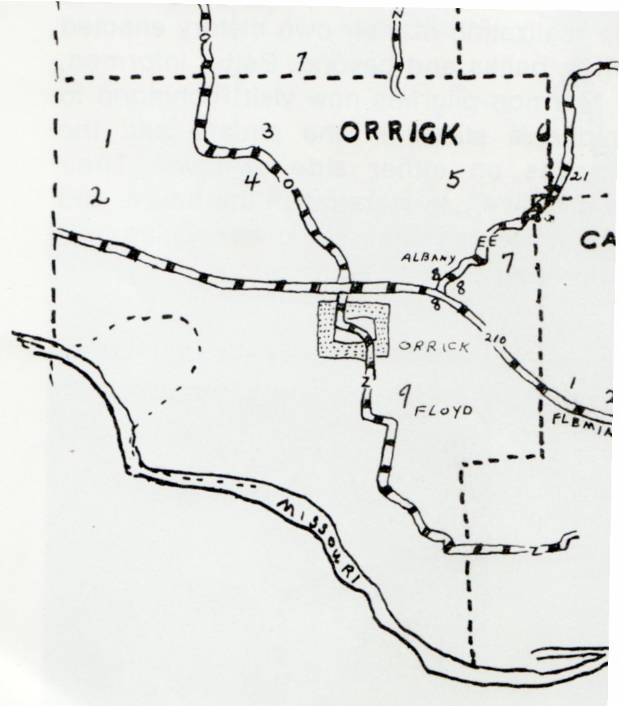
#3 on Orrick Township Map |
 |
||
| Riffe Cemetery
(aka Blain Cemetery) |
#3 on Orrick Township Map |
Latitude: 39°15'5.00"N Longitude: T51R29S03 |
Follow Route O north of Orrick for about three miles to Blain Hill Road. This will be the first gravel road you come to that tees off up into the hills to your right. Riffe Cemetery is on the right after you turn onto the gravel road. | Riffe & Union Baptist cemeteries; Joyce Anderson Swearingin; Also on title page: Riffe and Union Baptist cemeteries are both located north of Orrick; 48 leaves. | FHL 977.819 V3r
Ray REF 929.3 RAY Genealogy Trails Transcription online Compilation for sale by Joyce Anderson Swearingin Jones Lookup by Robert Randall (please be sure to put "cemetery lookup" in the subject line) |
| Riffe Cemetery was also called Blain Cemetery:
The death certificate for Dixon Lee Cooley indicates that he was buried in Blain Cemetery. He is listed on the transcription for Riffe Cemetery. The death certificate for Cecil A. Blain indicates he was buried in Blain Cemetery, near Orrick but he's not listed in the transcription for Riffe Cemetery. |
Blain Cemetery is listed as #4 on Ray County History 1973 cemetery map p. 230 Both Riffe (#3) and Blain (#4) are marked on this map, but this may be incorrect. |
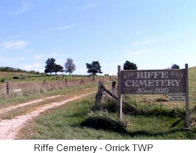
photo submitted by Jennifer Zunker |
 |
 |
 |
 |
|
Transcription:
Ray County Home Page | MoGenWeb | USGenWeb | WorldGenWeb | E-Mail County Coordinator
To add additional information relating to Ray County, Missouri Genealogy, E-Mail the county coordinator.
since November 11, 2006
Last Updated