|
 |
|
|
|
|
#507
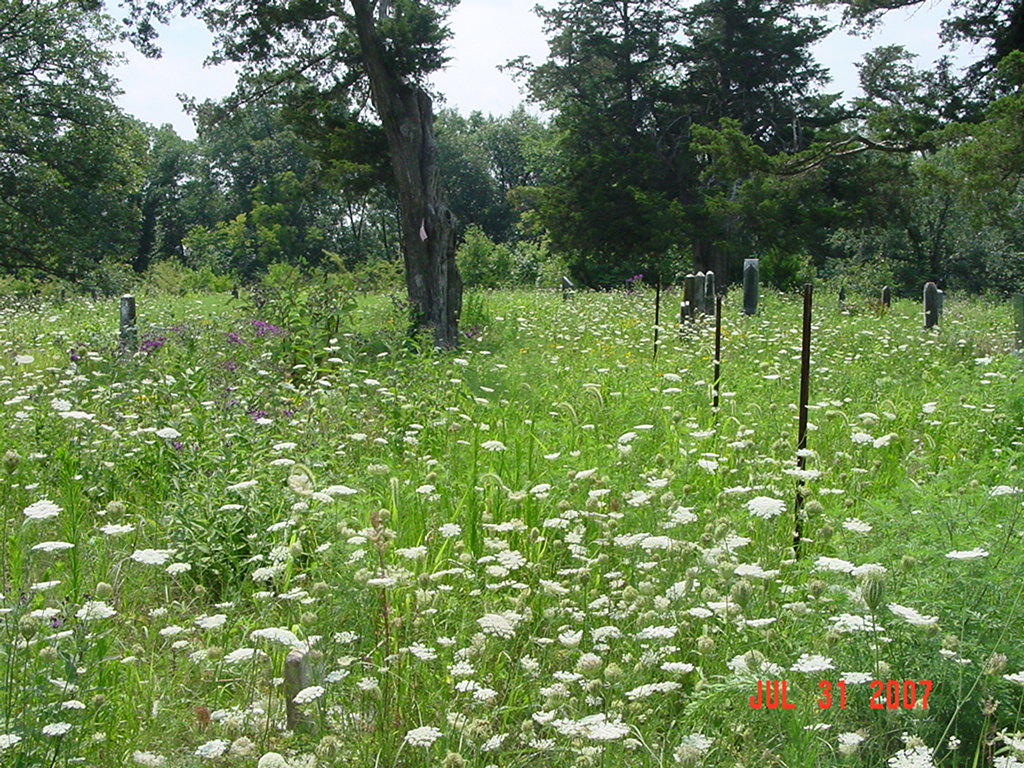
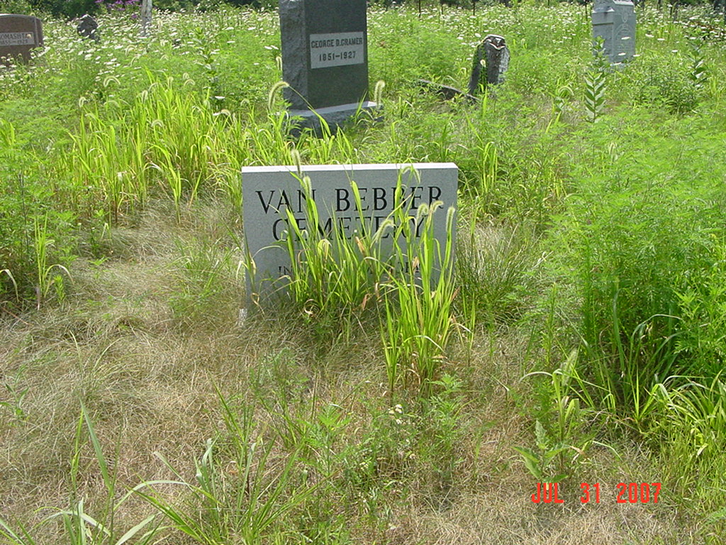
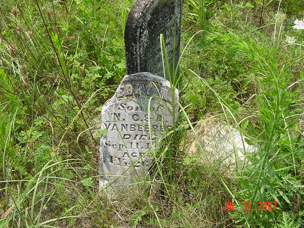
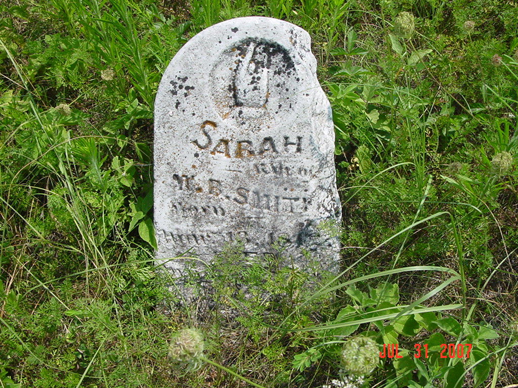
VanBebber Cemetery (aka St. Paul's Cemetery) Knoxville Township |
||
Ray County Cemeteries - Web Page
|
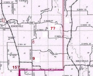
#7 on Knoxville Township Map |
|||
| Vanbebber Cemetery
(aka St. Paul's Cemetery) (spelled Vanbibber in 2005 plat book) |
#7 on Knoxville Township Map |
Latitude: 39°26'17.00"N
Longitude: |
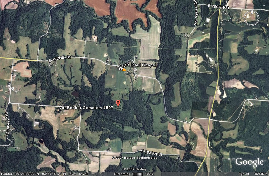
southeast of Knoxville
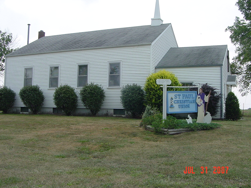
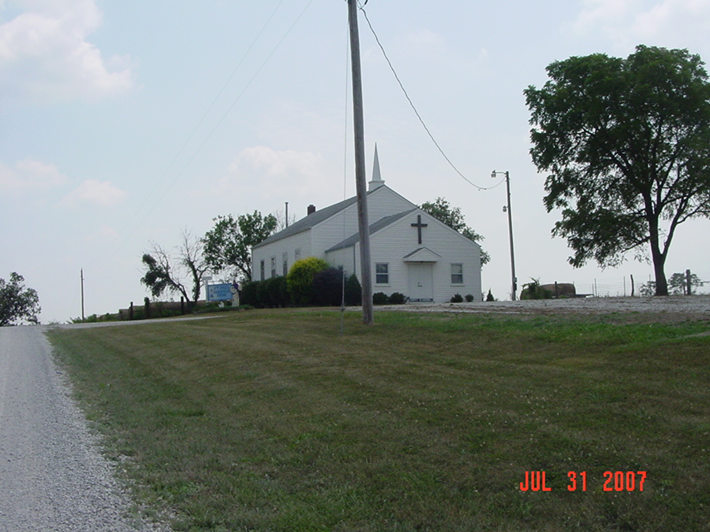
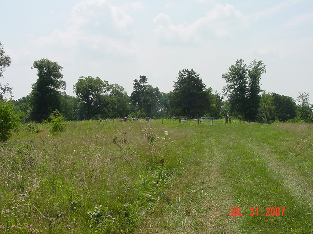
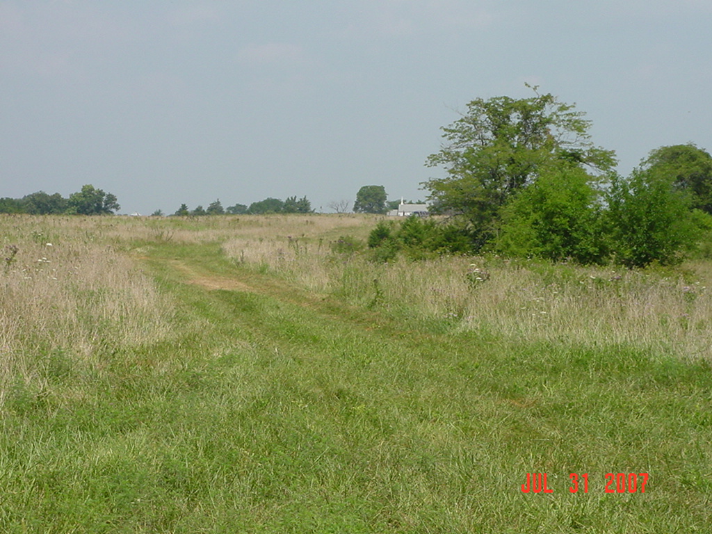
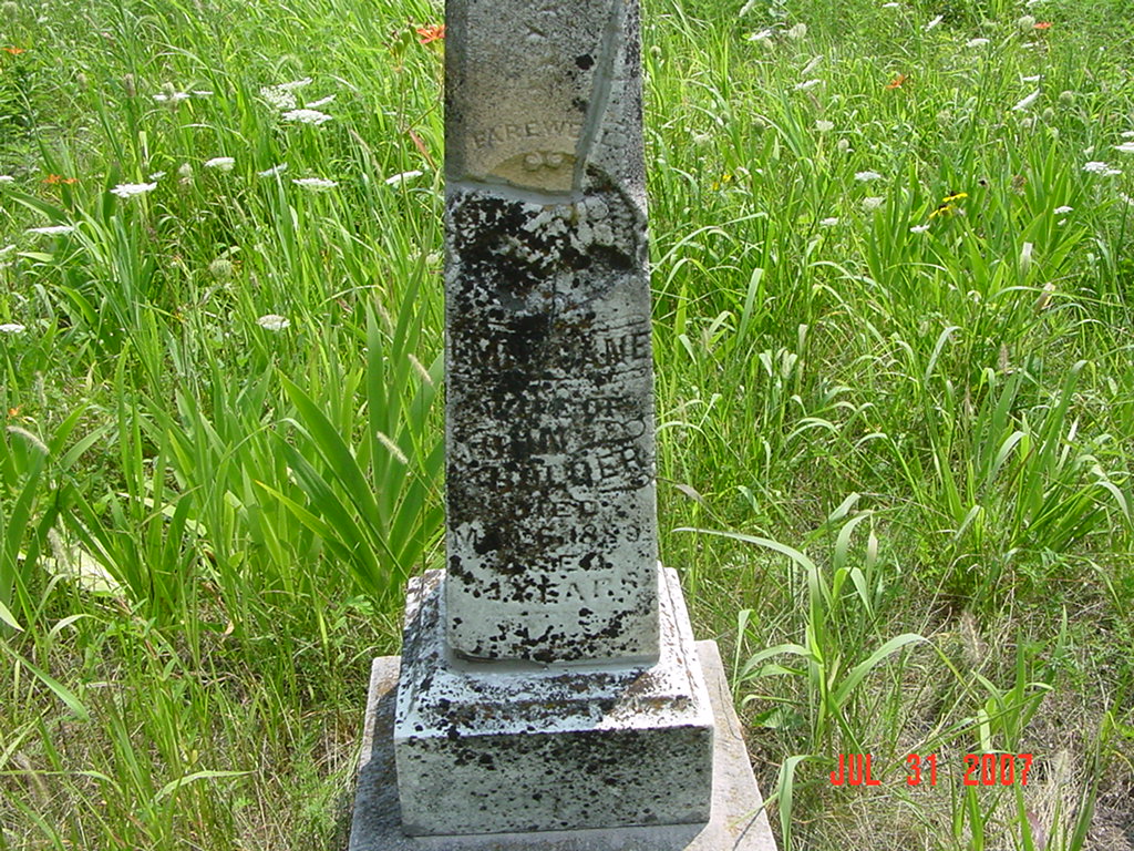
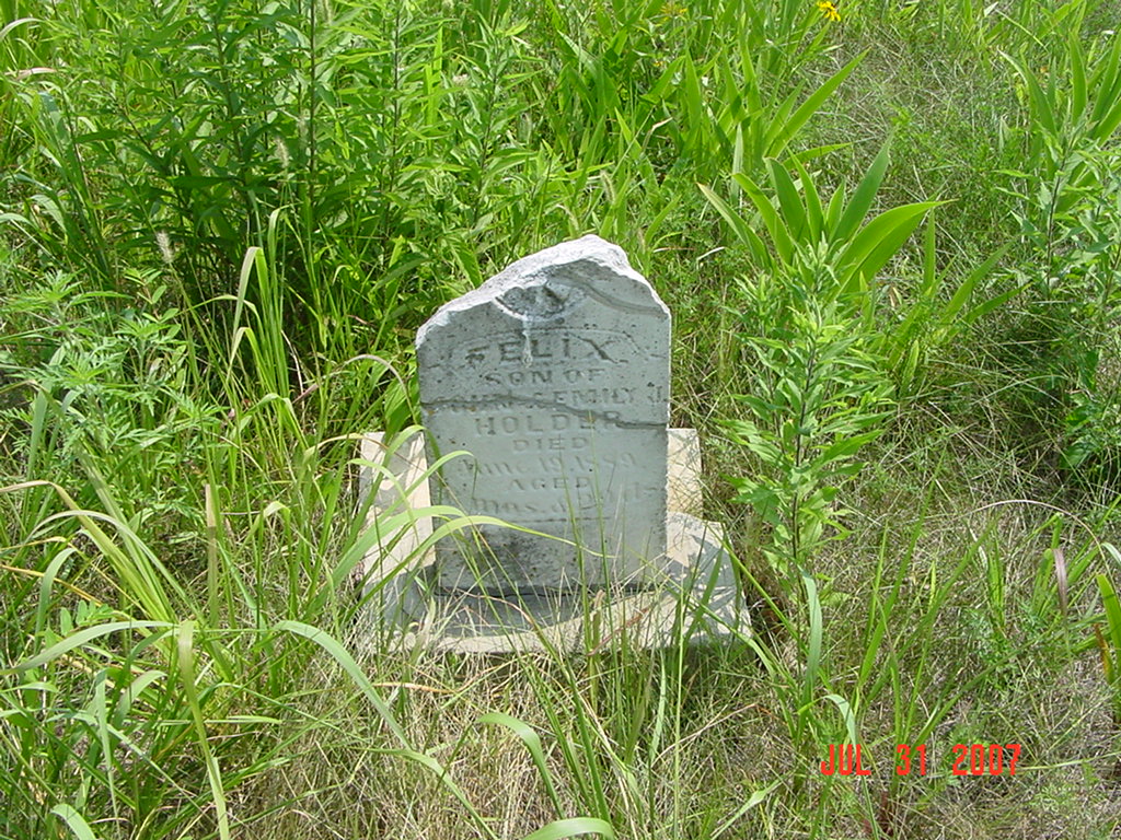
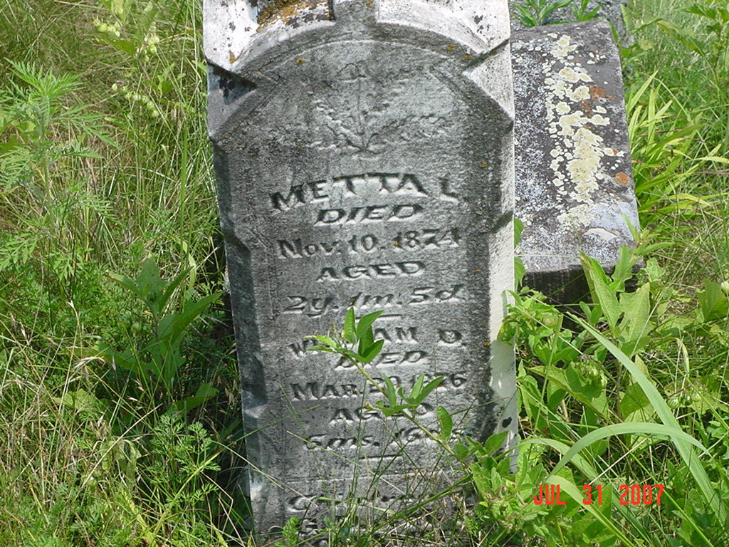
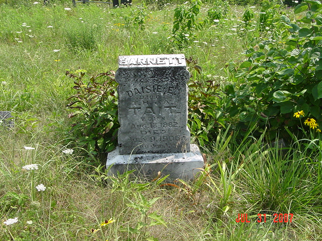
Located three miles east of Knoxville to St. Paul Church. Go south through a gate and go one half mile The cemetery is in the middle of a pasture full of cows. The cemetery is fenced so the cows can't get in. 1973 History, p. 231, Knoxville Twp: #6 is St. Paul Cemetery and #7 is VanBebber Cemetery [ is this the same cemetery?] |
compiled by Elizabeth Prather Ellsberry, Juliette L. Smith and Mrs. Carlton Richardson
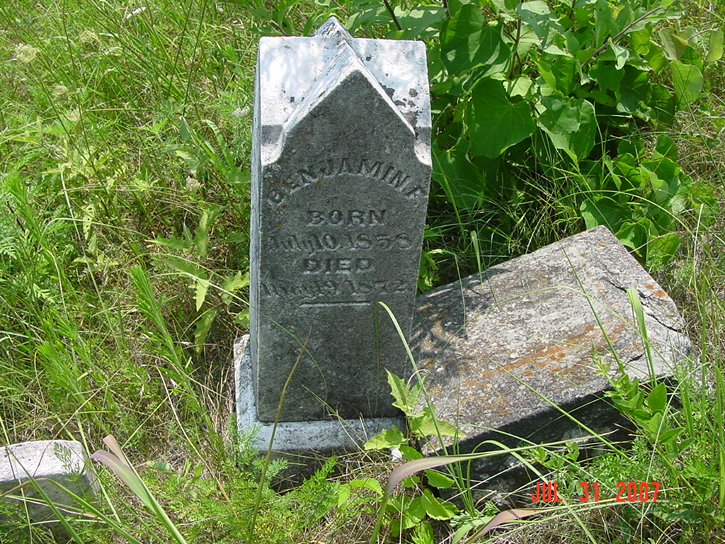
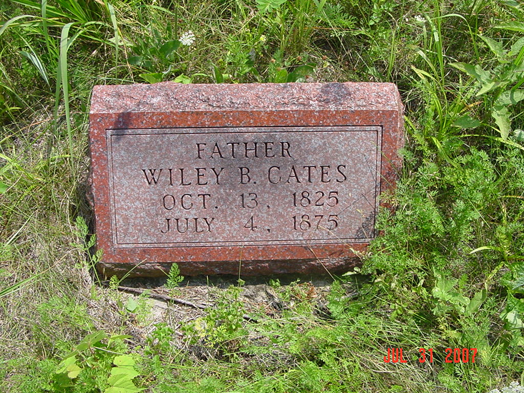
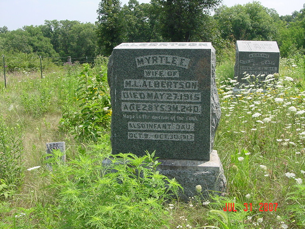
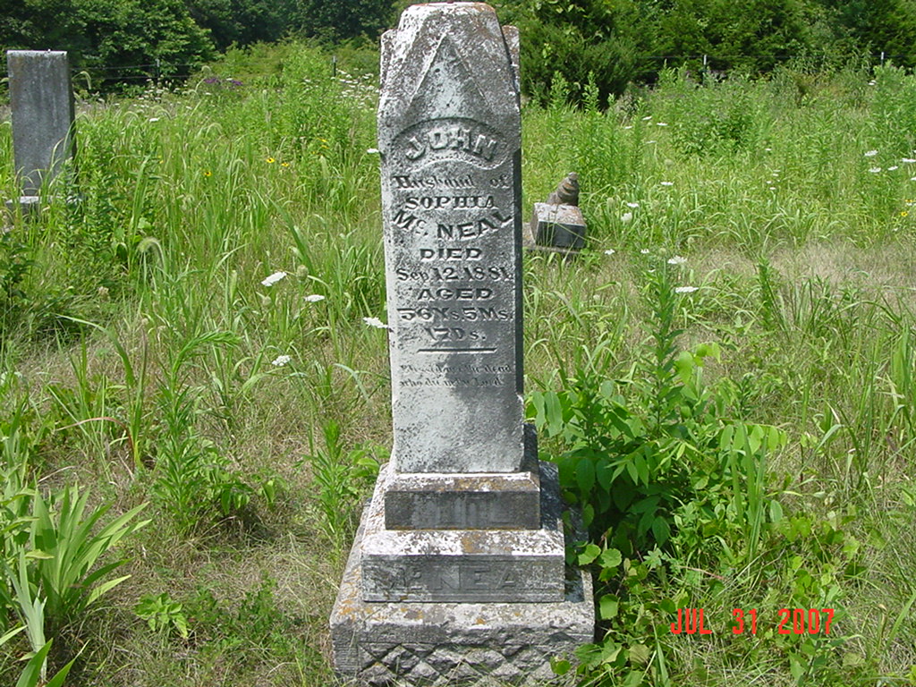
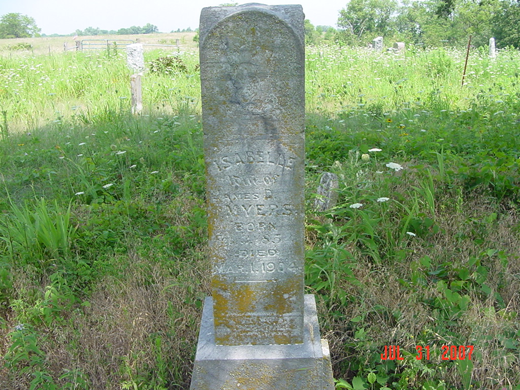
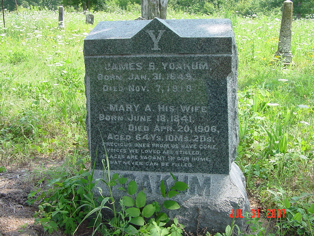
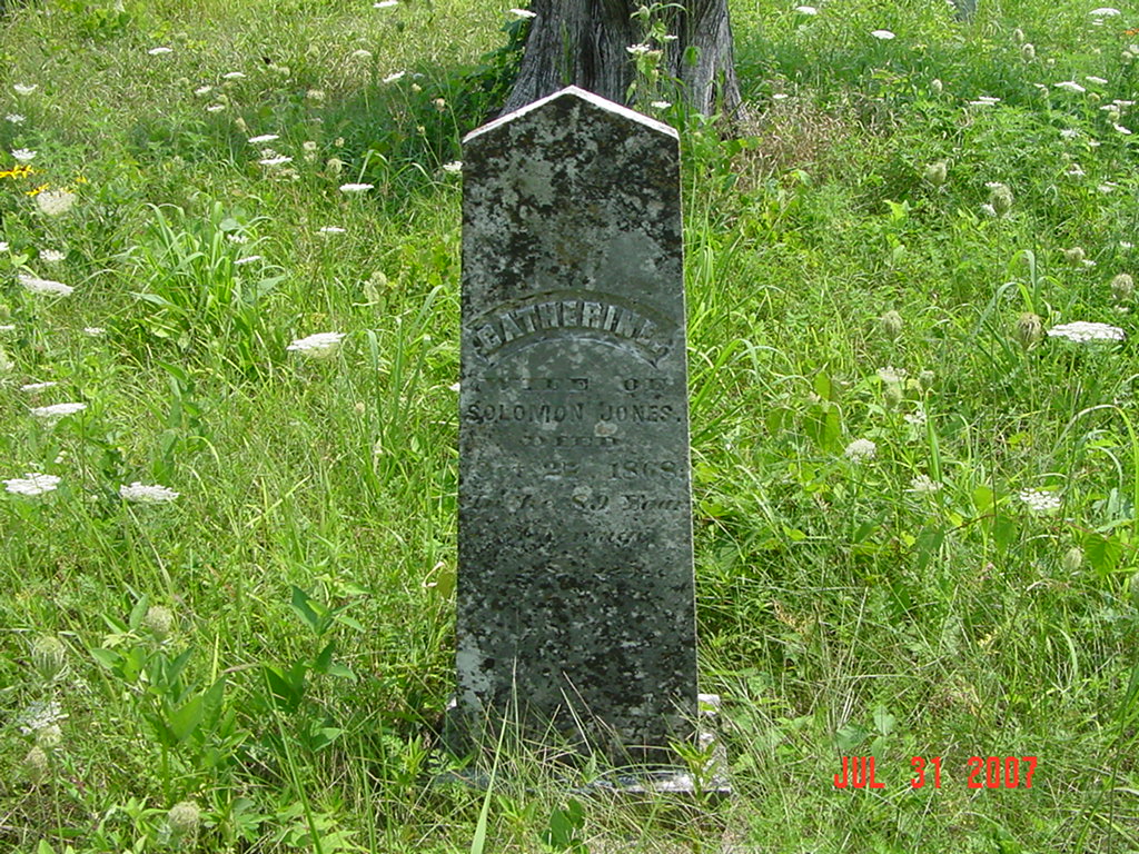
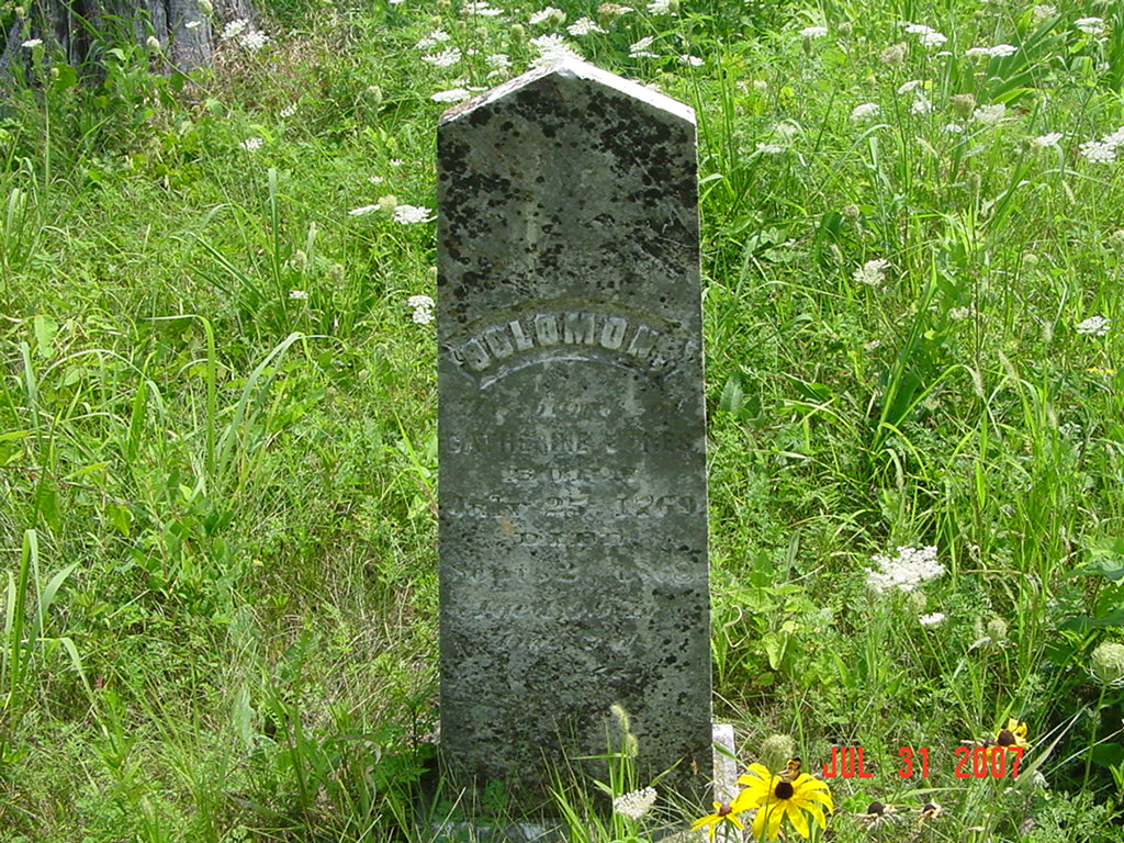
Copied by Mrs. Carlton Richardson, Rayville, Mo. Copied Dec. 1965 v. 2. Cummins, Holder, Kincaid, Knoxville, Linville, McVeigh, Petree, Petty, Rainwater, Sandals [Thomson], Sylar, Teegarden, Van Bebber, Yoakum cemeteries |
FHL 977.819 V3e v. 1-2
Ray REF 929.3 RAY |
 |
 |
 |
 |
 |
 |
 |
 |
 |
 |
 |
 |
 |
 |
 |
 |
 |
 |
 |
 |
 |
 |
 |
Transcription:
Ray County Home Page | MoGenWeb | USGenWeb | WorldGenWeb | E-Mail County Coordinator
To add additional information relating to Ray County, Missouri Genealogy, E-Mail the county coordinator.
since November 11, 2006
Last Updated