|
 |
|
|
|
|
#504
Sylar Cemetery Knoxville Township |
||
Ray County Cemeteries - Web Page
|
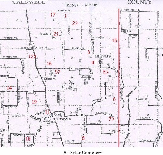
#4 on Knoxville Township Map |
 |
| Sylar Cemetery
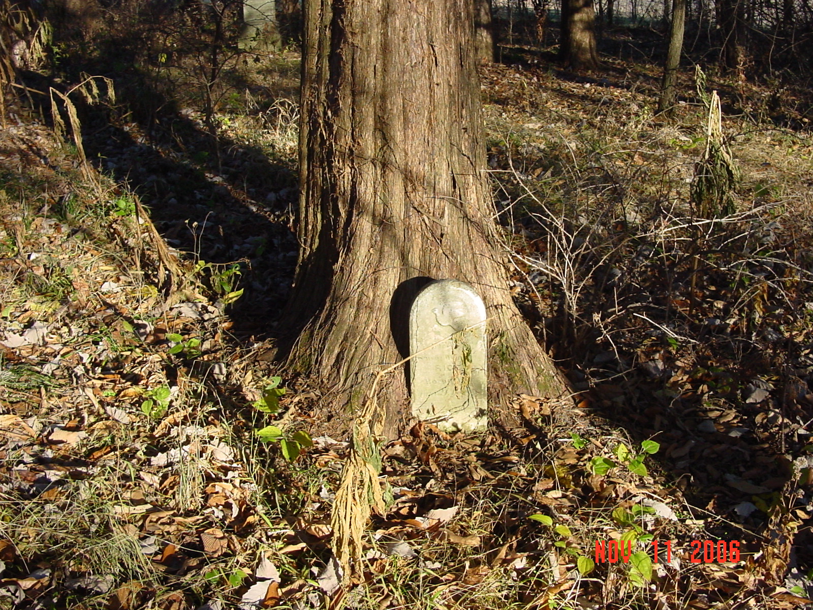
(Sylar is the correct spelling according to the sign - often it is spelled "Silar" |
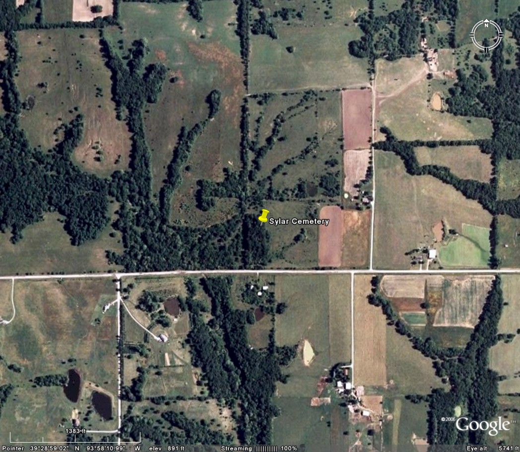
Knoxville Township | Latitude: 39°28'59.00"N Longitude: |
Located two miles north of Knoxville, Mo.; to state road and turn east and go two miles.
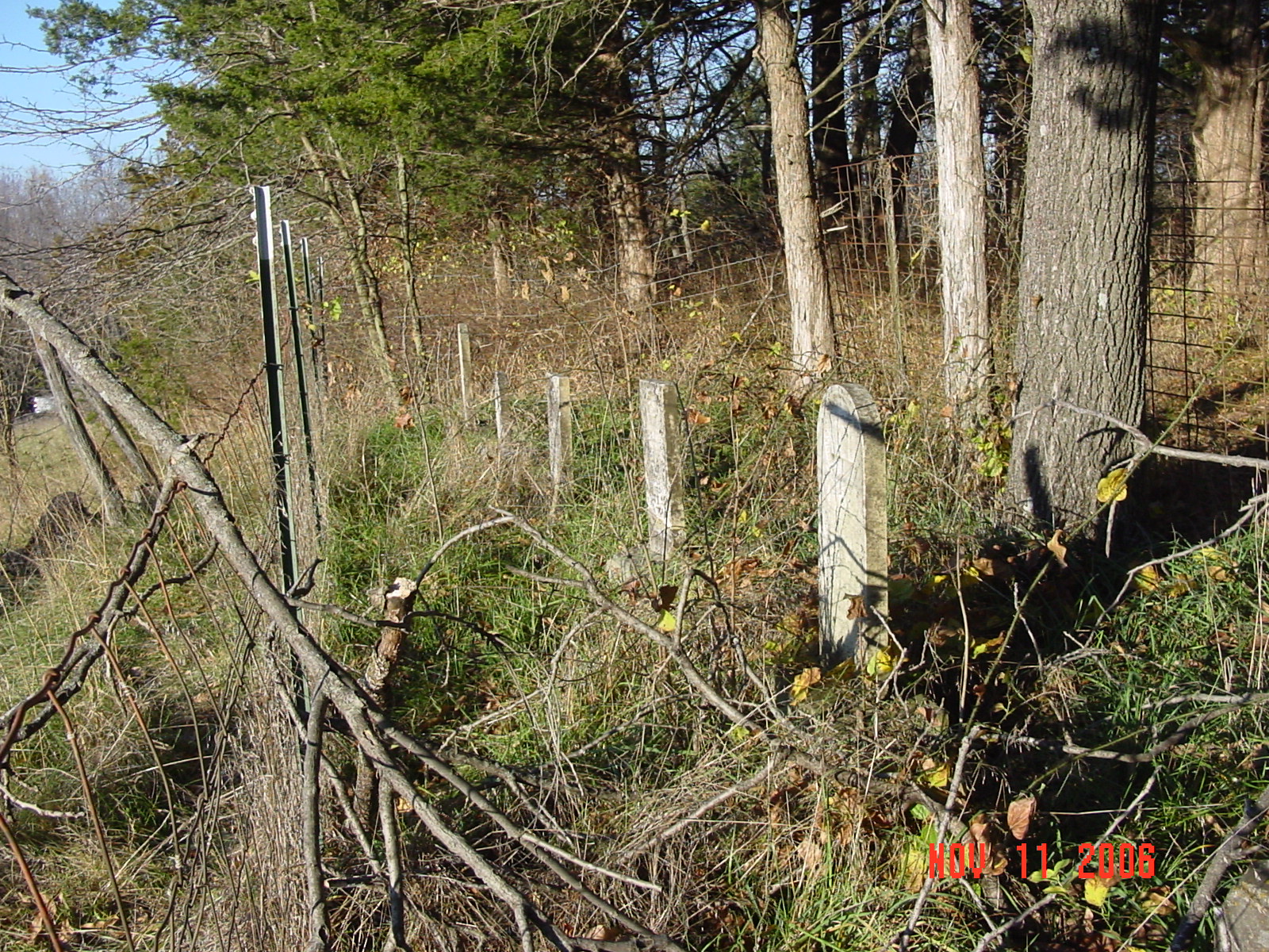
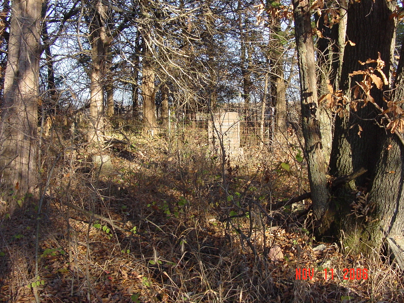
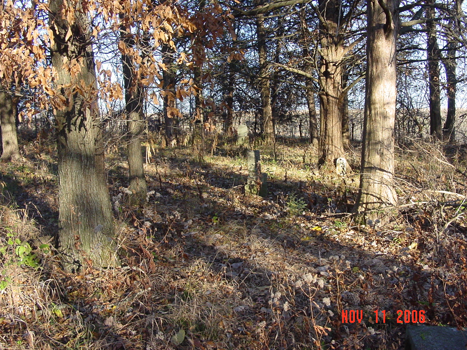
Cemetery is located on the north side of "V" highway between Moss Road and Claypole Lane. A green sign marks the cemetery entrance. The cemetery is located north of the cattle gate and east of the old lane. The entire cemetery is surrounded by a fence and many stones are grouped together and surrounded by additional cattle panels. It appears that families may have enclosed these stones for additional protection from the cattle. |
compiled by Elizabeth Prather Ellsberry, Juliette L. Smith and Mrs. Carlton Richardson
Copied by Mrs. Carlton Richardson, Rayville, Mo. Dec. 1965 v. 2. Cummins, Holder, Kincaid, Knoxville, Linville, McVeigh, Petree, Petty, Rainwater, Sandals [Thomson], Sylar, Teegarden, Van Bebber, Yoakum cemeteries |
FHL 977.819 V3e v. 1-2 |
| Some photographs of the cemetery Click on the photo for larger view |
||
 |
 |
 |
 |
 |
 |
Transcription:
Ray County Home Page | MoGenWeb | USGenWeb | WorldGenWeb | E-Mail County Coordinator
To add additional information relating to Ray County, Missouri Genealogy, E-Mail the county coordinator.
since November 11, 2006
Last Updated