|
 |
|
|
|
|
#519
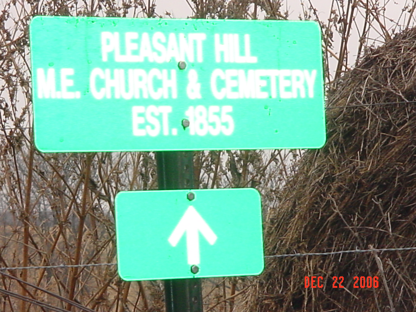
Pleasant Hill Cemetery Knoxville Township |
||
Ray County Cemeteries - Web Page
|
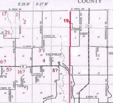
#19 on Knoxville Township Map |
 |
||
| Pleasant Hill Cemetery |
#19 on Knoxville Township Map DAR Index indicates it to be in Knoxville Twp 1973 Ray County History indicates it's in Grape Grove Twp |
Latitude: 39°30'59.00"N Longitude: estimated T54R27S05 |
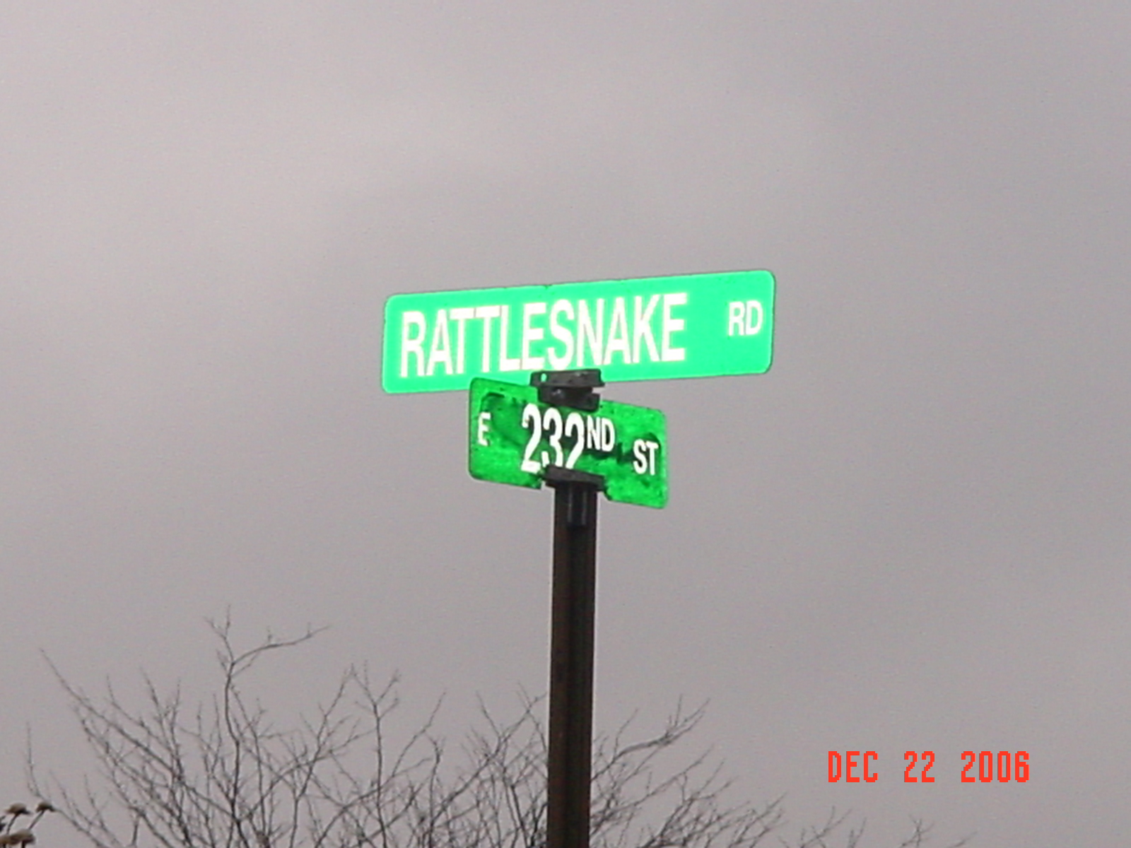
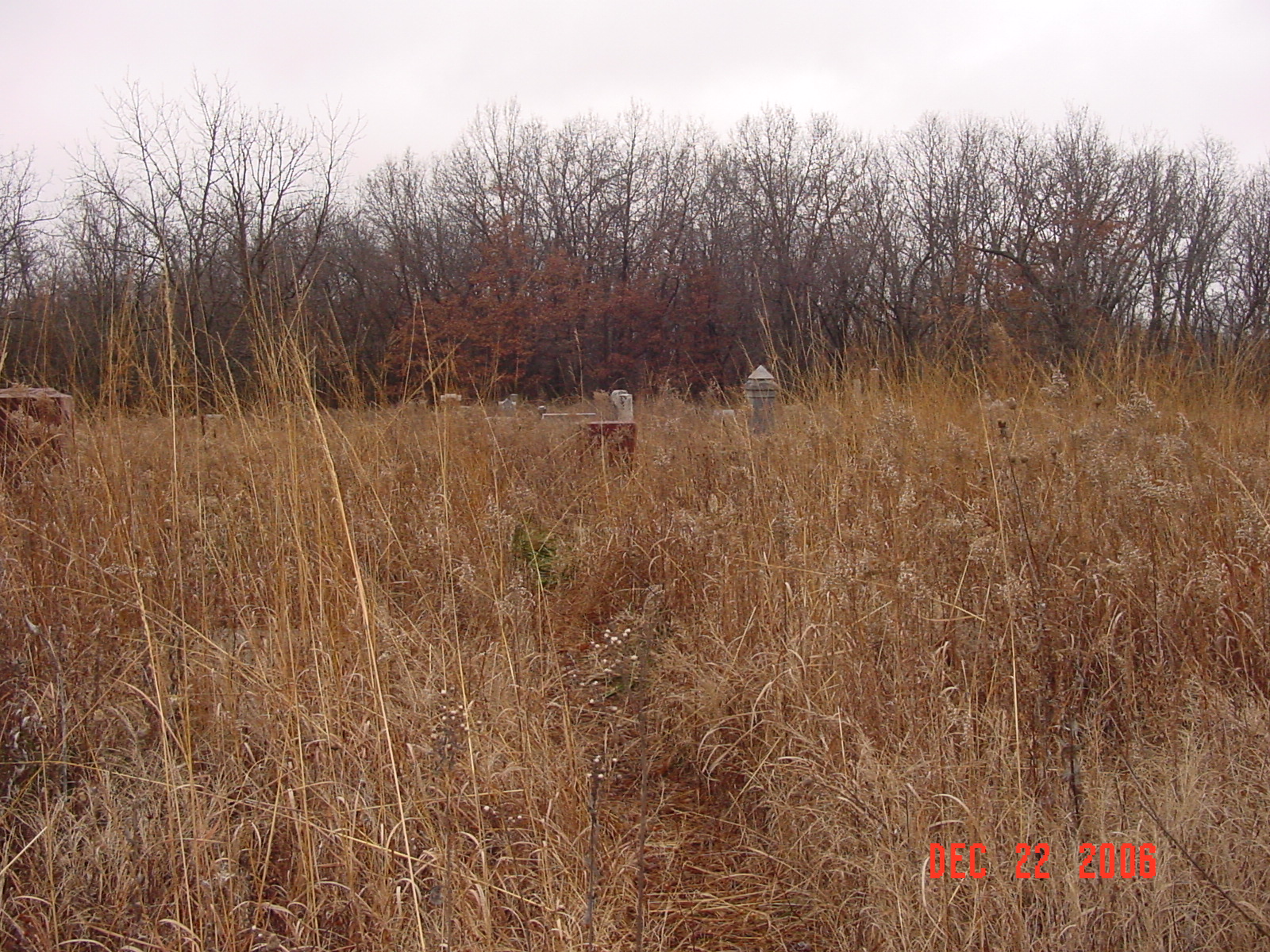
Located one and one half miles south of the Caldwell and Ray County Line on Route B, one half mile west on 230th Street, one quarter mile north on Rattlesnake Road, and about 3/4 mile west on E. 232 Street. The cemetery is located at the end of this old road.
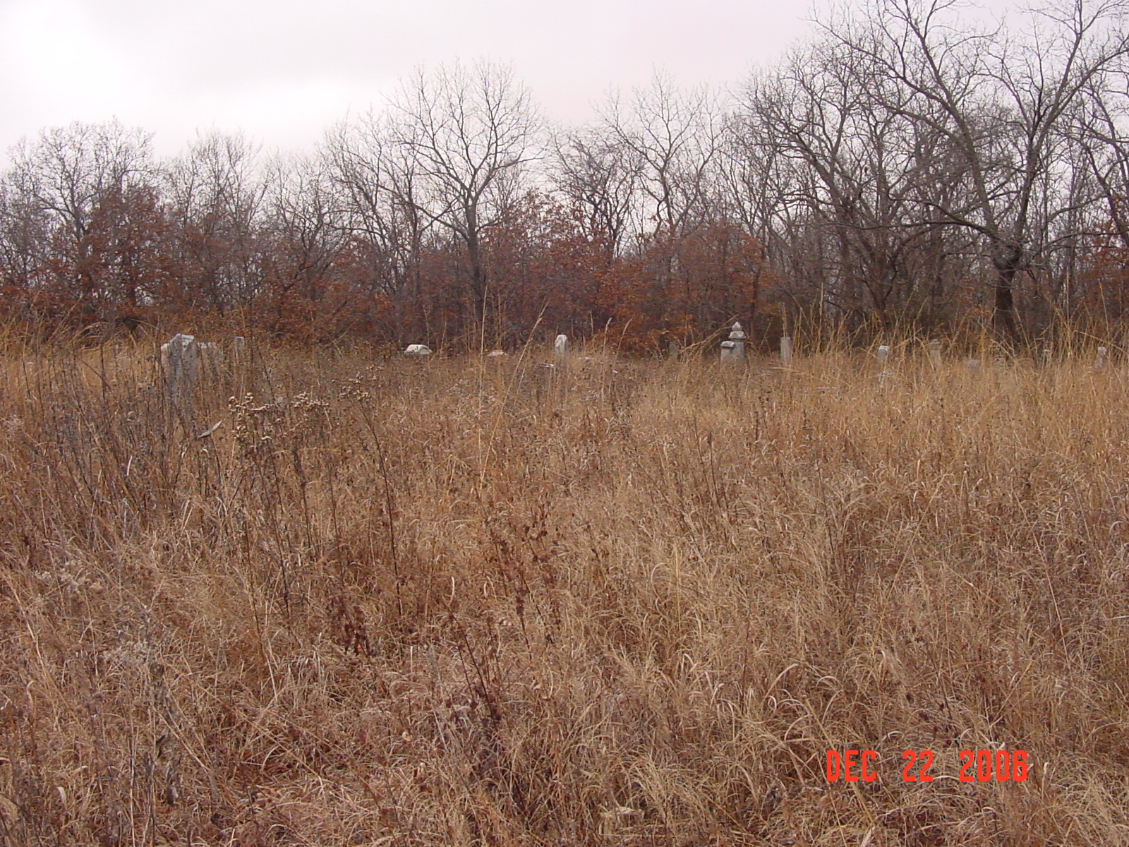
Cemetery is overgrown with weeds. 1973 Ray County History p. 230: #1 in Grape Grove Twp DAR Index: located in Knoxville Twp at the west end of E. 232nd Street, unimproved Notes: NE1/4SE1/4 Section 5. South of CR108 (county line) one mile to CR89. West and north 1 mile ending on unimproved road. Knoxville Twp |
compiled by Elizabeth Prather Ellsberry, Juliette L. Smith and Mrs. Carlton Richardson
v. 1. Antioch, Belt, Bethel, Little Union, Millville Community, New Hope, Penniston, Pleasant Hill, Smith, Tinney Grove cemeteries |
FHL 977.819 V3e v. 1-2 |
 |
 |
. |
 |
 |
 |
Transcription:
Ray County Home Page | MoGenWeb | USGenWeb | WorldGenWeb | E-Mail County Coordinator
To add additional information relating to Ray County, Missouri Genealogy, E-Mail the county coordinator.
since November 11, 2006
Last Updated