|
 |
|
|
|
|
#503
Petty Cemetery Knoxville Township |
||
Ray County Cemeteries - Web Page
|
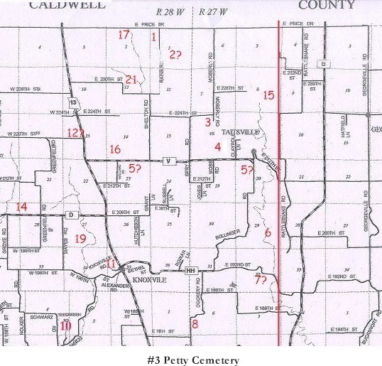
#3 on Knoxville Township Map |
 |
| Petty Cemetery | Knoxville Township
#3 on Knoxville Township Map |
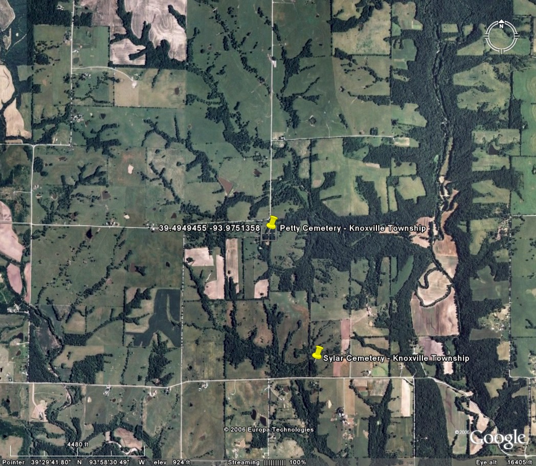
Latitude: 39°29'40.00"N Longitude: 93°58'31.00"W T54R27S18 |
Located three and one half miles on the Caldwell and Ray County Line from Highway No. 13 and two miles south
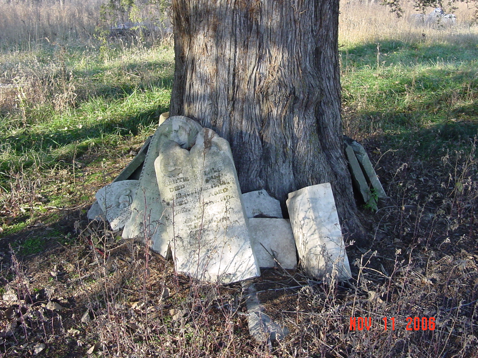
From 224th Street, turn south on Moberly Road. Cemetery is located at the end of Moberly Road on the west side of the dead end road. The cemetery is overgrown with weeds and many stones have been turned over and many are piled around a huge cedar tree in the middle of the cemetery. There are many new stones on old bases in memory of people who have died many years ago. Unfortunately, many of the these stones have been tipped over by vandals. DAR Index: located at the south end of Moberly Road Notes: NE1/4 NW1/4 Section 18. At end of CR66 2.2 miles south of CR108 (county line). Knoxville Twp |
compiled by Elizabeth Prather Ellsberry, Juliette L. Smith and Mrs. Carlton Richardson
Copied April, 1971 v. 2. Cummins, Holder, Kincaid, Knoxville, Linville, McVeigh, Petree, Petty, Rainwater, Sandals [Thomson], Sylar, Teegarden, Van Bebber, Yoakum cemeteries |
FHL 977.819 V3e v. 1-2
Ray REF 929.3 RAY |
| Some photographs of the cemetery Click on the photo for larger view |
||
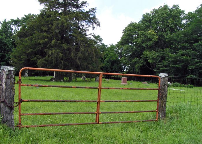
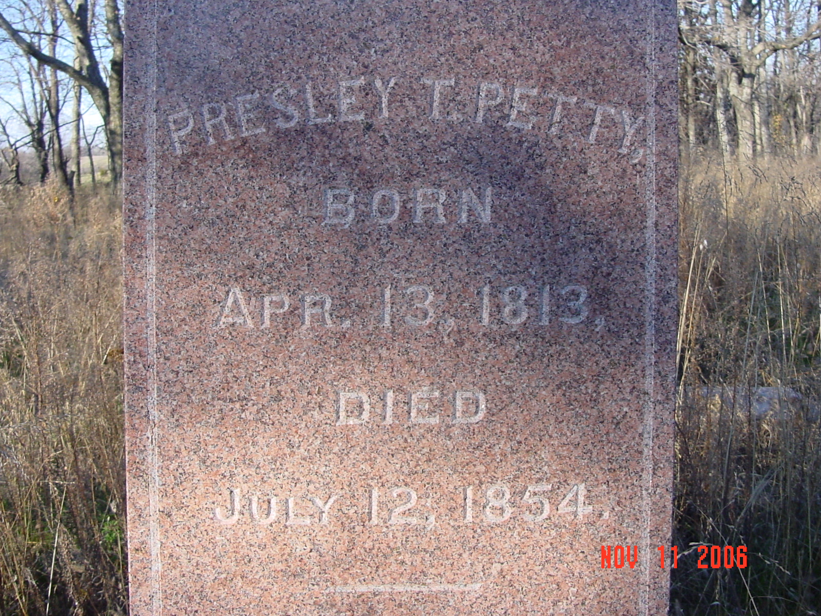
photo submitted by Jennifer Zunker |
 |
 |
 |
||
Transcription:
Ray County Home Page | MoGenWeb | USGenWeb | WorldGenWeb | E-Mail County Coordinator
To add additional information relating to Ray County, Missouri Genealogy, E-Mail the county coordinator.
since November 11, 2006
Last Updated