|
 |
|
|
|
|
#501
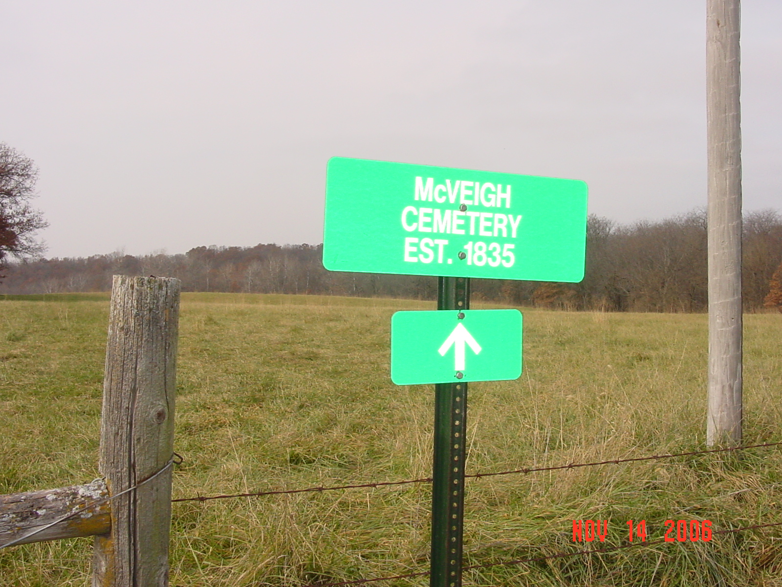
McVeigh Cemetery (aka Broady Cemetery) (aka Hunt Cemetery) Knoxville Township |
||
Ray County Cemeteries - Web Page
|
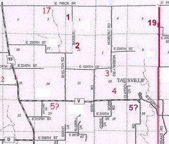
#1 on Knoxville Township Map |
 |
||
| McVeigh Cemetery
(aka Broady or Brody Cemetery) (aka Hunt Cemetery) |
#1 on Knoxville Township Map |
Latitude: 39°31'12.00"N Longitude: S/W1/4 NW1/4 |
Established in 1835.
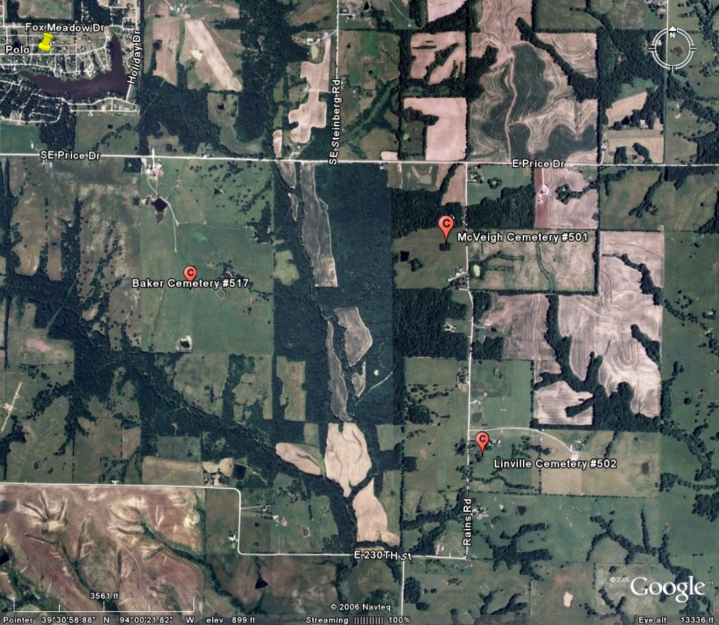
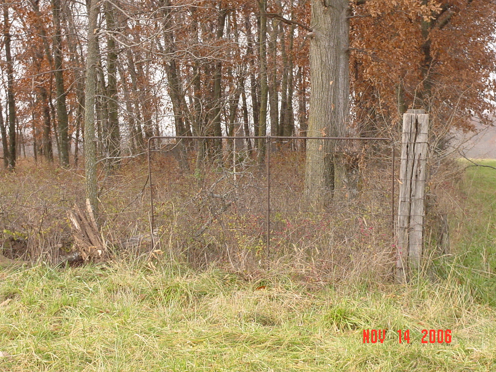
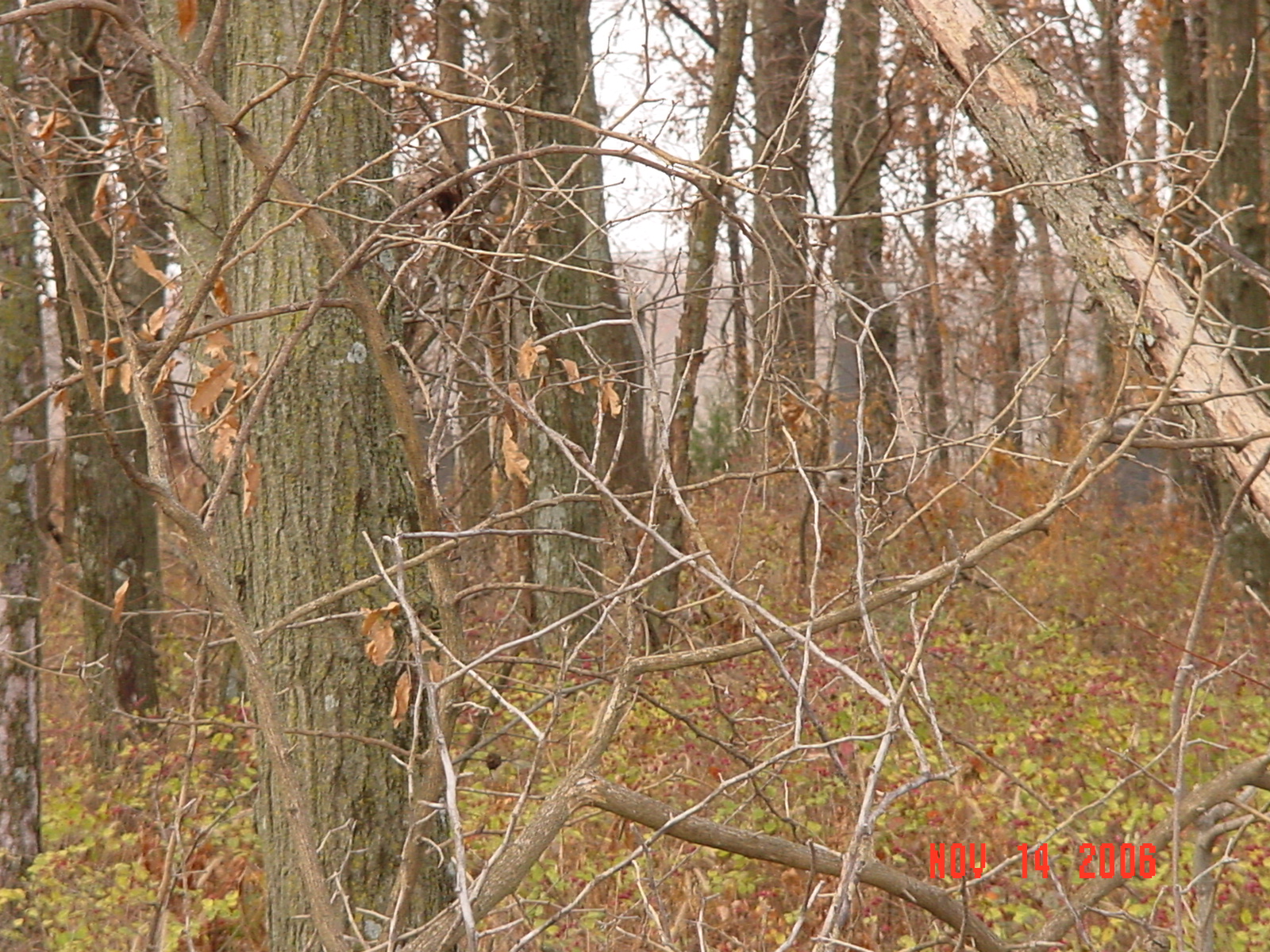
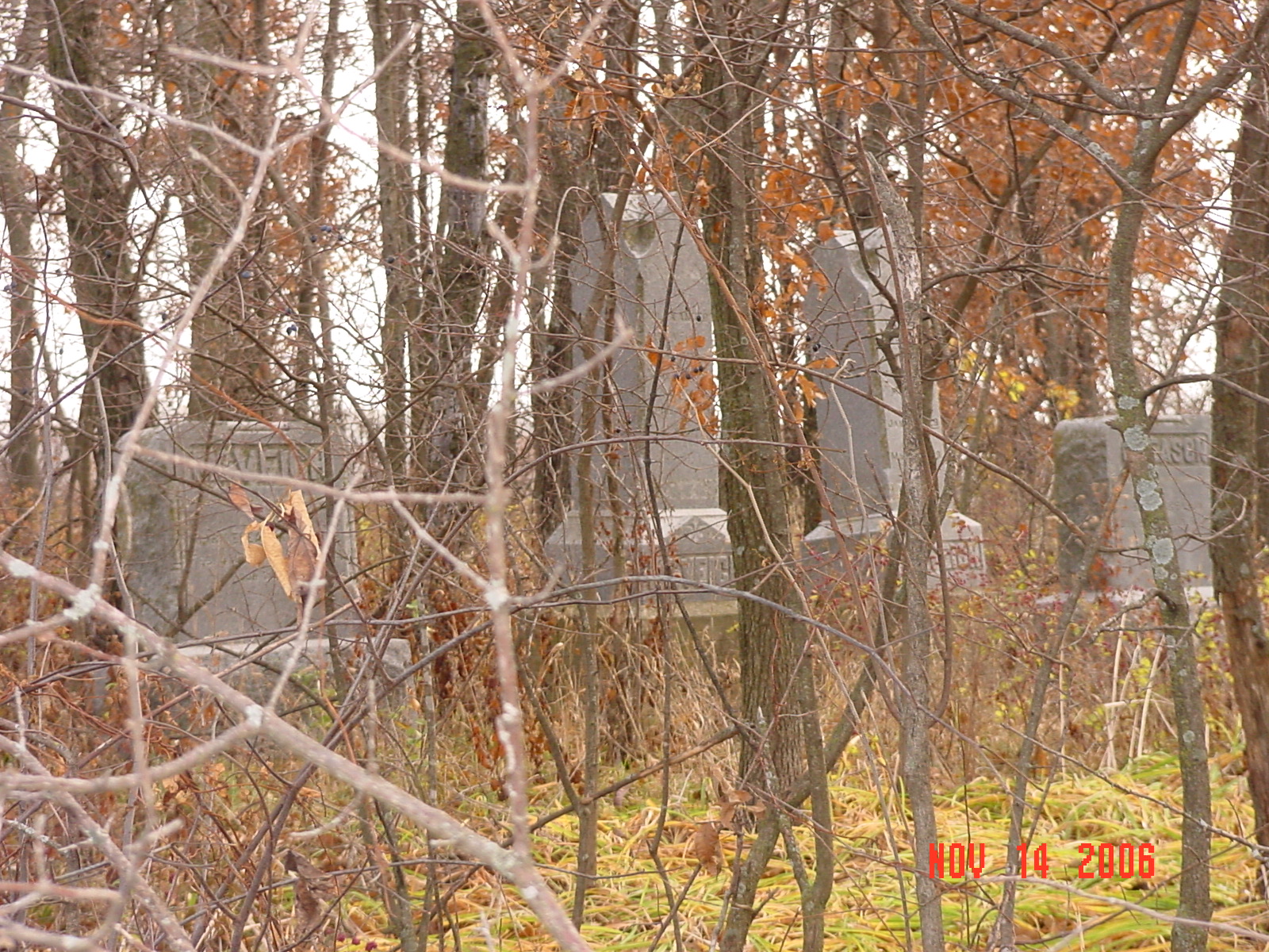
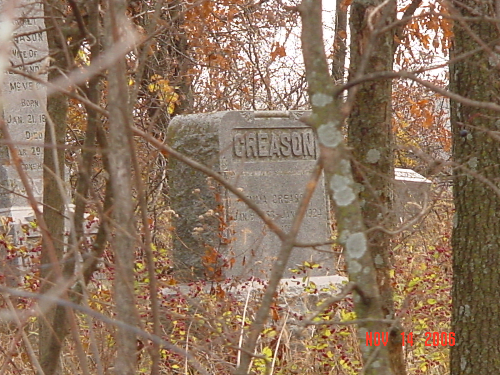
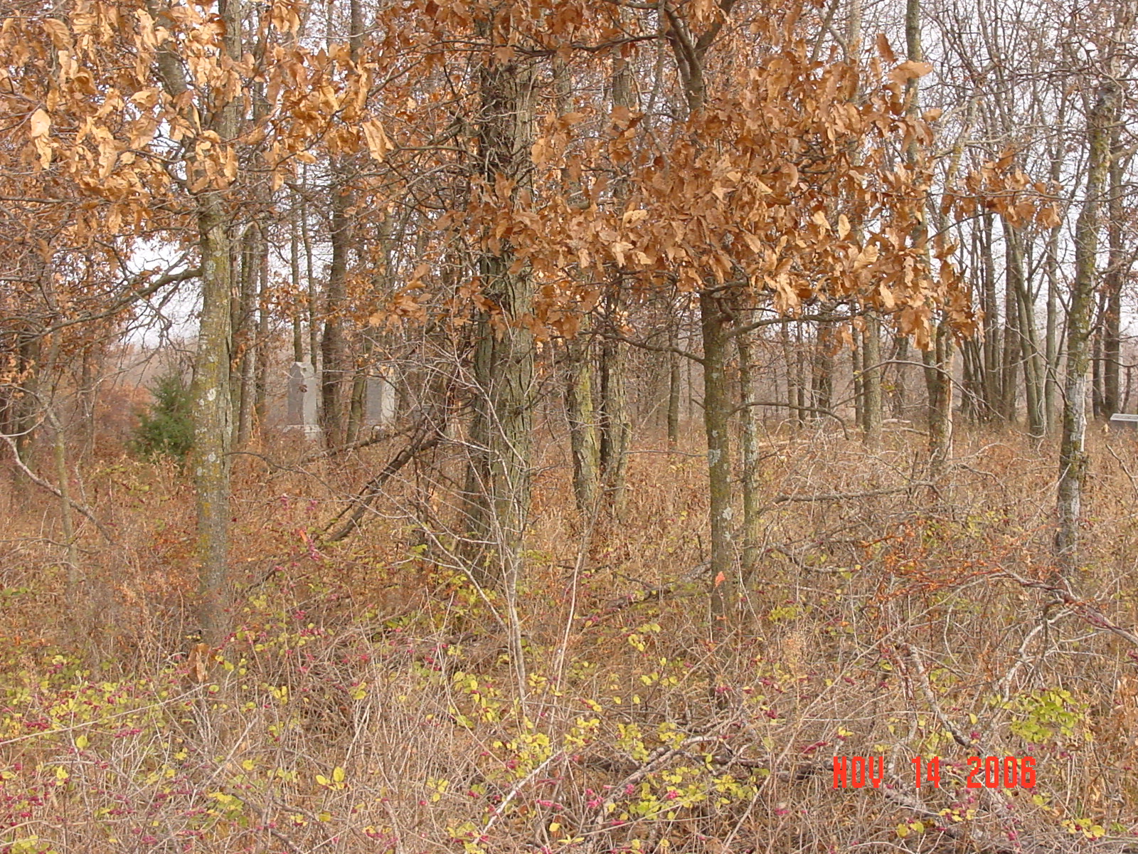
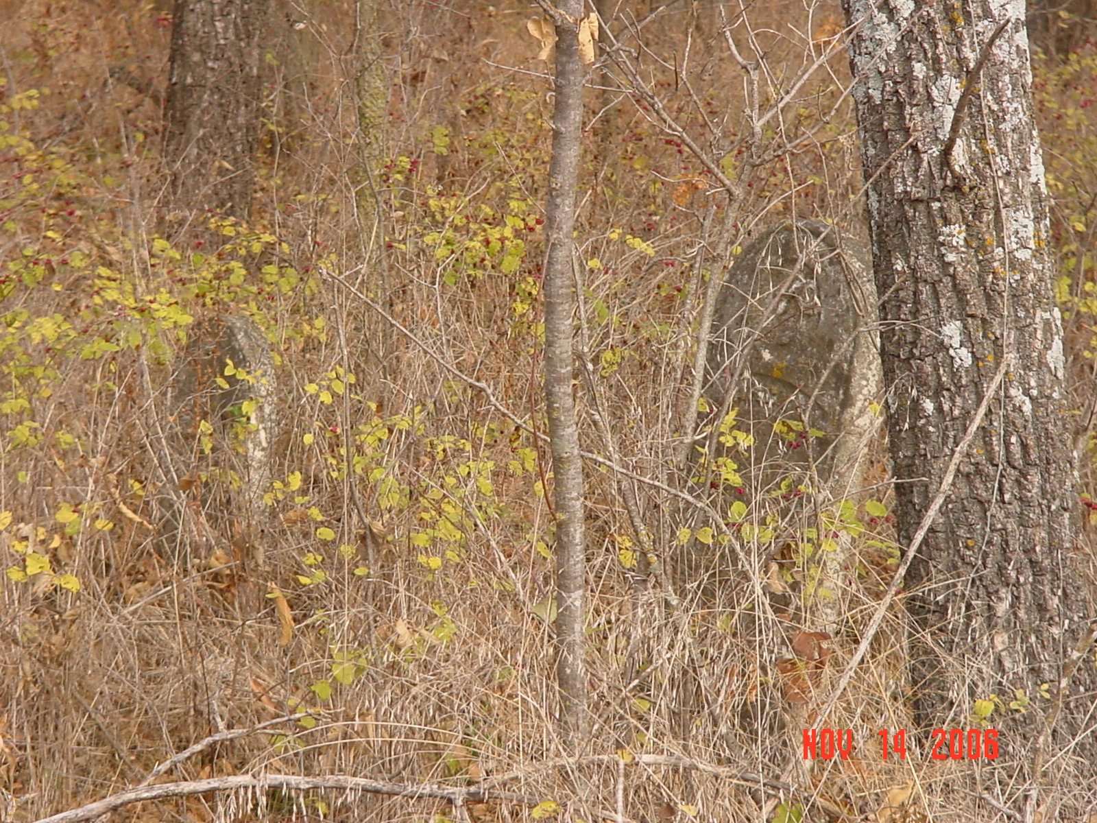
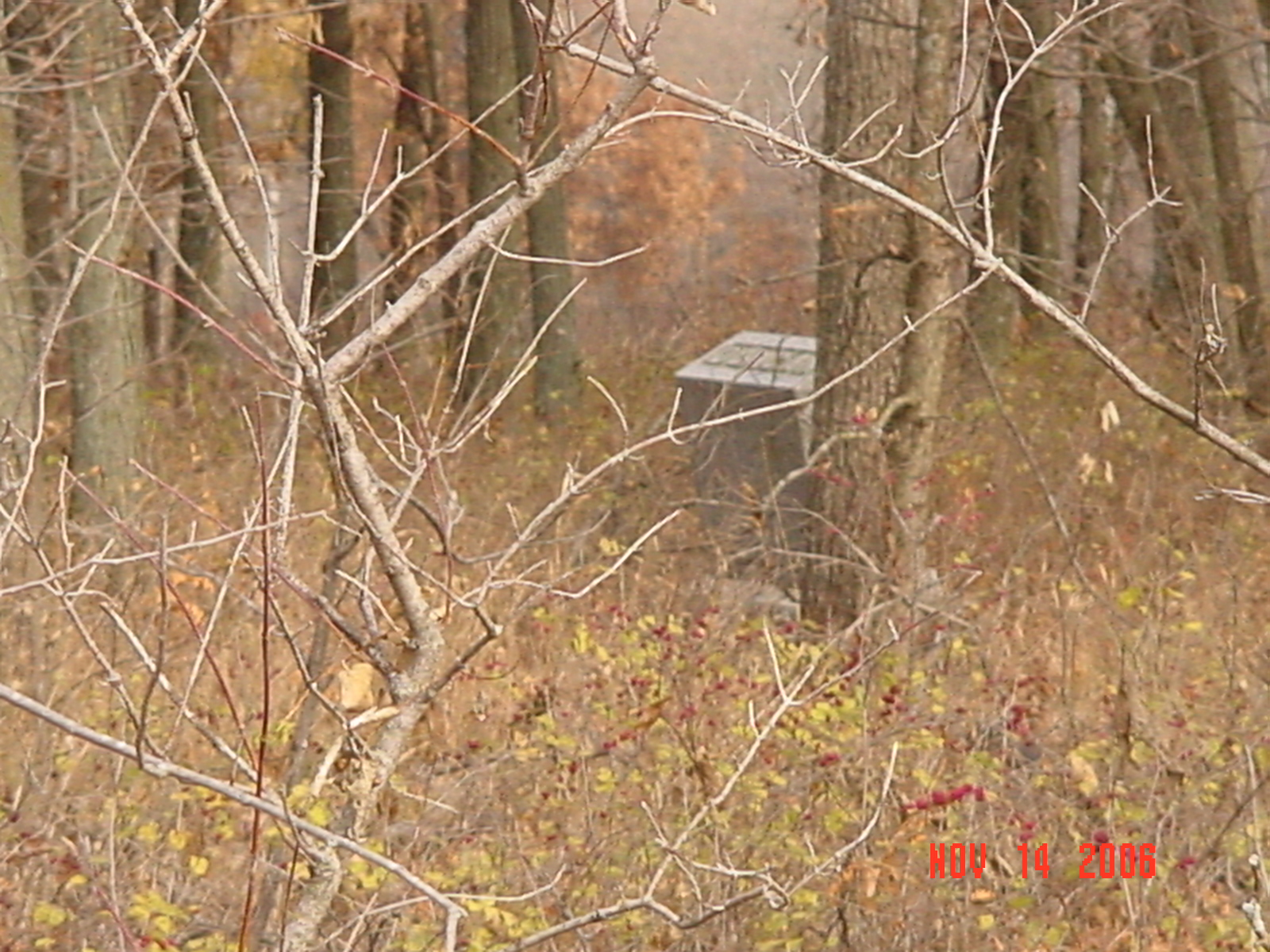
From Highway 13 turn east on East Price Road (Ray-Caldwell County line). Drive 2.25 miles and turn south on Raines Road. Drive 3/10 mile. Cemetery is located about 100 yards west of the road in the middle of a cattle pasture. The cemetery is fenced but is heavily grown over with brush and weeds. There is a green cemetery sign beside the road. DAR Index: Located on Raines Road, 3/10 mile south of Price Drive (county line), on the west side of the road 100 yards into the field.; aka Hunt Cemetery Notes: on CR64 .3 miles south of CR108 (county line) on west side of the road 100 years in the field. SW1/4NW1/4 Section1. Knoxville Twp. On Stump property. Death certificate for Emma Creason indicates she was buried in Broady Cemetery; her gravestone is in McVeigh Cemetery. |
compiled by Elizabeth Prather Ellsberry, Juliette L. Smith and Mrs. Carlton Richardson
Copied: April 1971; This cemetery is in terrible shape. v. 2. Cummins, Holder, Kincaid, Knoxville, Linville, McVeigh, Petree, Petty, Rainwater, Sandals [Thomson], Sylar, Teegarden, Van Bebber, Yoakum cemeteries |
FHL 977.819 V3e v. 1-2 |
 |
 |
 |
 |
 |
 |
 |
 |
 |
Transcription:
Ray County Home Page | MoGenWeb | USGenWeb | WorldGenWeb | E-Mail County Coordinator
To add additional information relating to Ray County, Missouri Genealogy, E-Mail the county coordinator.
since November 11, 2006
Last Updated