|
 |
|
|
|
|
#513
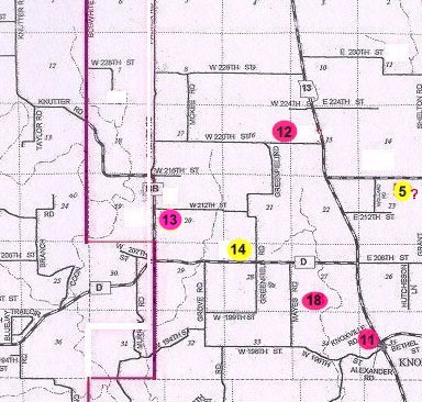
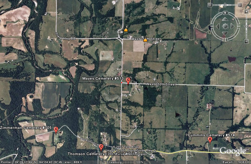
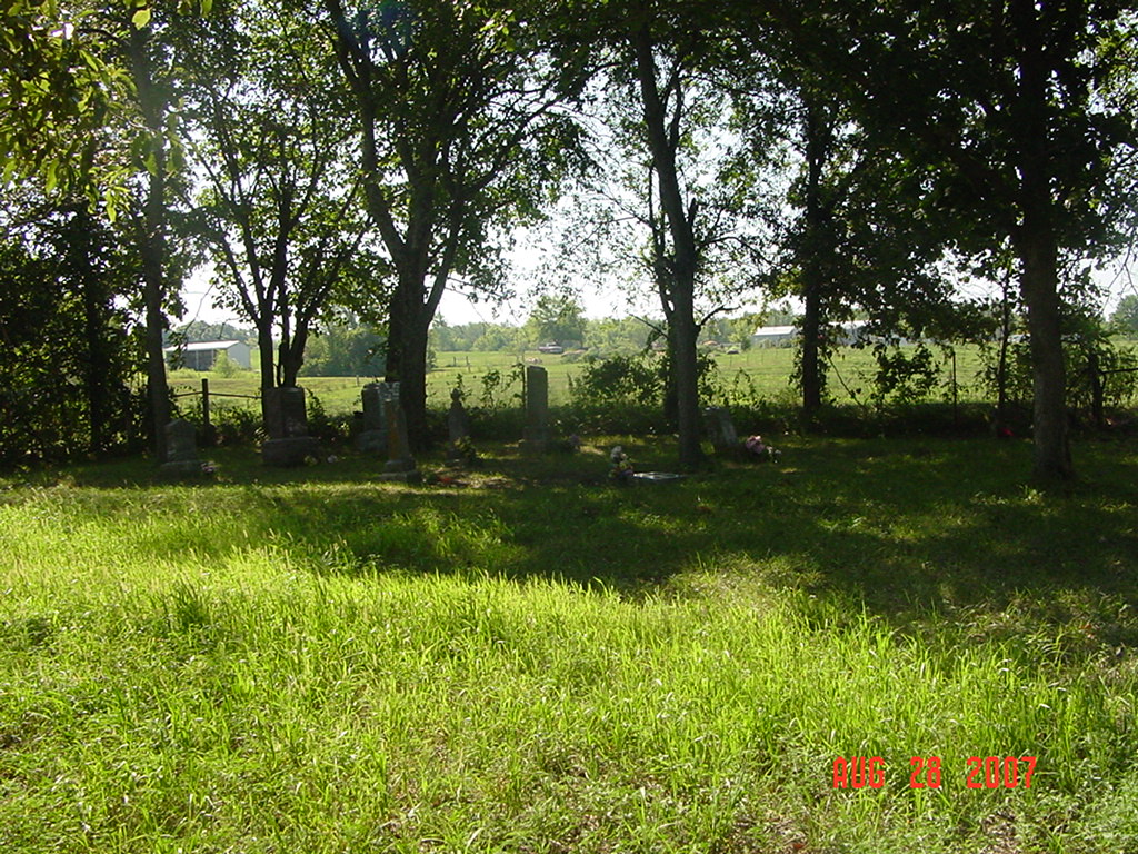
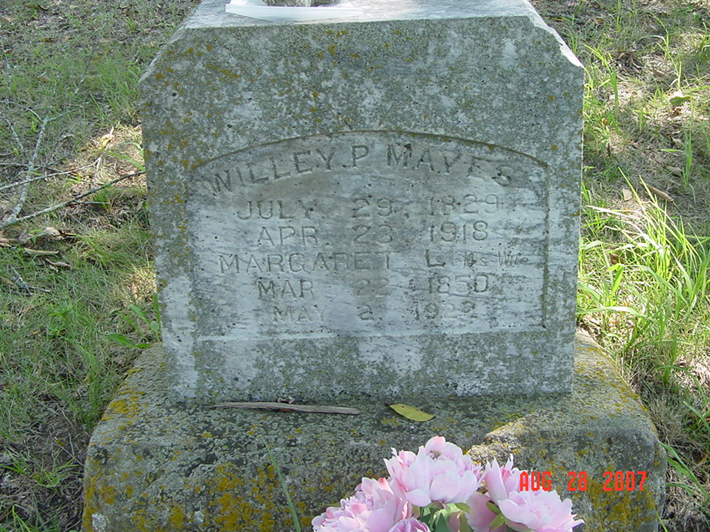
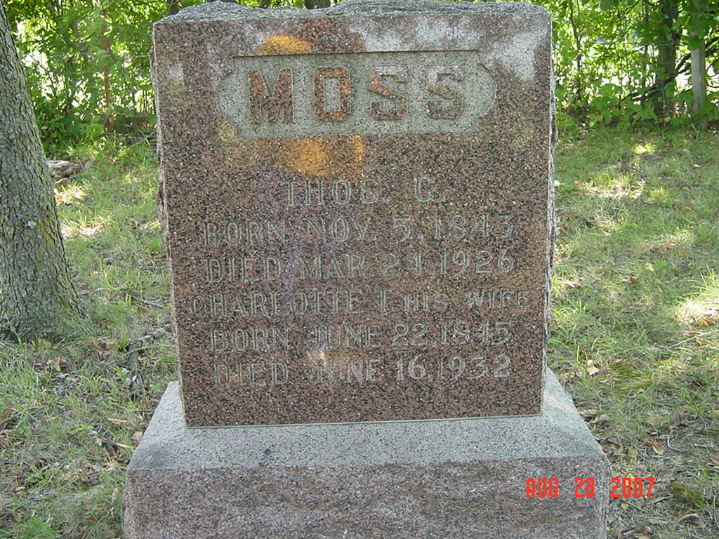
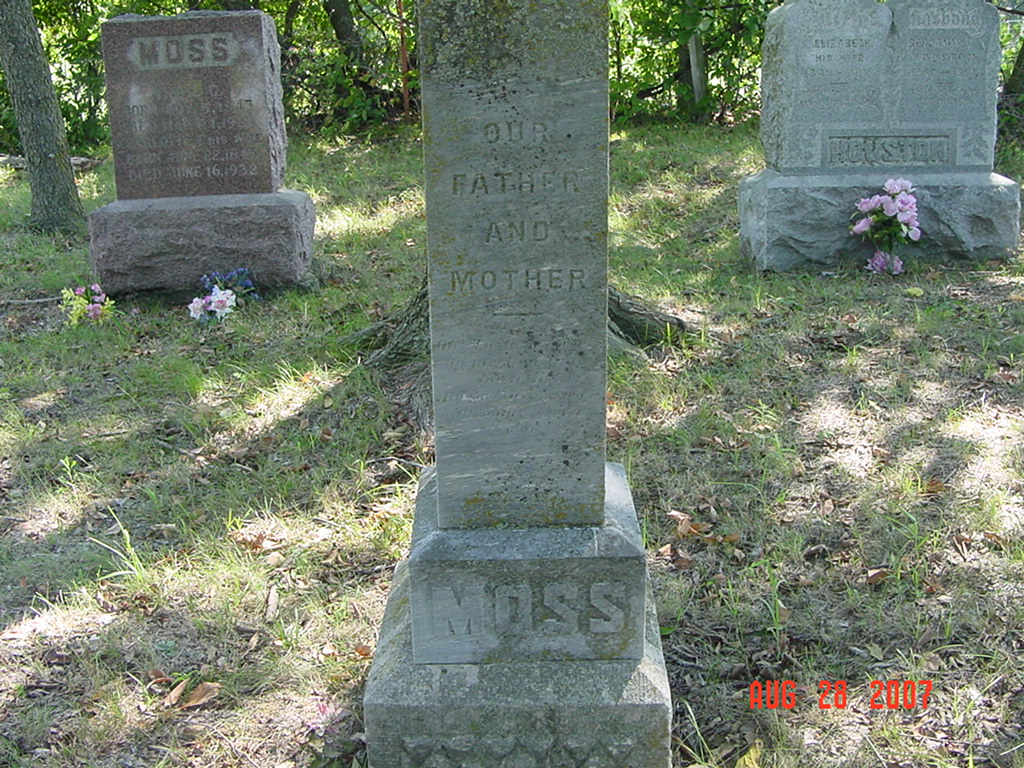
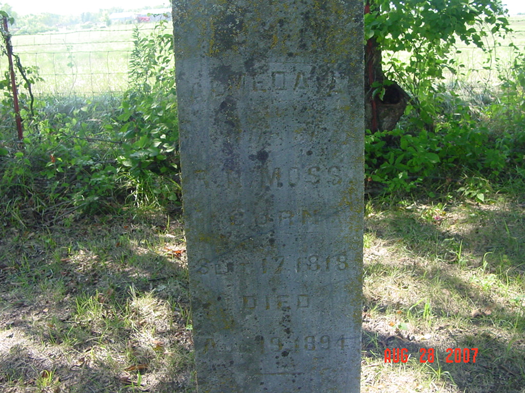
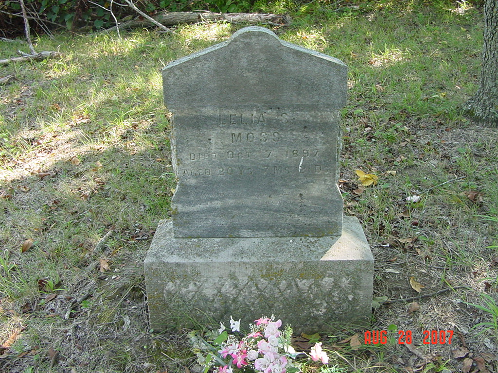
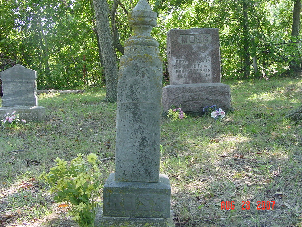
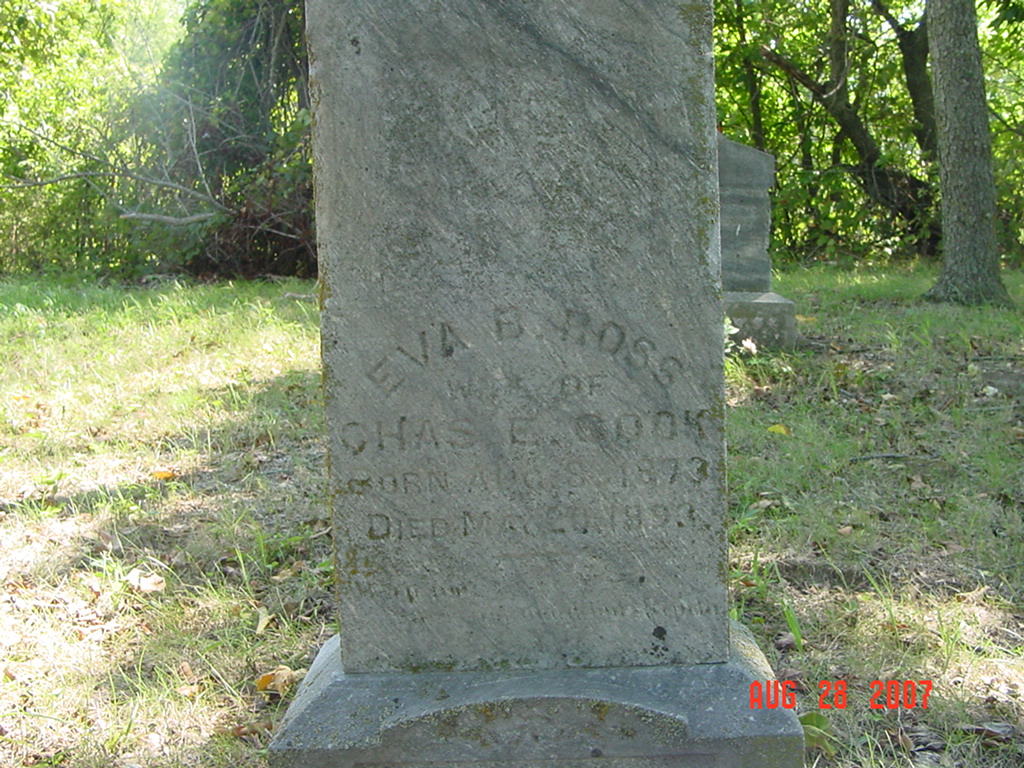
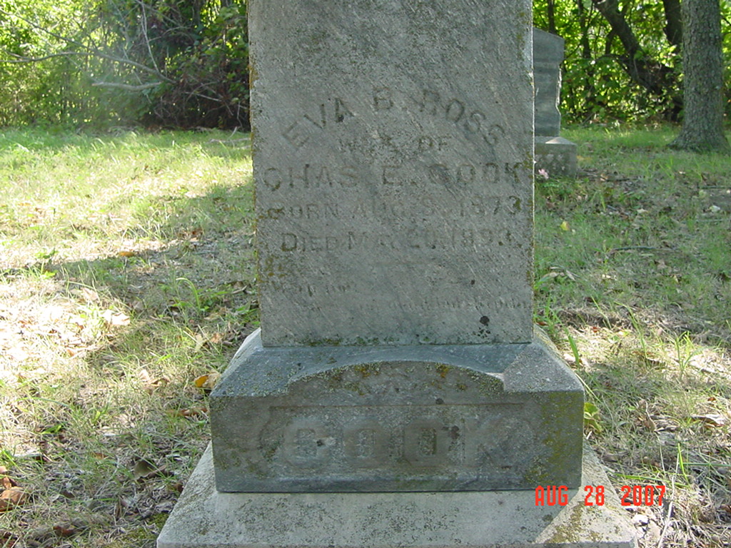
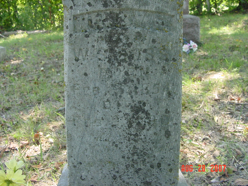
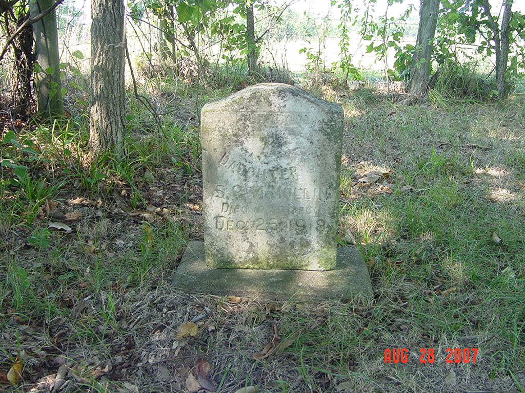
Mayes Cemetery (aka Moss Cemetery) Knoxville Township |
||
Ray County Cemeteries - Web Page
|
#13 on Knoxville Township Map |
||||
| Mayes Cemetery
(aka Moss Cemetery) |
#13 on Knoxville Township Map |
Latitude: Longitude: |
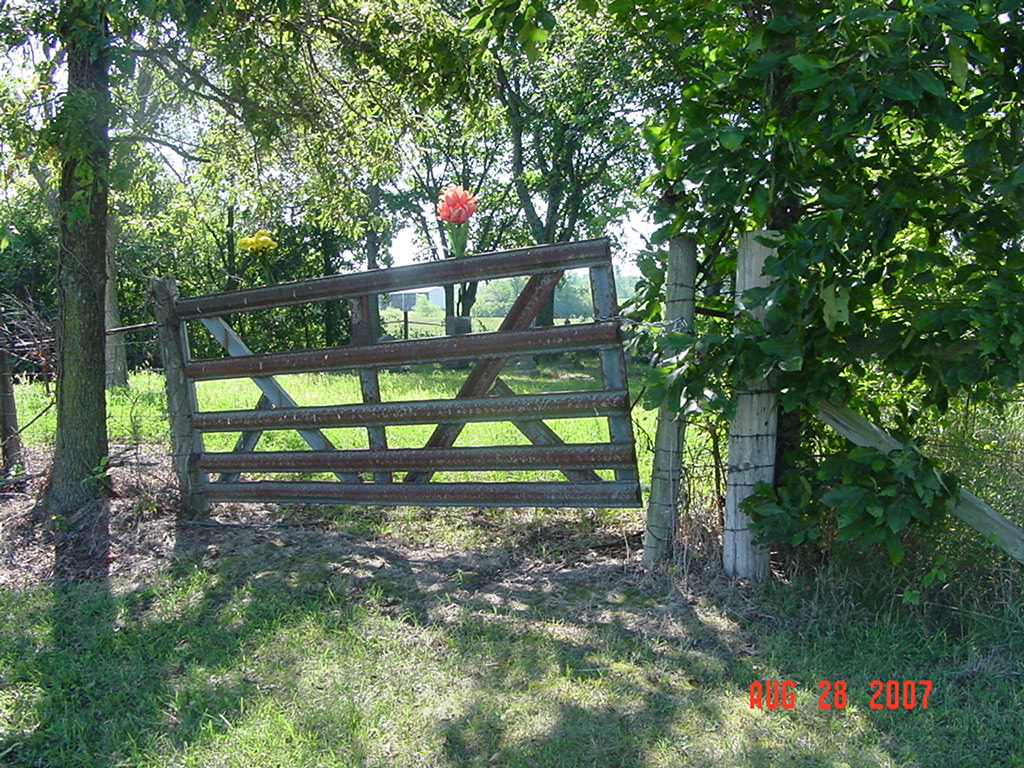
Turn east off of BB Highway onto W. 212th Street. Travel about 125 yards to the cemetery gate located on the south side of the road. Cemetery is fenced and well maintained (2007).
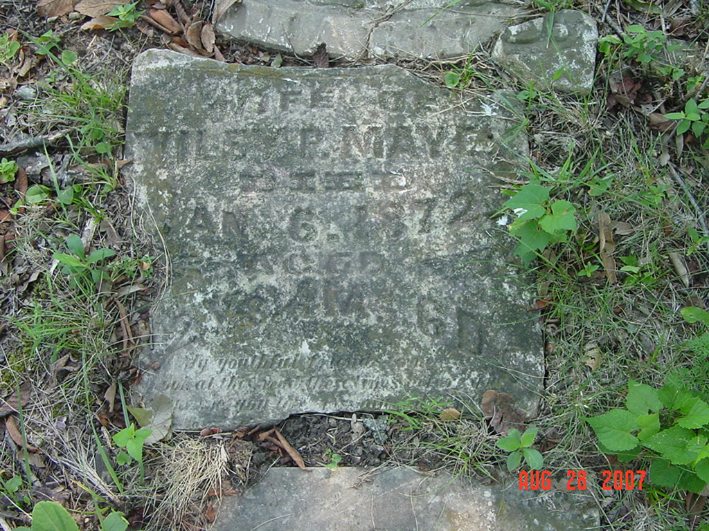
DAR Index: Mayes Cemetery I - located in Knoxville Twp at 212th Street and Hwy BB Big Black Binder at Ray County Library in Richmond:Traveling east from Lawson on D road to the three mile lane where D road takes a slight jog, continue on D road east. Turn left at blacktop road BB. Traveling north on BB road about 7/10 of a mile. The cemetery is located right side of the blacktop road or east of BB. Turn right on narrow gravel road about 1/10 of a mile to entrance gate of the cemetery. This cemetery was called "Moss Cemetery" in obituary for Margaret Mayes |
Tree Climber Notes, v. 1, p. 20: Copied by Ruby Martin and Chris Willis | Ray REF 929.3 RAY |
 |
 |
 |
|
|
 |
 |
 |
 |
 |
 |
 |
 |
 |
 |
 |
 |
 |
Transcription:
Ray County Home Page | MoGenWeb | USGenWeb | WorldGenWeb | E-Mail County Coordinator
To add additional information relating to Ray County, Missouri Genealogy, E-Mail the county coordinator.
since November 11, 2006
Last Updated