|
 |
|
|
|
|
#508
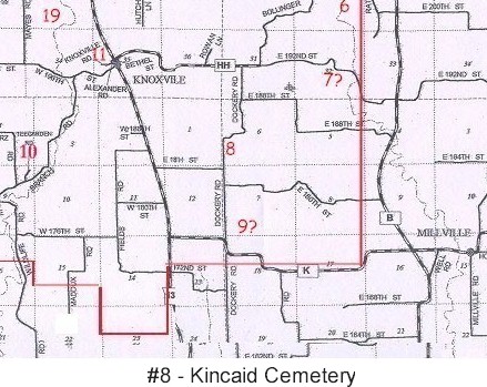
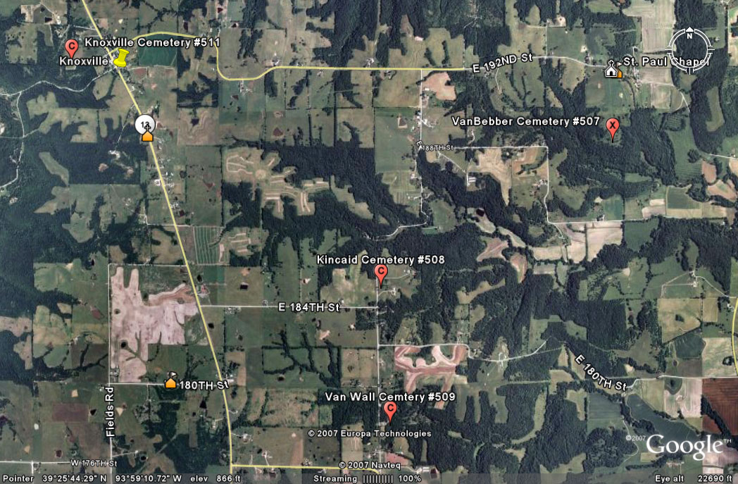
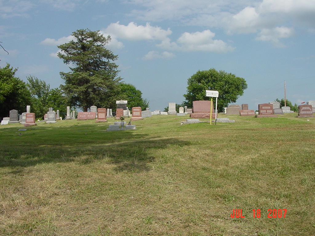
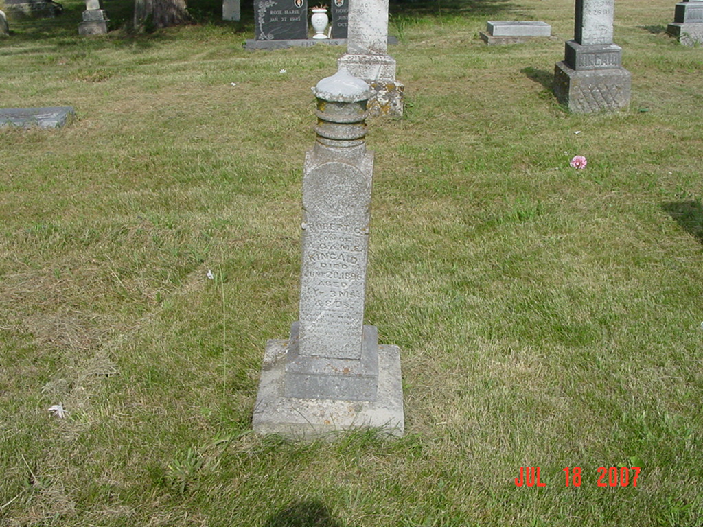
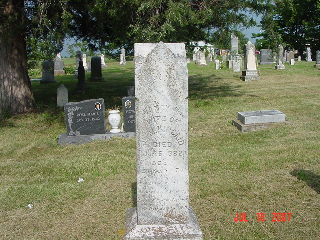
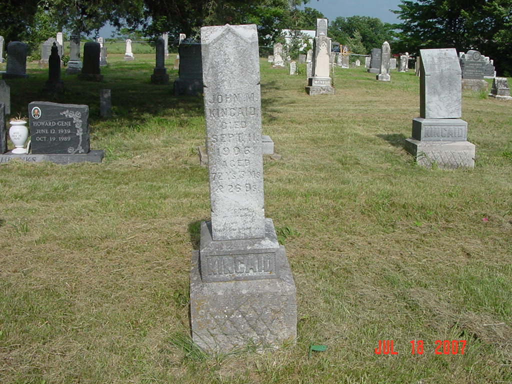
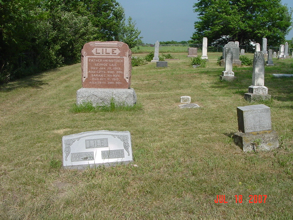
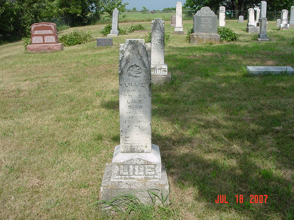
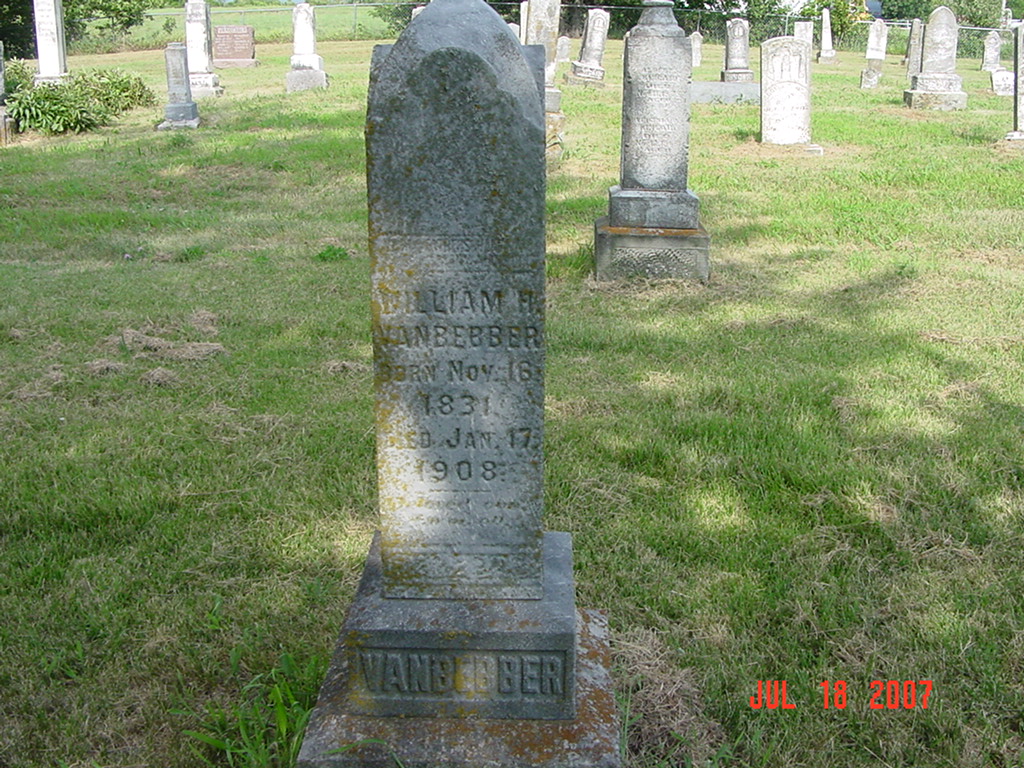
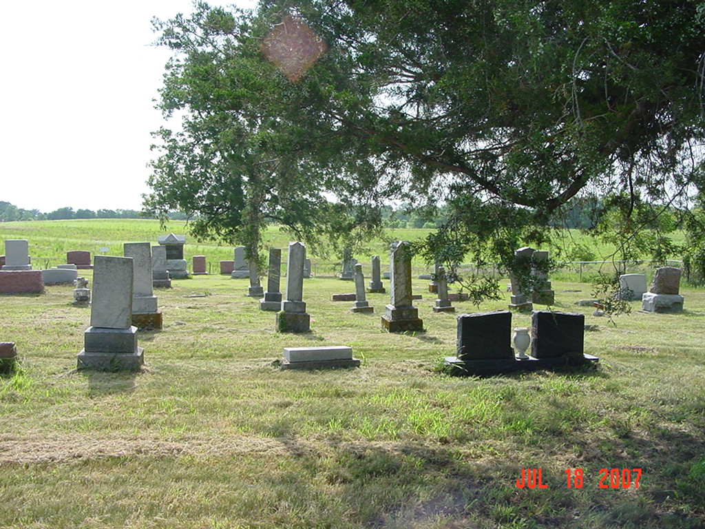
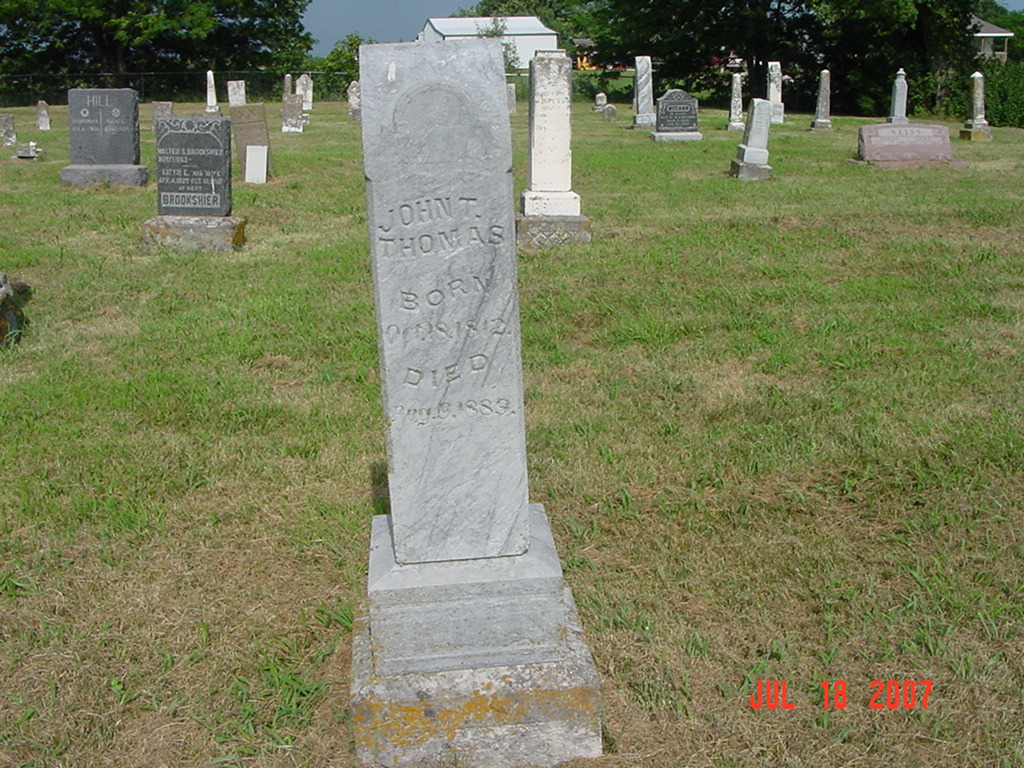
Kincaid Cemetery Knoxville Township |
||
Ray County Cemeteries - Web Page
|
#8 on Knoxville Township Map |
 |
||
| Kincaid Cemetery | #8 on Knoxville Township Map | Latitude: 39°25'29.00"N Longitude: |
Located one and a half mile south of Knoxville, Mo.; one mile east and one fourth mile north DAR Index: located in Knoxville Twp on Dockery Road, 1/10 mile north of E. 122nd Street[??], on the east side of the road |
compiled by Elizabeth Prather Ellsberry, Juliette L. Smith and Mrs. Carlton Richardson
Copied by Mrs. Carlton Richardson, Rayville, Mo. December, 1965 v. 2. Cummins, Holder, Kincaid, Knoxville, Linville, McVeigh, Petree, Petty, Rainwater, Sandals [Thomson], Sylar, Teegarden, Van Bebber, Yoakum cemeteries |
FHL 977.819 V3e v. 1-2 |
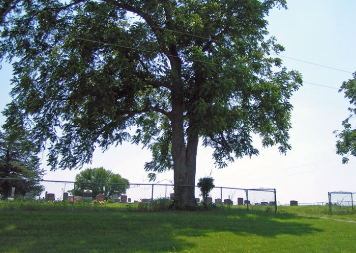
photo submitted by Jennifer Zunker |
 |
 |
 |
 |
 |
 |
 |
 |
 |
Transcription:
Ray County Home Page | MoGenWeb | USGenWeb | WorldGenWeb | E-Mail County Coordinator
To add additional information relating to Ray County, Missouri Genealogy, E-Mail the county coordinator.
since November 11, 2006
Last Updated