 |
 |
|
|
|
|
#516
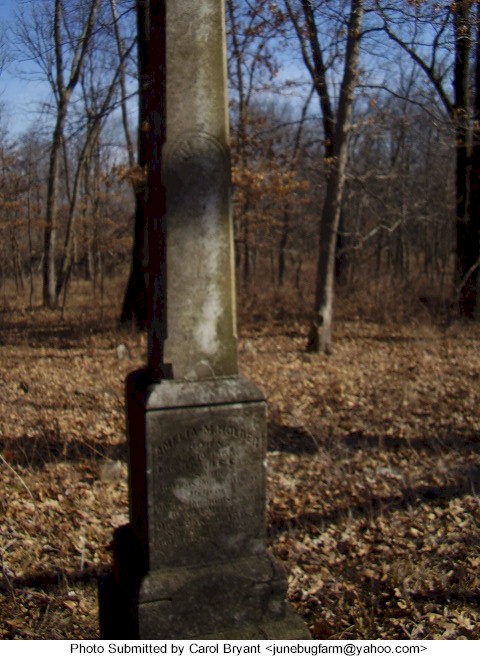
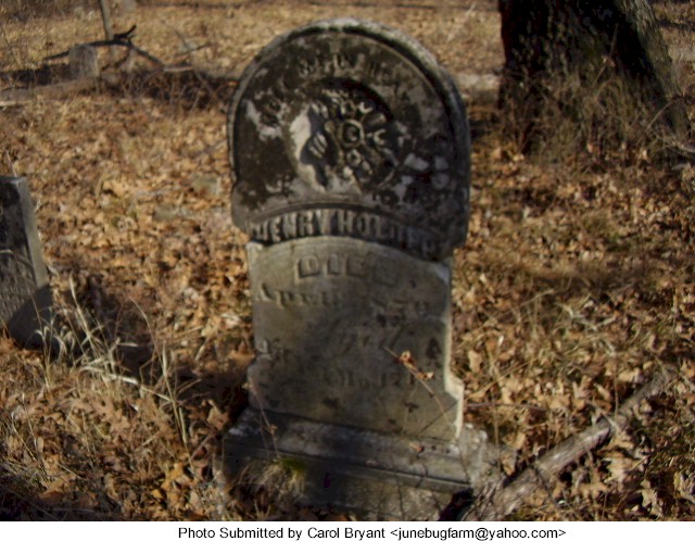
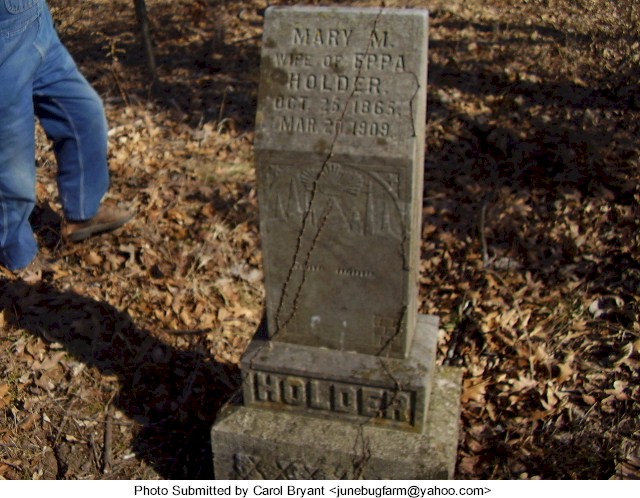
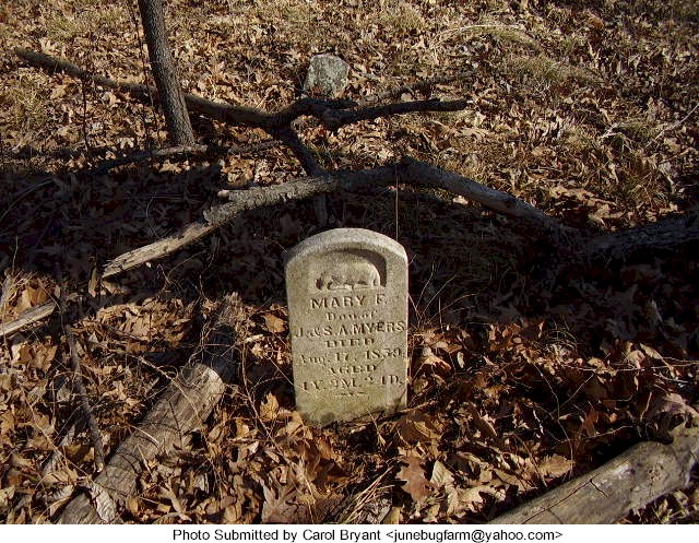
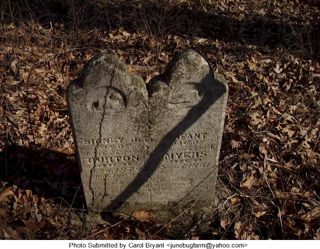
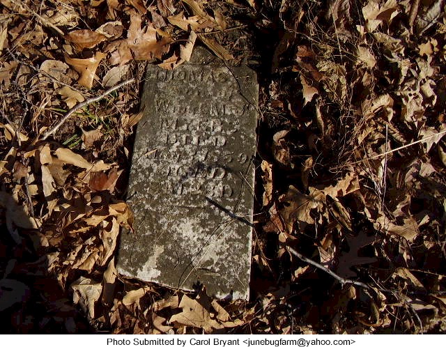
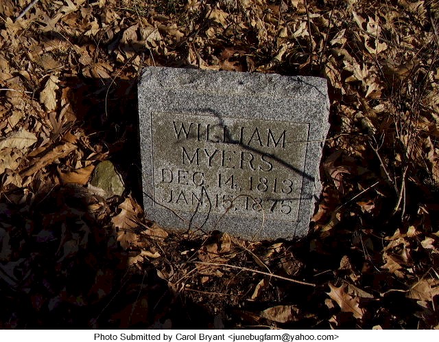
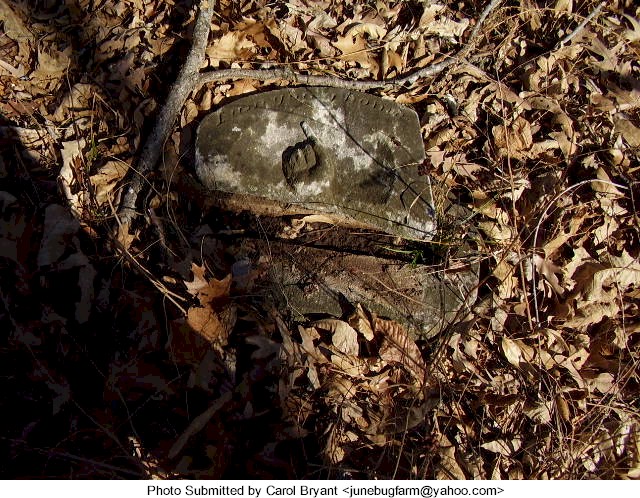
Holder-Myers Cemetery Knoxville Township |
||
Ray County Cemeteries - Web Page
 |
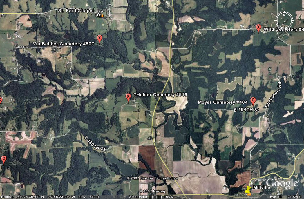
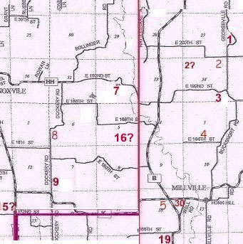
#16 on Knoxville Township Map |
 |
||
| Holder-Myers Cemetery |
#16 on Knoxville Township Map |
Latitude: Longitude: |
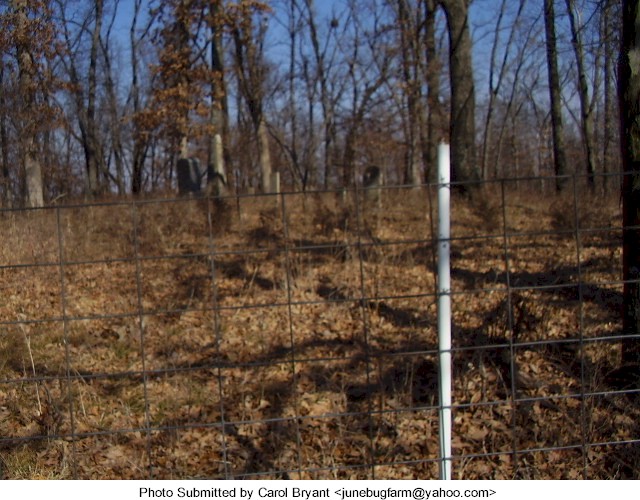
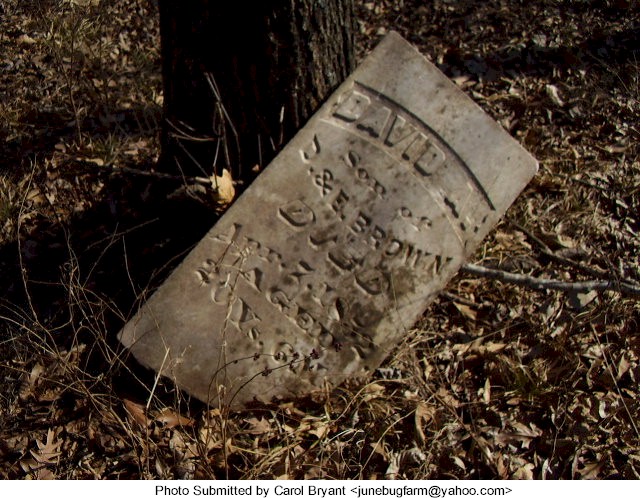
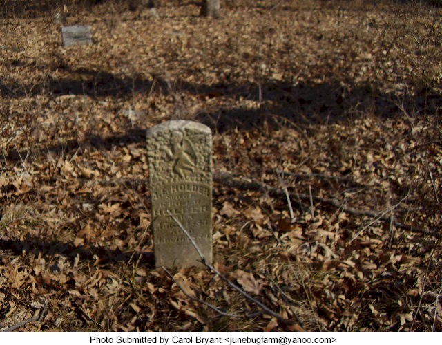
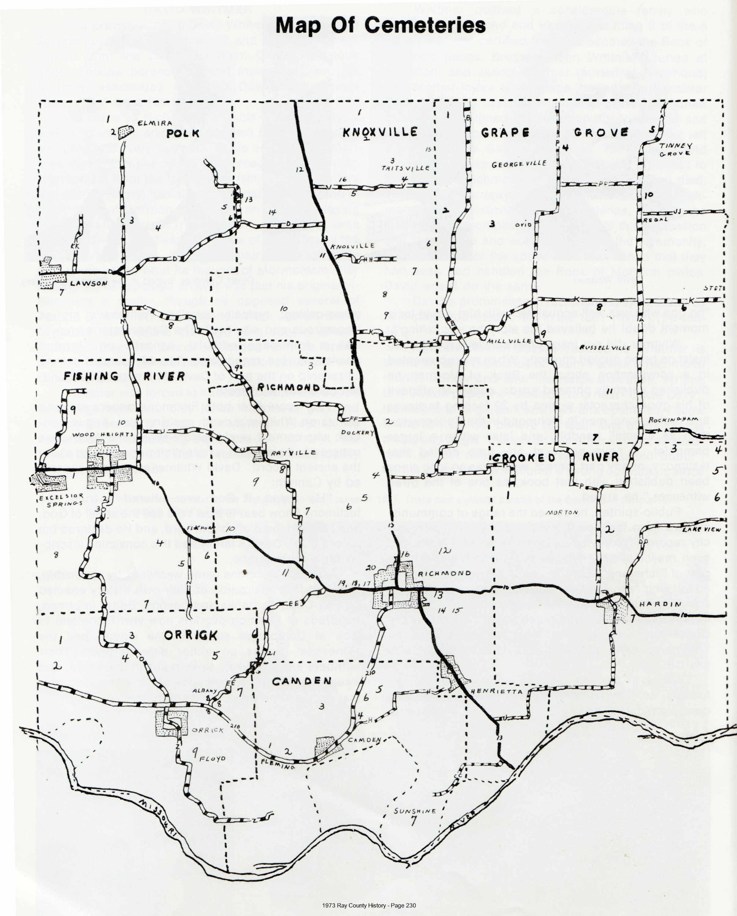
ON PRIVATE PROPERTY. Please be sure to obtain owner's permission! Ancestry.com: Located four miles east of Knoxville, Missouri 1973 Ray County History, p. 230: the map shows the location further west than the Section 24 above would indicate [I think the location in the 1973 History is incorrect] Big Black Cemetery Binder: located three miles north of Millville, on what is now known as the Lowell Hendrix farm Based on the directions in the Big Black Binder, the cemetery would be in T53R27S05. Lowell Hendrix owned the land in 1997 and 1976. Alexander Holder, who is buried in this cemetery, owned the land in 1897 and 1877. Go north on B highway to 184th Street and turn west up a long gravel drive to a private residence owned by a family named Hendrix. It is back in a cow pasture up on a hill and is fenced but overgrown. |
compiled by Elizabeth Prather Ellsberry, Juliette L. Smith and Mrs. Carlton Richardson
Copied by: Mrs. Carlton Richardson, Route 1, Rayville, Missouri v. 2. Cummins, Holder, Kincaid, Knoxville, Linville, McVeigh, Petree, Petty, Rainwater, Sandals [Thomson], Sylar, Teegarden, Van Bebber, Yoakum cemeteries |
FHL 977.819 V3e v. 1-2
Genealogy Trails Transcription online Ray REF 929.3 RAY |
 |
 |
 |
 |
 |
 |
 |
 |
 |
 |
 |
 |
 |
Transcription:
Ray County Home Page | MoGenWeb | USGenWeb | WorldGenWeb | E-Mail County Coordinator
To add additional information relating to Ray County, Missouri Genealogy, E-Mail the county coordinator.
since November 11, 2006
Last Updated