|
 |
|
|
|
|
#418
Tinney Grove Cemetery Grape Grove Township |
||
Ray County Cemeteries - Web Page
|
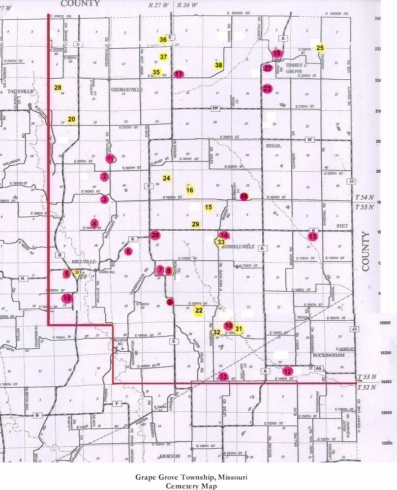
#18 on Tinney Grove Township Map |
 |
||
| Tinney Grove Cemetery |
#18 on Tinney Grove Township Map |
Longitude: 93°48'18.00"W Latitude:39°30'24.00"N T54R26S10 |
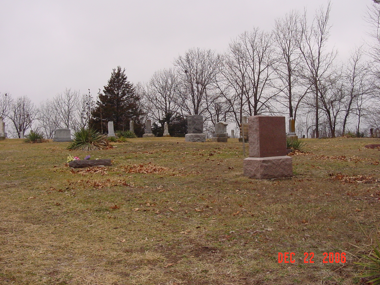
Located at Tinney Grove, Missouri, on Hwy 'A' 1.5 miles south of the Ray and Caldwell county line or 17.5 miles north of Hardin on 'A'. Cemetery is located at the end of Ball Lane on the north side of Hwy 'A'. about 254 marked graves (1993) Cemetery is well maintained. DAR Index: located on Route A, 1-1/2 miles south of the Caldwell/Ray County line. Cemetery is 1/2 mile north of the road. 1973 Ray County History: Tinney Grove Cemetery, located in the east part of the county on Route A, was established during the Civil War period. The land was donated by the Tinney family. Among the first families to be buried here are Tinneys and Divelbiss. In recent years the road leading to the cemetery was cleared of brush and graveled. The cemetery is maintained by a trust fund and donations. Gene Davis is president and Vern Leslie, secretary-treasurer. |
compiled by Elizabeth Prather Ellsberry, Juliette L. Smith and Mrs. Carlton Richardson
v. 1. Antioch, Belt, Bethel, Little Union, Millville Community, New Hope, Penniston, Pleasant Hill, Smith, Tinney Grove cemeteries |
GTT Transcription online
FHL 977.819 V3e v. 1-2 Lookups by Virginia Burke |
| Cemeteries of Grape Grove Township, January 1995; compiled by Al McKemy, 10 Nov 1993 - 10 Dec 1993 | MC 977.819 M195c AFRA |
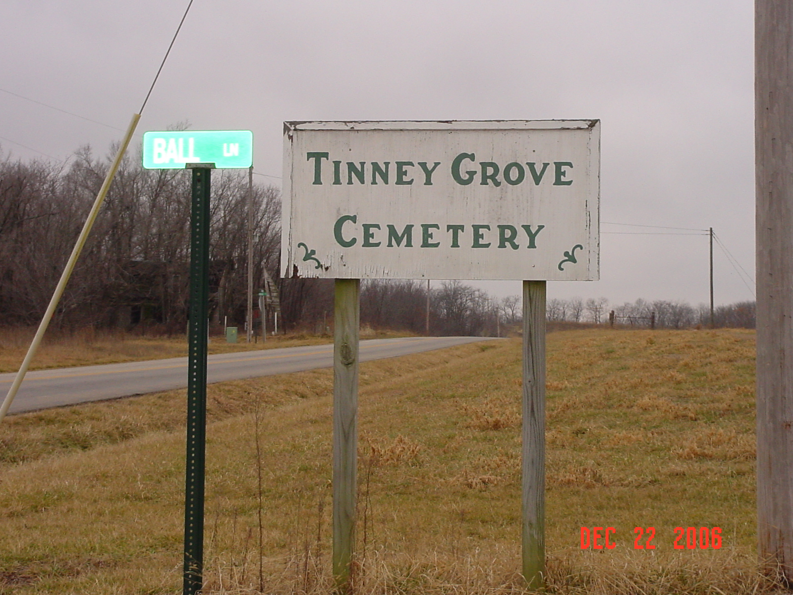
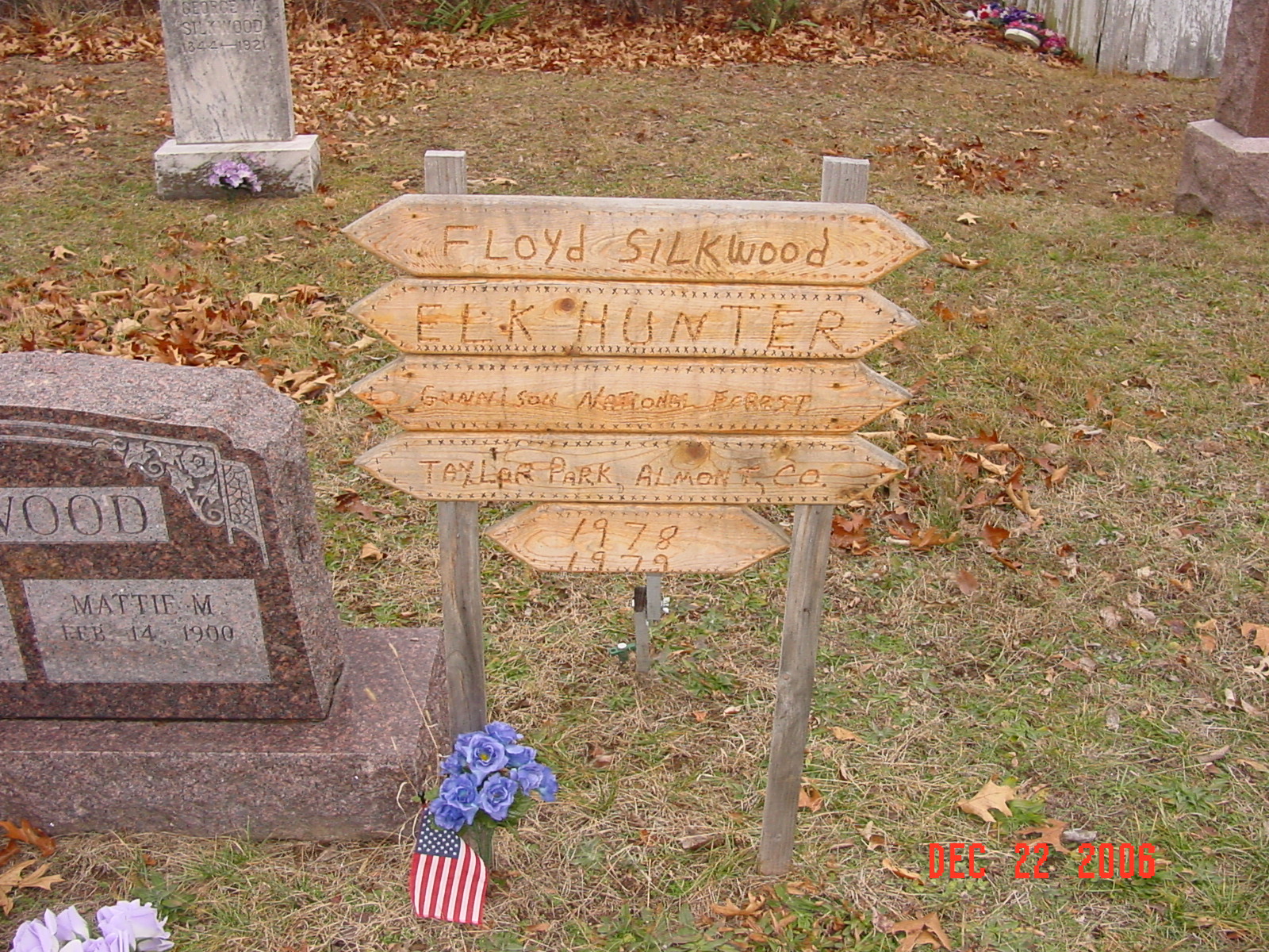
photo submitted by Jennifer Zunker |
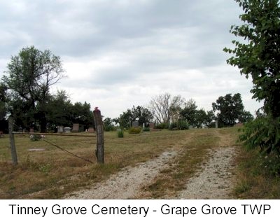
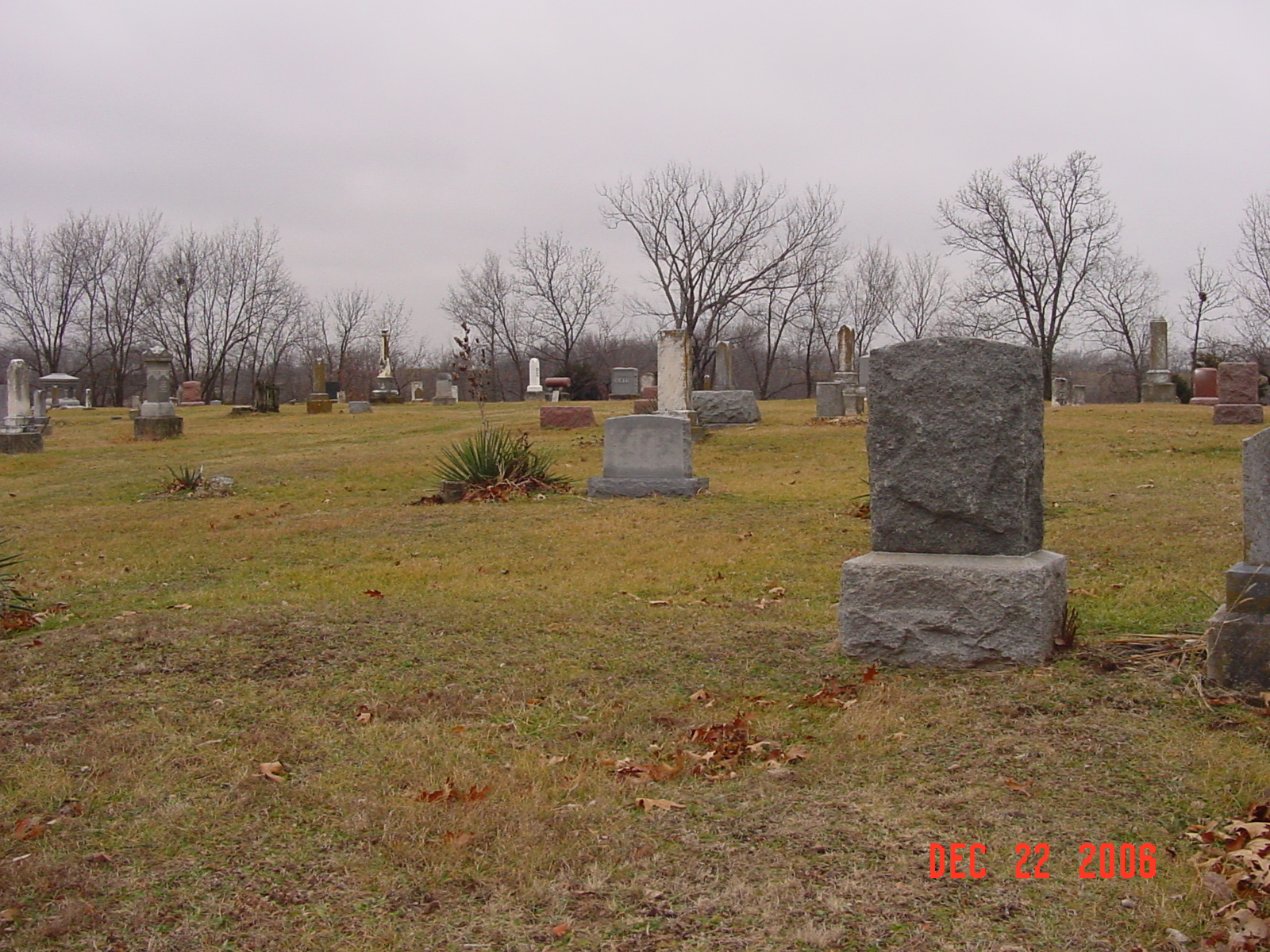
photo submitted by Jennifer Zunker |
||
 |
 |
 |
 |
Transcription:
Ray County Home Page | MoGenWeb | USGenWeb | WorldGenWeb | E-Mail County Coordinator
To add additional information relating to Ray County, Missouri Genealogy, E-Mail the county coordinator.
since November 11, 2006
Last Updated