|
 |
|
|
|
|
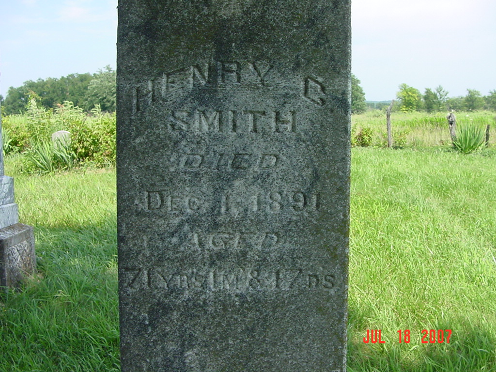
#407
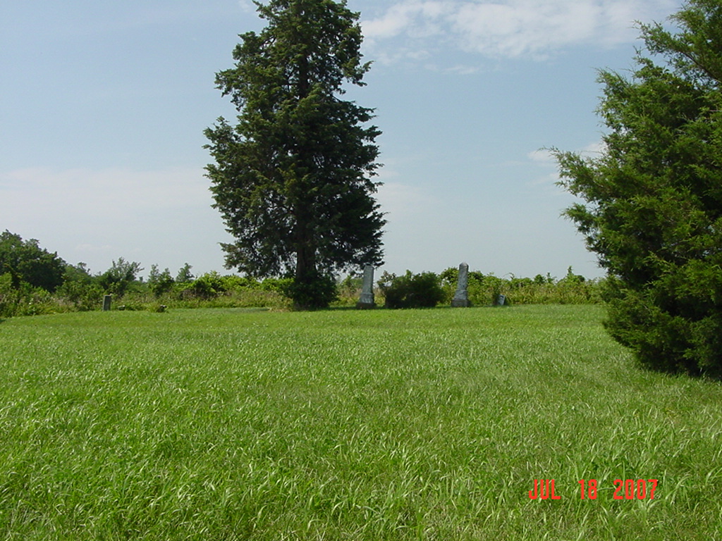
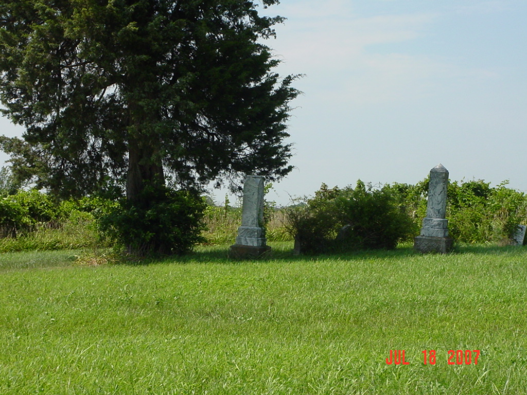
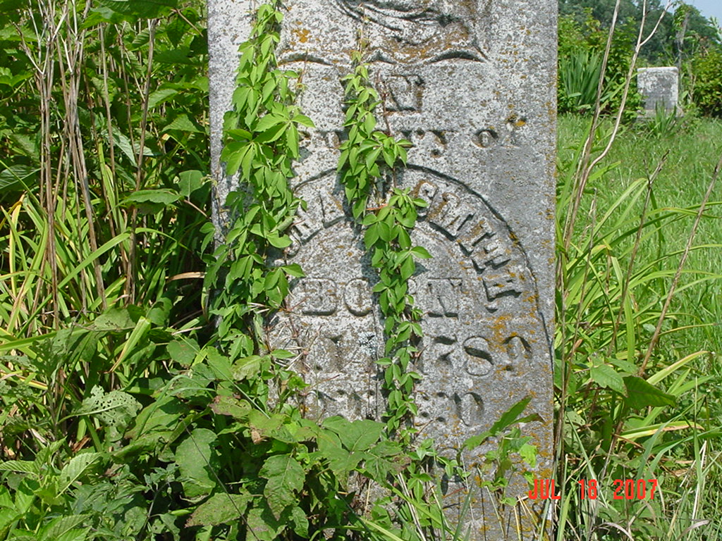
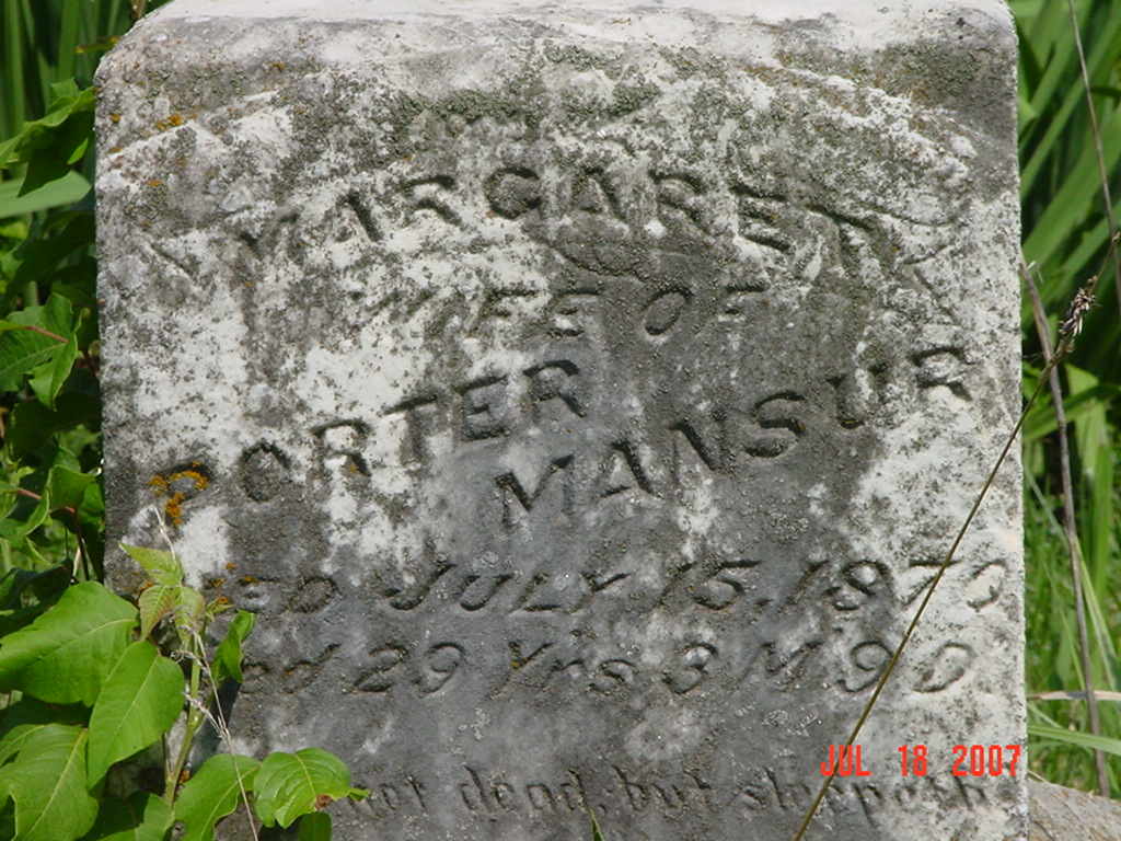
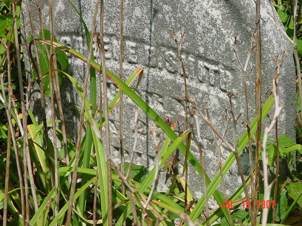
Smith Family Cemetery Grape Grove Township |
||
Ray County Cemeteries - Web Page
|
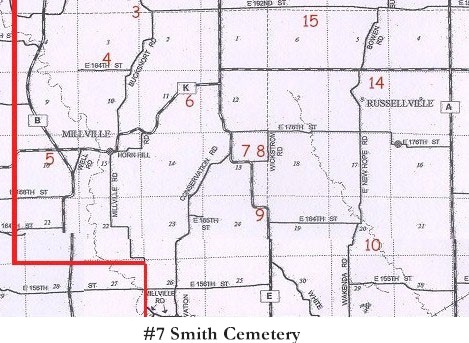
#7 on Grape Grove Township Map |
 |
||
| Smith Family Cemetery | Grape Grove Township |
Latitude: Longitude: T53R27S13; SE1/4 NW1/4 |
2 miles east of Millville on 'K' to 'E' and 1-1/2 miles south on 'E' at curve; north side of road; well kept cemetery; ?slaves buried around cemetery? 24 marked graves (1994)
Located two miles east of Millville, Mo. on Route K to P, then one mile and a half south on P LS notes: south of Glen Wickstrom is a black cemetery - no markers; it must be near the Smith Cemetery; Glen Wickstrom owned this property on the 1976 plat map |
compiled by Elizabeth Prather Ellsberry, Juliette L. Smith and Mrs. Carlton Richardson
v. 1. Antioch, Belt, Bethel, Little Union, Millville Community, New Hope, Penniston, Pleasant Hill, Smith, Tinney Grove cemeteries |
Ancestry.com data base online
Genealogy Trails Transcription online Ray REF 929.3 RAY FHL 977.819 V3e v. 1-2 |
|
| Cemeteries of Grape Grove Township, January 1995; compiled by Al McKemy, 26 Apr 1994 | MC 977.819 M195c AFRA | |||||
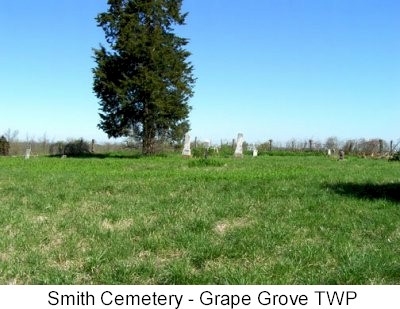
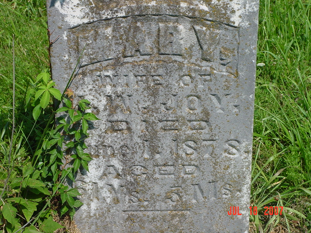
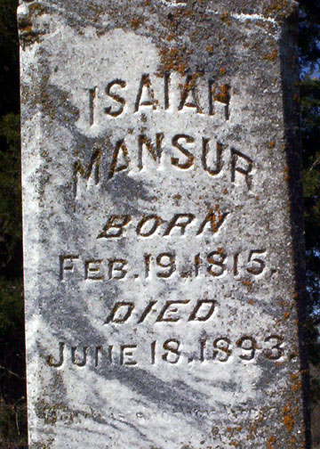
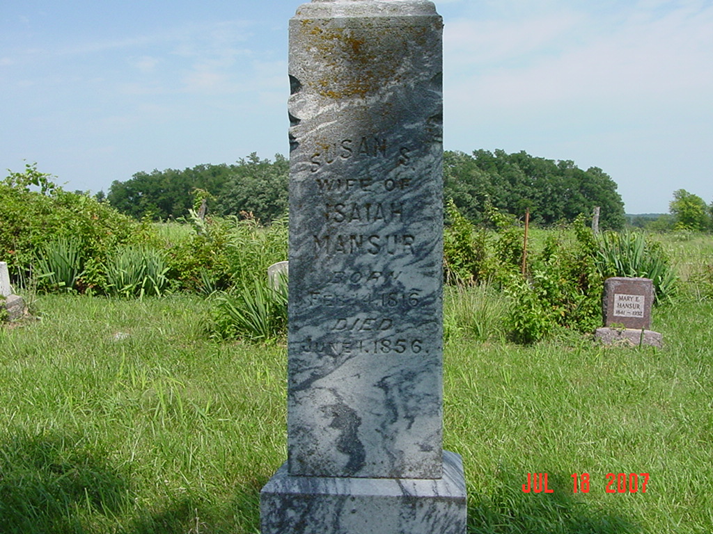
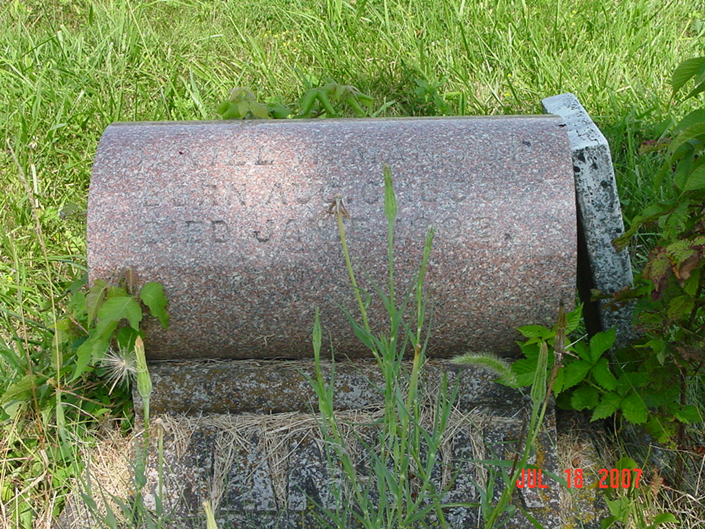
photo submitted by Jennifer Zunker |
 |
 |
 |
 |
 |
|
|
 |
 |
 |
 |
 |
 |
Transcription:
Ray County Home Page | MoGenWeb | USGenWeb | WorldGenWeb | E-Mail County Coordinator
To add additional information relating to Ray County, Missouri Genealogy, E-Mail the county coordinator.
since November 11, 2006
Last Updated