|
 |
|
|
|
|
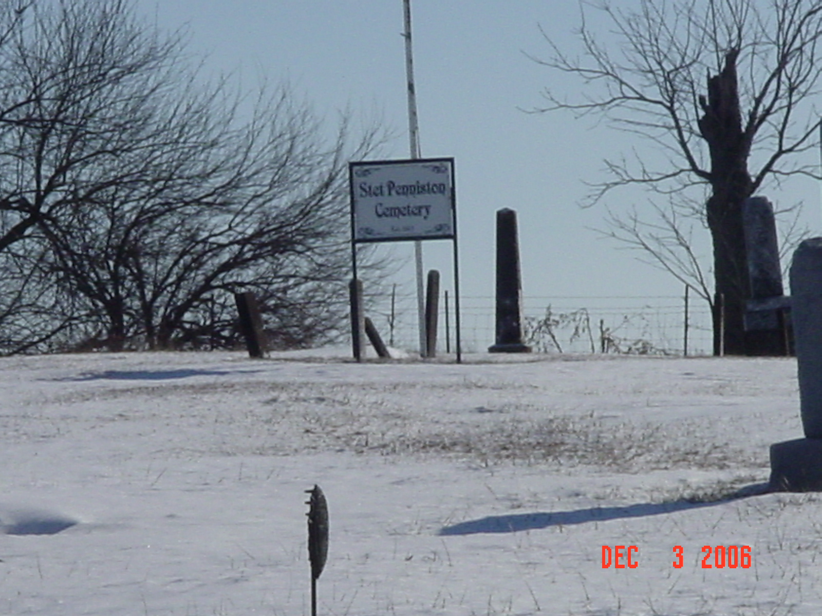
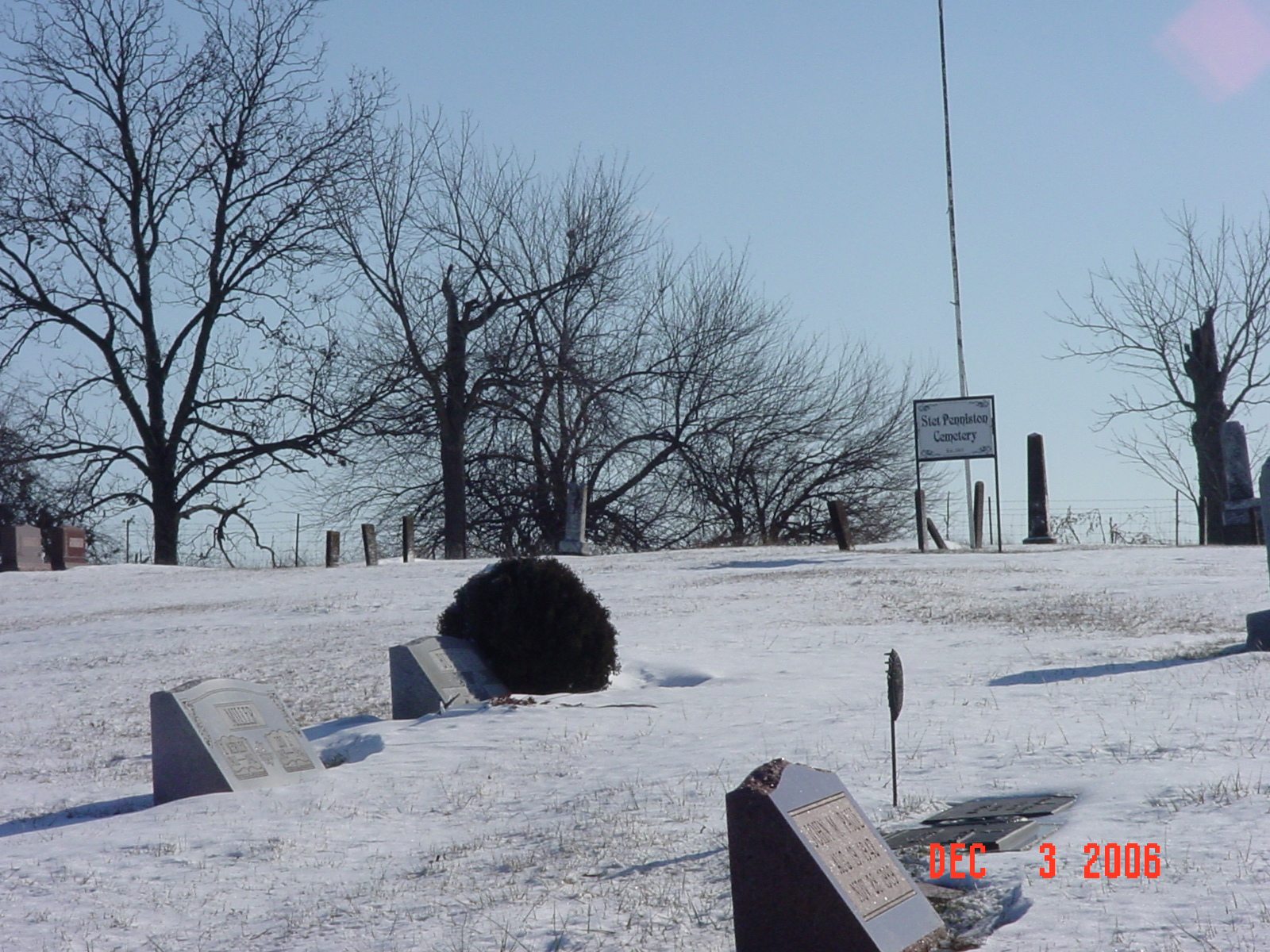
#413
Stet Penniston Cemetery Grape Grove Township |
||
Ray County Cemeteries - Web Page
|
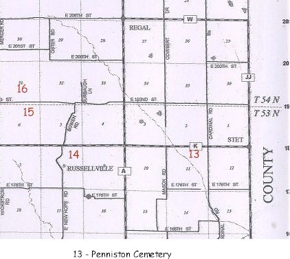
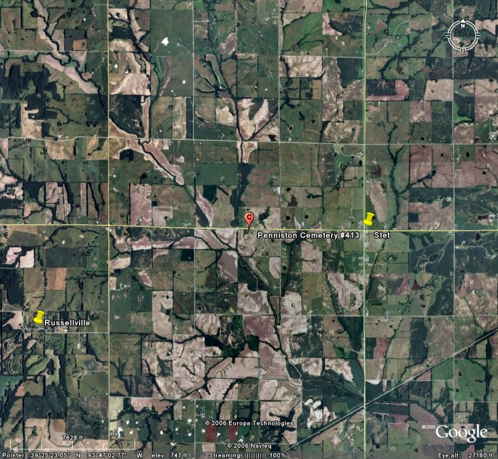
#13 on Grape Grove Township Map |
 |
||
| Penniston Cemetery
(aka Bethany Brethern) |
#13 on Grape Grove Township Map Stet |
Latitude: Longitude: T53R26S11 |
Located on Route K, one and one half mile from the Carroll and Ray County Line.
On route 'K' 1.6 miles east of 'A' or 0.6 miles east of county road 134 established 1864; 1 grave 1862; about 148 marked graves, 3 unmarked (1992) |
compiled by Elizabeth Prather Ellsberry, Juliette L. Smith and Mrs. Carlton Richardson
v. 1. Antioch, Belt, Bethel, Little Union, Millville Community, New Hope, Penniston, Pleasant Hill, Smith, Tinney Grove cemeteries |
Genealogy Trails Transcription online
FHL 977.819 V3e v. 1-2 |
|
| Cemeteries of Grape Grove Township, January 1995; compiled by Al McKemy, Dec 1992 | MC 977.819 M195c AFRA | |||||
 |
|
|
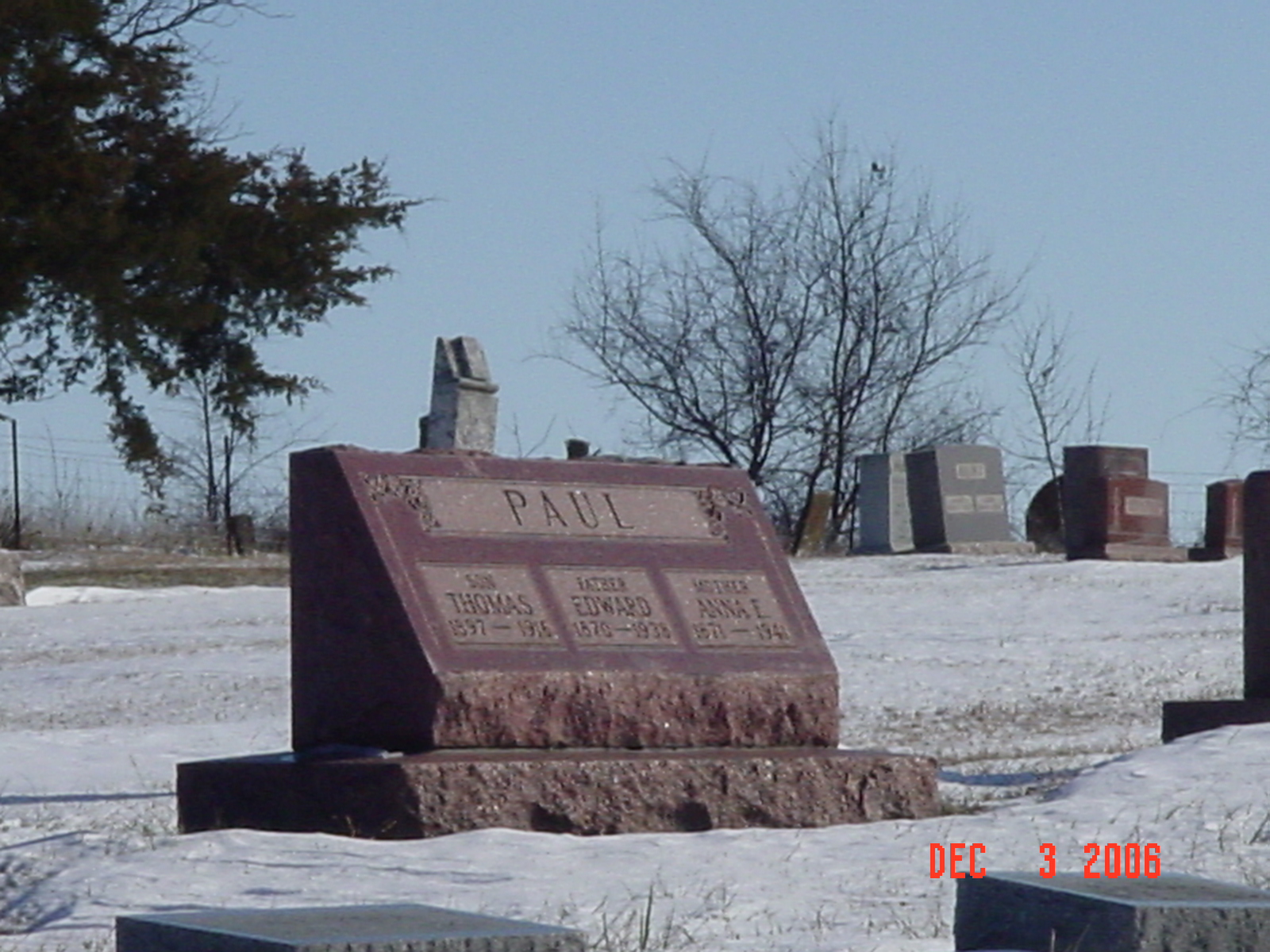
Paul |
Transcription:
Ray County Home Page | MoGenWeb | USGenWeb | WorldGenWeb | E-Mail County Coordinator
To add additional information relating to Ray County, Missouri Genealogy, E-Mail the county coordinator.
since November 11, 2006
Last Updated