|
 |
|
|
|
|
#404
Moyer Cemetery Grape Grove Township |
||
Ray County Cemeteries - Web Page
|
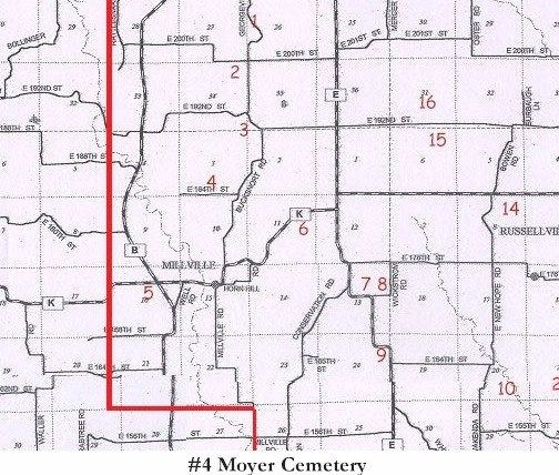
#4 on Grape Grove Township Map |
 |
||
| Moyer Cemetery |
#4 on Grape Grove Township Map |
Latitude: 39°25'28.93"N Longitude: 93°54'53.65"W T53R27S03 |
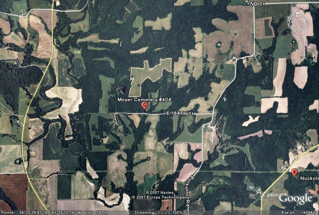
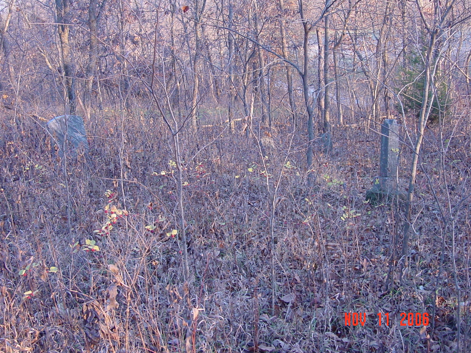
Turn west from Bucksnort Road onto 184th Street. Travel about one half mile along this gravel road. Just after the small creek, look for a small clearing on the north side of the road. There is black drain tile in the ditch. Graves are about 100 yards north of the road in a timber area. Only saw 3 graves but there was a lot of thick weeds and bushes (2006)
Grape Grove Cemeteries: north of Millville 1.4 miles on county road 100 to county road 83; west on county road 83 0.5 miles; on north side of road; in a timber ares; about 8 marked graves (1994) Ray County Library (big black cemetery binder): go 1 mile north of Millville to Dunkard Church; go west on gravel road about 1 mile to a dead end road. There is a farm called the Brown farm there. The small cemetery sits just north of the road and right on the road. [copied 1976] |
Cemeteries of Grape Grove Township, January 1995; compiled by Al McKemy, May-July 1994 |
MC 977.819 M195c AFRA Ray REF 929.3 RAY |
|
 |
 |
Transcription:
Ray County Home Page | MoGenWeb | USGenWeb | WorldGenWeb | E-Mail County Coordinator
To add additional information relating to Ray County, Missouri Genealogy, E-Mail the county coordinator.
since November 11, 2006
Last Updated