|
 |
|
|
|
|
#423
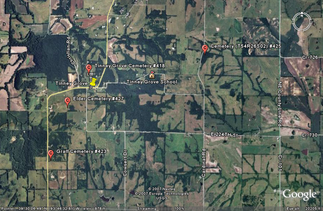
Graff Cemetery Grape Grove Township |
||
Ray County Cemeteries - Web Page
|
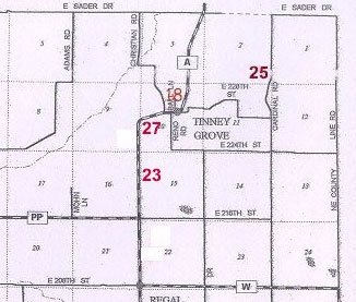
#23 on Grape Grove Township Map |
 |
||
| Graff Cemetery |
#23 on Grape Grove Township Map |
Latitude: 39°29'26.92"N Longitude: |
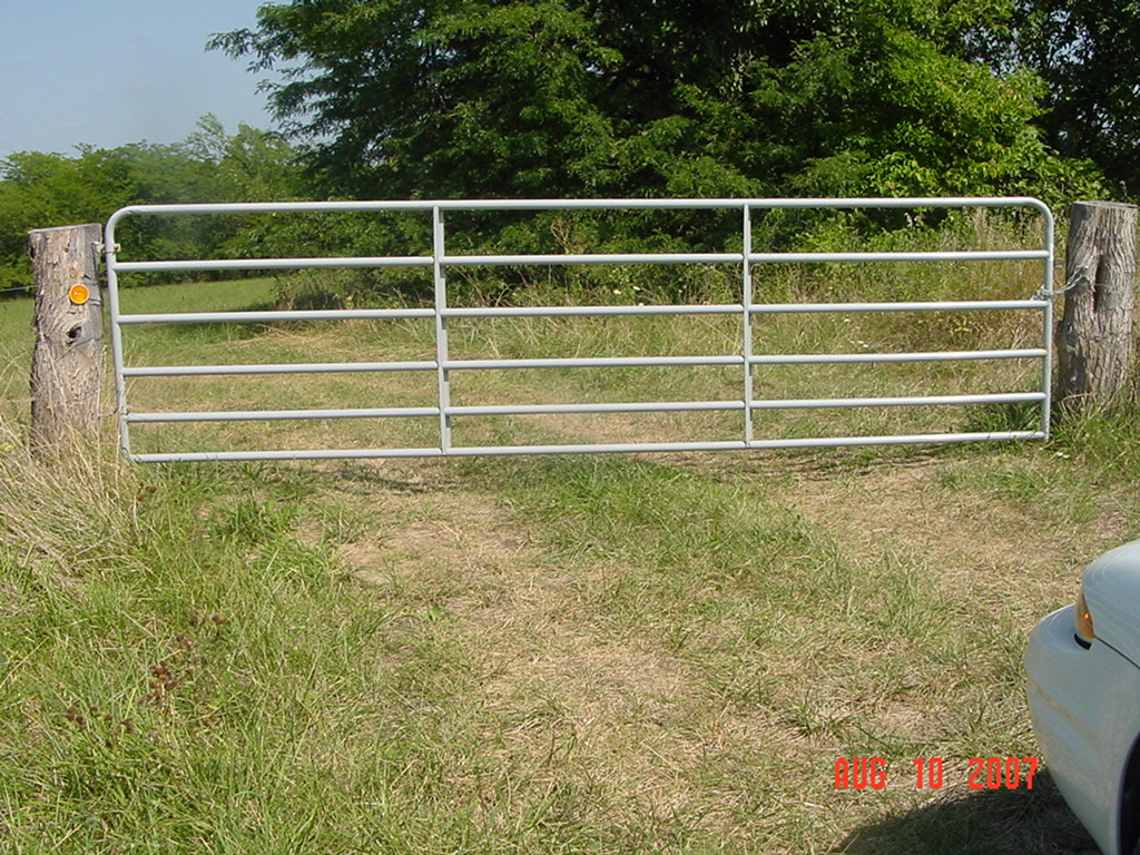
Located on the east side of "A" Highway, 6/10 miles north of PP Highway. There is a gate at the entrance of the cemetery.
This is a new cemetery established in 2007. The first and only burial as of August 2007 was Steve Willis. There was only flower on the grave with no stone at this time. Owned by Michael Graff. |
 |
 |
Transcription:
Ray County Home Page | MoGenWeb | USGenWeb | WorldGenWeb | E-Mail County Coordinator
To add additional information relating to Ray County, Missouri Genealogy, E-Mail the county coordinator.
since November 11, 2006
Last Updated