|
 |
|
|
|
|
#429
Cemetery (T53R26S06) Grape Grove Township |
||
Ray County Cemeteries - Web Page
|
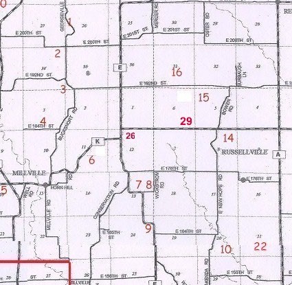
#29 on Grape Grove Township Map |
||||
| Cemetery T53R26S06 | Latitude: 39°25'29.27"N
Longitude: 93°51'9.15"W |
1877 & 1897 Atlas, west of New Hope Cemetery on "K" highway |
Transcription:
Ray County Home Page | MoGenWeb | USGenWeb | WorldGenWeb | E-Mail County Coordinator
To add additional information relating to Ray County, Missouri Genealogy, E-Mail the county coordinator.
since November 11, 2006
Last Updated