|
 |
|
|
|
|
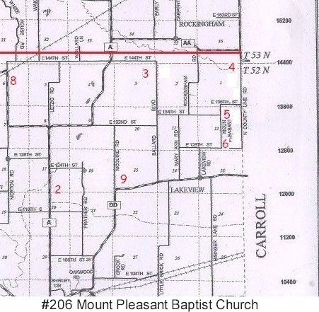
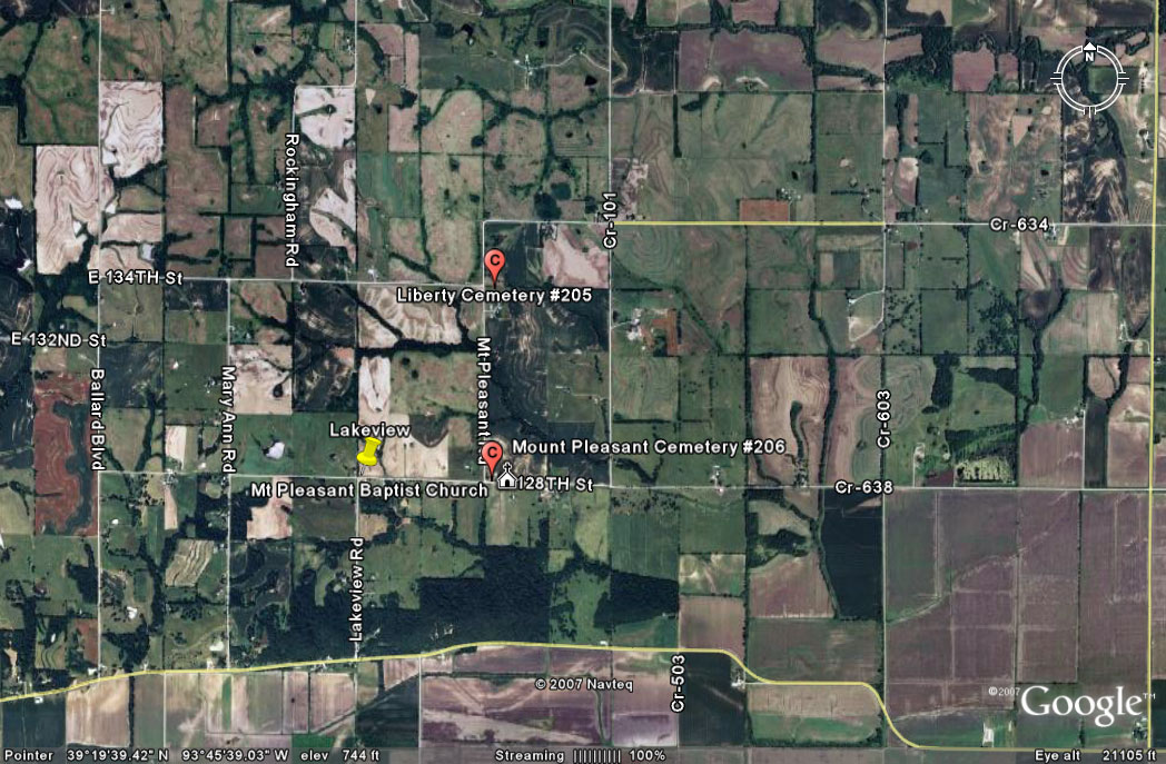
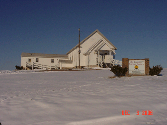
#206
Mount Pleasant Baptist Cemetery Crooked River Township |
||
Ray County Cemeteries - Web Page
| Mount Pleasant (Baptist) | #6 on Crooked River Township Map | Latitude: 39°19'20.00"N Longitude: 93°46'3.00"W |
shown as location #6 on Ray County History 1973 cemetery map p. 230 Crooked River Township (I visited the location of the church, but didn't see the cemetery???) There's a cemetery behind the church |
. |
 |
Transcription:
Ray County Home Page | MoGenWeb | USGenWeb | WorldGenWeb | E-Mail County Coordinator
To add additional information relating to Ray County, Missouri Genealogy, E-Mail the county coordinator.
since November 11, 2006
Last Updated