|
 |
|
|
|
|
#205
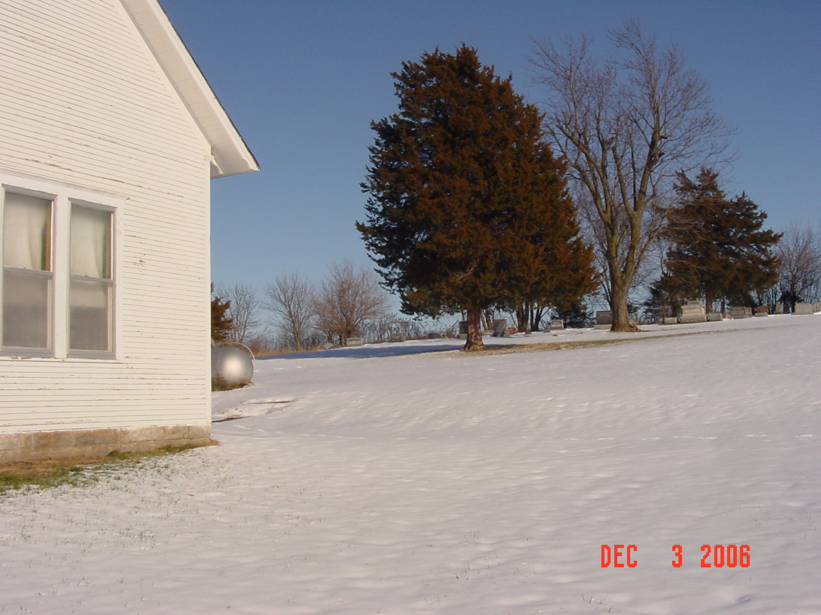
Liberty Cemetery Crooked River Township |
||
Ray County Cemeteries - Web Page
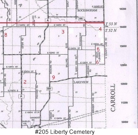
| Liberty Cemetery | #5 on Crooked River Township Map | Latitude: 39°19'58.00"N
Longitude: 93°46'2.00"W |
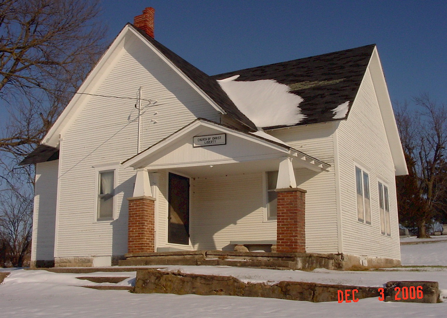
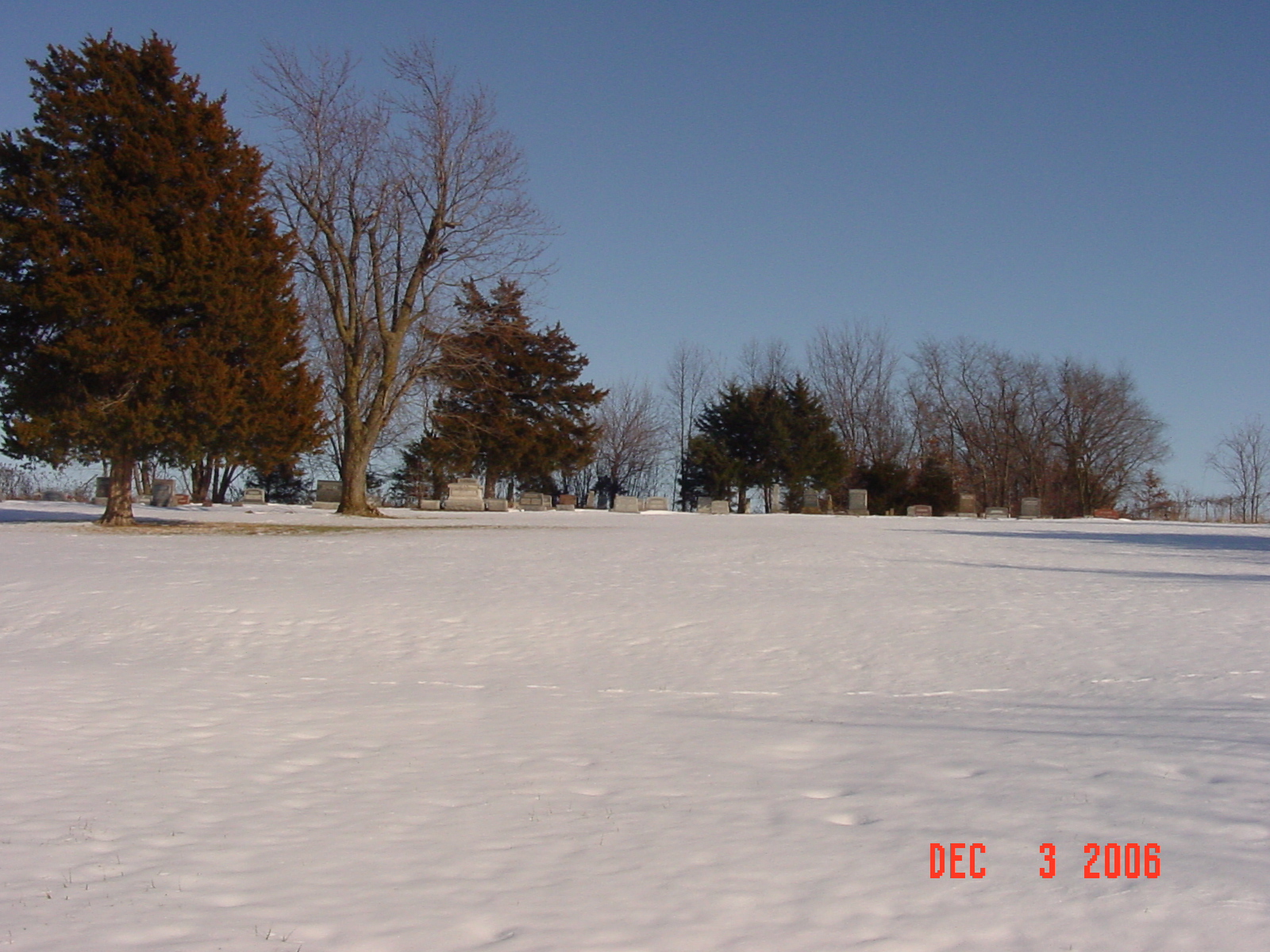
northeast of Hardin Ancestry.com: South of Leakey Cemetery, about one half mile south DAR Index: from Ray/Carroll county line go west on E. 136th Street 7/10 miles. Cemetery is located on the east side of the road behind the church. 1973 Ray County History: This cemetery consists of one acre back of the Liberty Church of Christ, nine miles northeast of Hardin, Mo. About 1897 two acres of ground were purchased, one acre for a church and one acre for a cemetery. The following families were instrumental in the founding and the early life of the church: H. C. Brenneman, S. R. Henley, John H. Renick, J. M. Rhodes, J. L. Herring, S. P. Wheeler, John Donaldson, James Leyda, W. E. Clark, J. G. Collier, T. S. Martin, Morton Wheeler, James Parnell, Dee Bowman, and others. The cemetery has been maintained in good condition through all the years. |
compiled by Elizabeth Prather Ellsberry, Juliette L. Smith and Mrs. Carlton Richardson
v. 3. Hardin, Clark, Leakey, Liberty, Wakenda cemeteries |
FHL 977.819 V3e v. 3-4 |
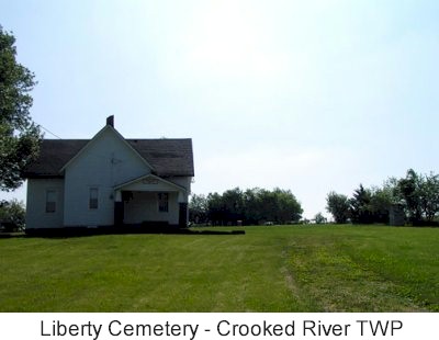
photo submitted by Jennifer Zunker |
|
 |
 |
 |
 |
Transcription:
Ray County Home Page | MoGenWeb | USGenWeb | WorldGenWeb | E-Mail County Coordinator
To add additional information relating to Ray County, Missouri Genealogy, E-Mail the county coordinator.
since November 11, 2006
Last Updated