|
 |
|
|
|
|
#201
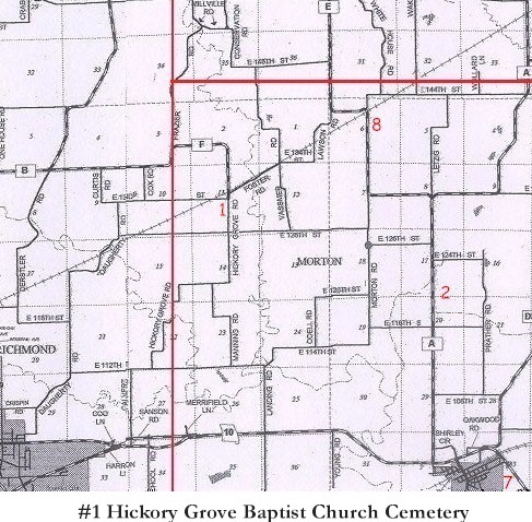
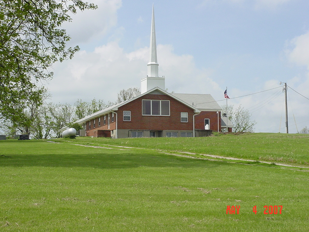
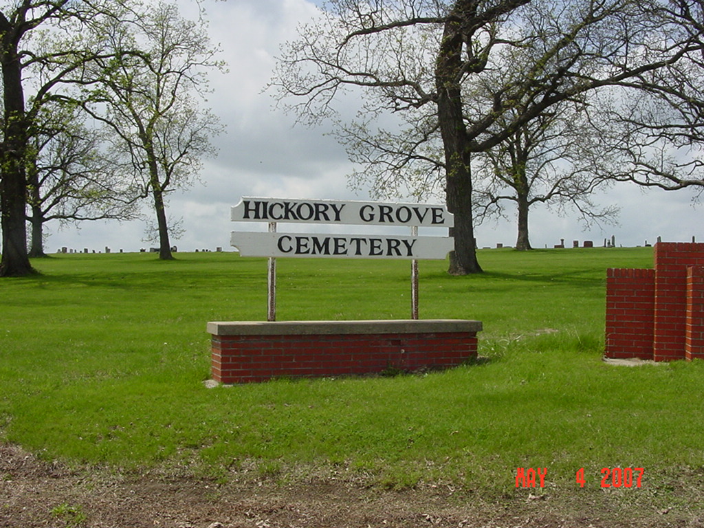
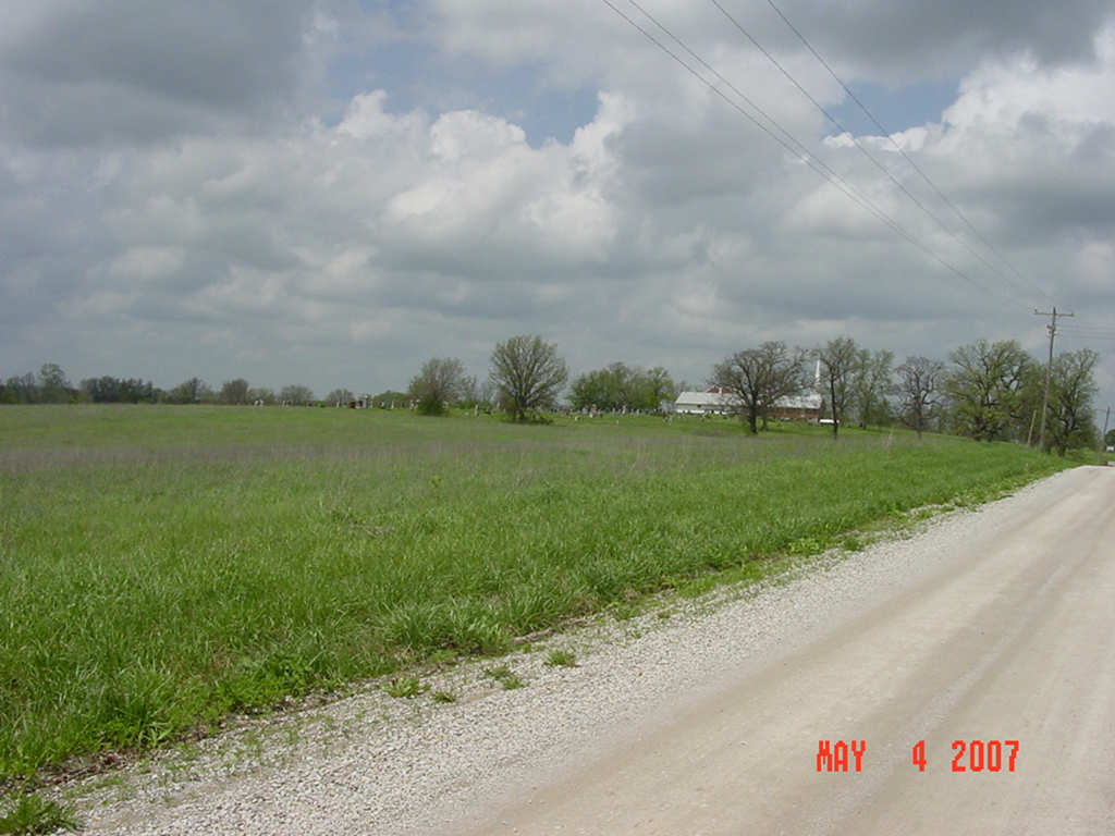
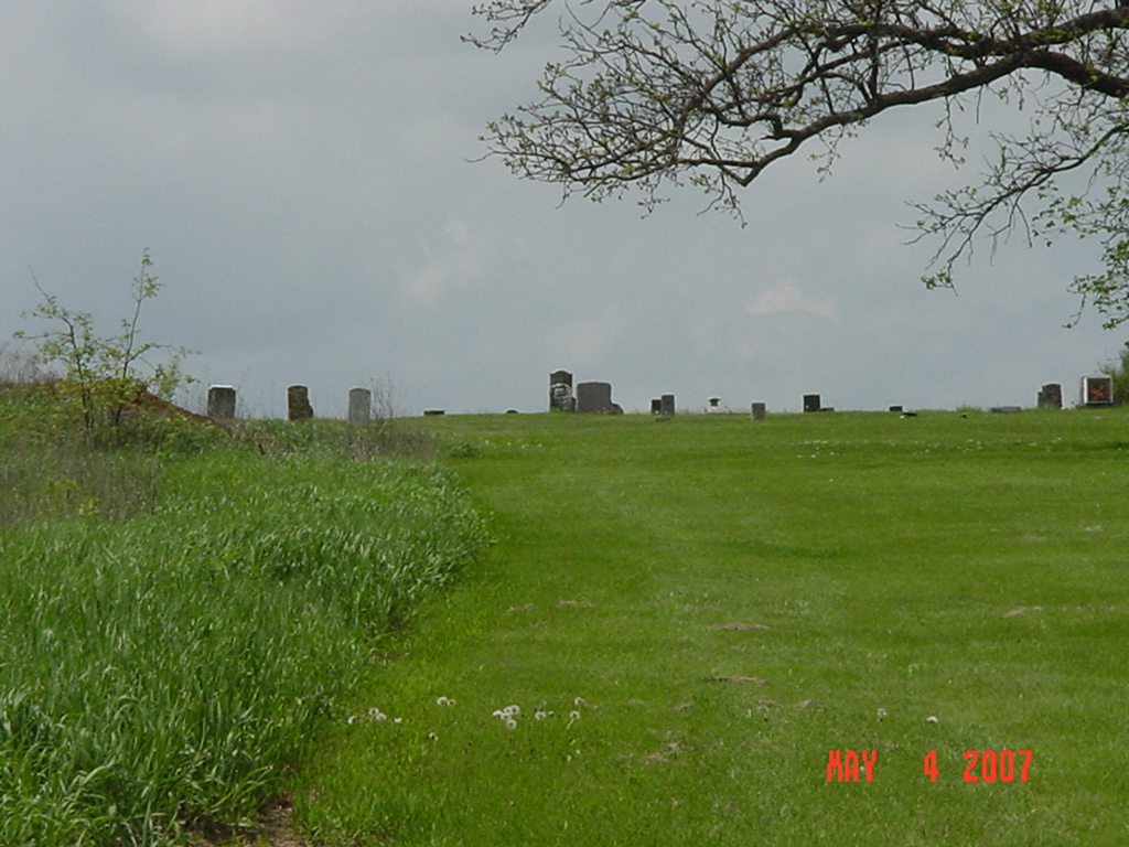
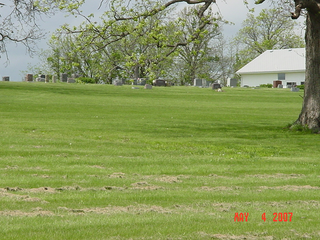
Hickory Grove Baptist Church Cemetery Crooked River Township |
||
Ray County Cemeteries - Web Page
| Hickory Grove Baptist Church Cemetery | Latitude: 39°19'44.00"N Longitude: |
Located 4 miles north of Richmond, MO on Highway 13, 1-1/2 miles east on Route B, 3 miles east on Route F, and 3/4 miles south.
DAR Index: Located at the intersection of East 132nd Street and Hickory Grove Road, at south end of Route F by the church --- Ray County History 1973, p. 233: Hickory Grove Cemetery was established January 1869 on land donated and sold by Jane Dulaney and Anna J. Smith for graveyard purposes. The first burial there was that of Mary E. Smith who was dragged to her death by a horse. Her grave marks the center of the cemetery, and all the land around her grave was donated. It is a beautiful country cemetery located seven miles north of Richmond, off State Road F, and gets its name from the grove of hickory trees. |
compiled by Elizabeth Prather Ellsberry, Juliette L. Smith and Mrs. Carlton Richardson
v. 6. Craven, Hickory Grove, Lavelock, Pleasant View cemeteries |
FHL 977.819 V3e v. 5-6
Ray 929.3 Ell (p. 30-45) |
|||

photo submitted by Jennifer Zunker |
 |
 |
 |
 |
 |
Transcription:
Ray County Home Page | MoGenWeb | USGenWeb | WorldGenWeb | E-Mail County Coordinator
To add additional information relating to Ray County, Missouri Genealogy, E-Mail the county coordinator.
since November 11, 2006
Last Updated