|
 |
|
|
|
|
#208
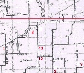
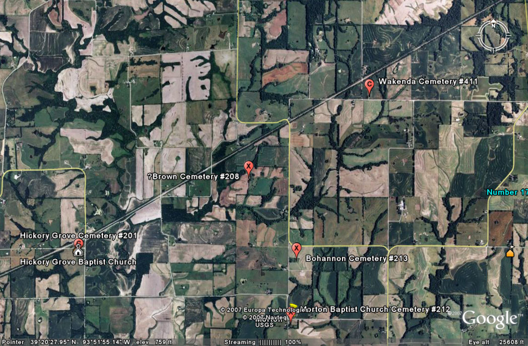
Brown Cemetery Crooked River Township |
||
Ray County Cemeteries - Web Page
 |
|||
| Brown Cemetery | Latitude: Longitude: |
DAR Index: From Route A, go west and north on Route E about 1.7 miles. Cemetery is on the west side of the road about 1/2 mile back in a field | recorded and compiled by Pauline Brown; Microreproduction of original typescript (4 p.). on 1 microfilm reel ; 35 mm | FHL Film 962409 Item 6 | ||
Transcription:
Ray County Home Page | MoGenWeb | USGenWeb | WorldGenWeb | E-Mail County Coordinator
To add additional information relating to Ray County, Missouri Genealogy, E-Mail the county coordinator.
since November 11, 2006
Last Updated